Laguna Volcano
Updated: Apr 24, 2024 13:31 GMT -
caldera 743 m / 2,438 ft
Luzon Island (Philippines), 14.42°N / 121.27°E
Current status: (probably) extinct (0 out of 5)
Luzon Island (Philippines), 14.42°N / 121.27°E
Current status: (probably) extinct (0 out of 5)
The elliptical, 10 x 20 km wide caldera of Laguna de Bay is located immediately SE of Manila city, Philippines. It is the largest lake on Luzon Island and its surface is only 1 m above sea level.
Jalajala is a fumarole field on the flank of Mount Sembrano on the shore of Laguna de Bay.
[smaller] [larger]
Laguna volcano eruptions: ca. 27,000 years ago and possibly younger
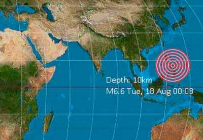
Latest nearby earthquakes
| Time | Mag. / Depth | Distance / Location | |||
Background
Pre-caldera eruptions formed basaltic to basaltic-andesitic volcanoes, including the extinct Talim Island and Mount Sembrano stratovolcanoes located on opposite sides of the current caldera.The caldera has formed during at least 2 major explosive eruptions about 1 million and 27,000-29,000 years ago.
Activity after the caldera formation consisted in the formation of explosion craters on the southern end of the Talim Island at the SW rim of the caldera. Some of these maars are young, but their precise ago is unknown.
(Source: GVP volcano information)
Laguna Volcano Photos

island colours - full moon over ice laguna (Photo: Tom222)

Laguna del Irazu Volcano, Costa Rica (Photo: WNomad)
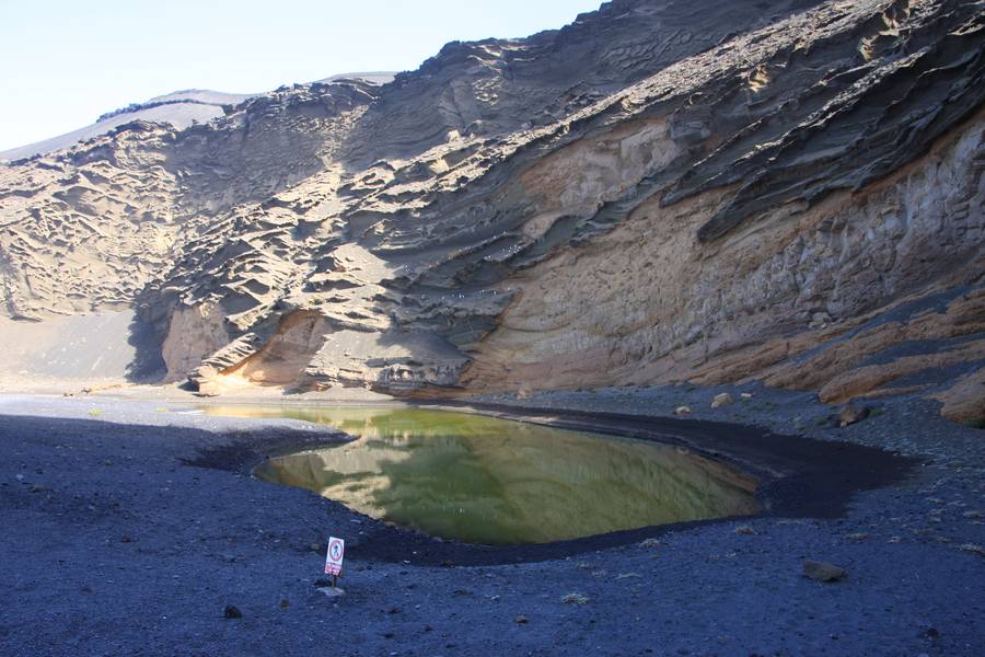
Volcanic crater Charco de los Ciclos/ Laguna el Golfo , Yaiza, Lanzarote Isl., Canaries (Photo: WNomad)
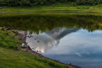
Family enjoying a nice day at the Laguna Carrizalillo. (Photo: Tom Pfeiffer)
Latest satellite images