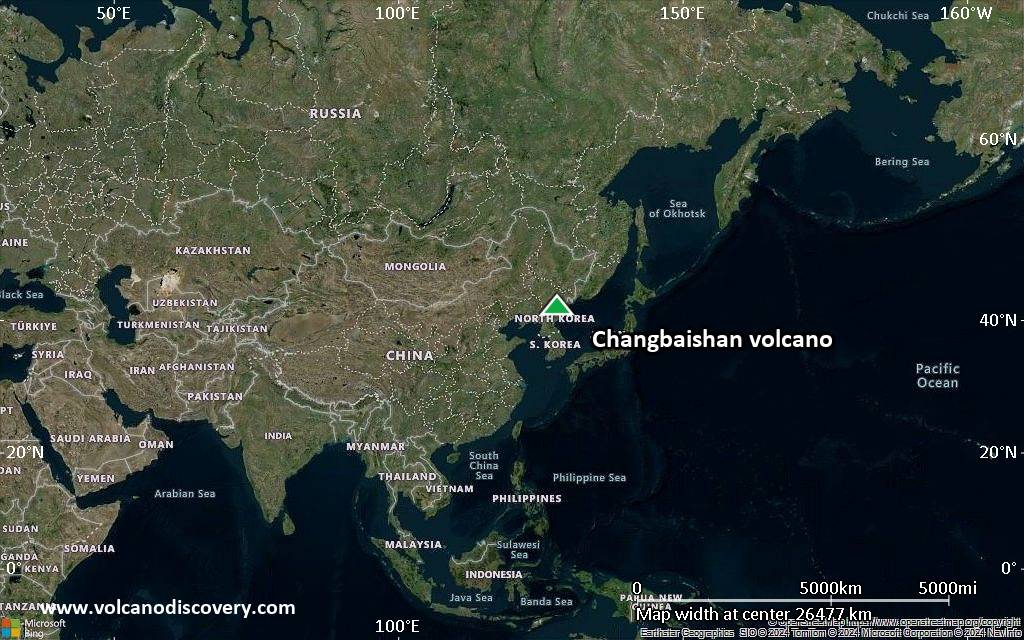
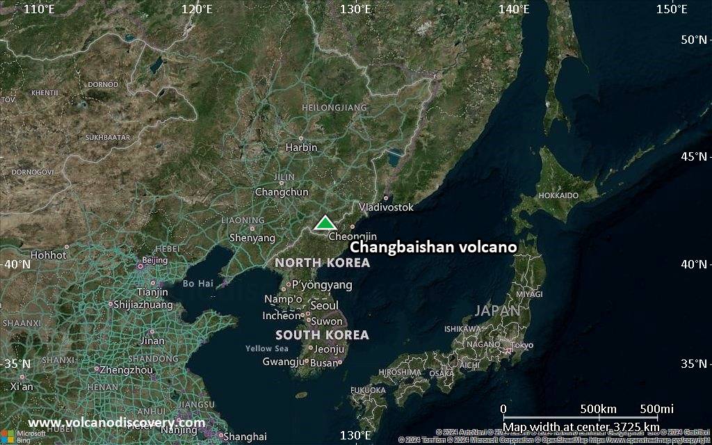
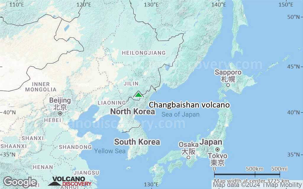
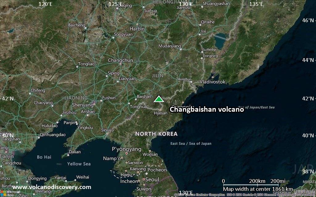
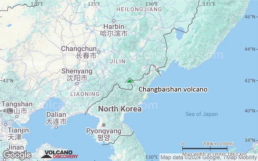
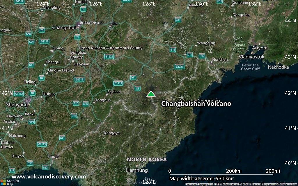
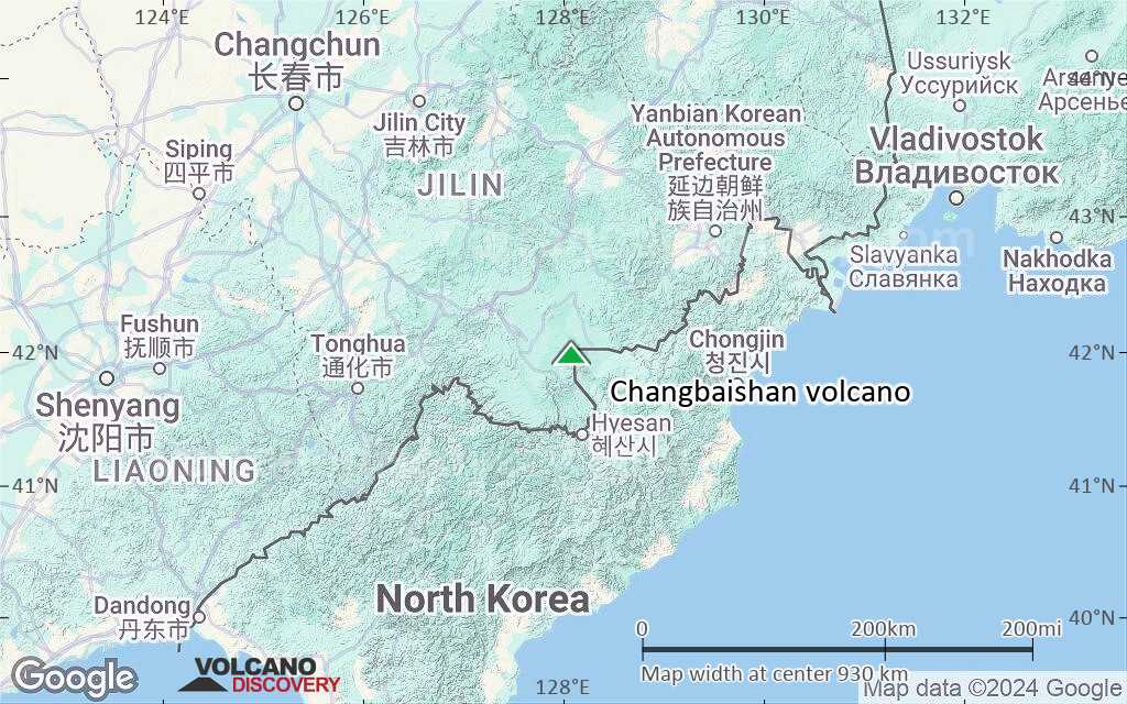
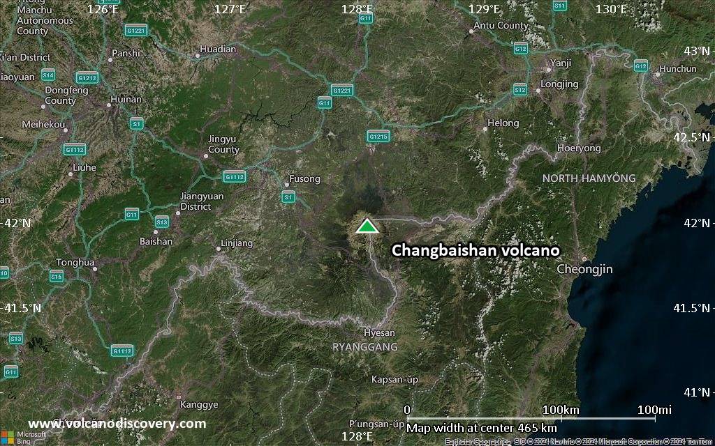
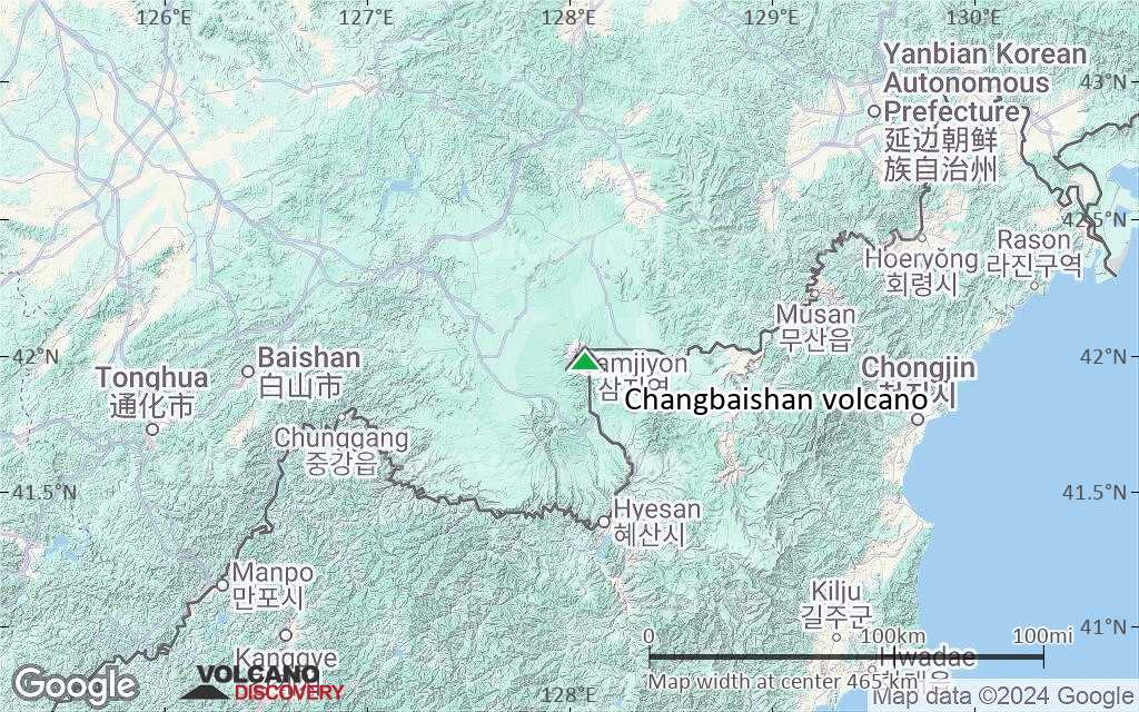
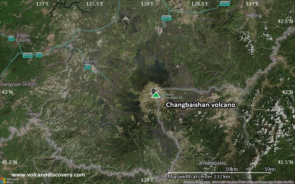
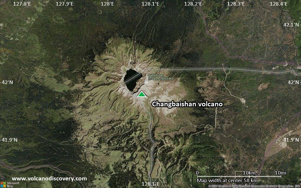
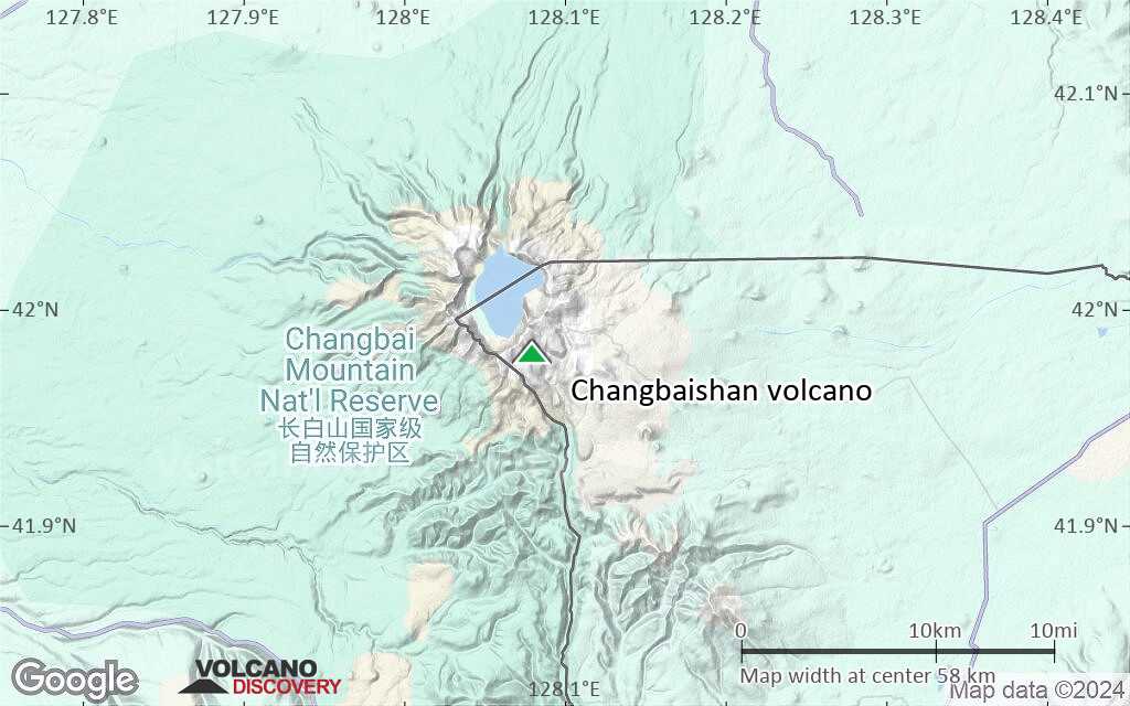
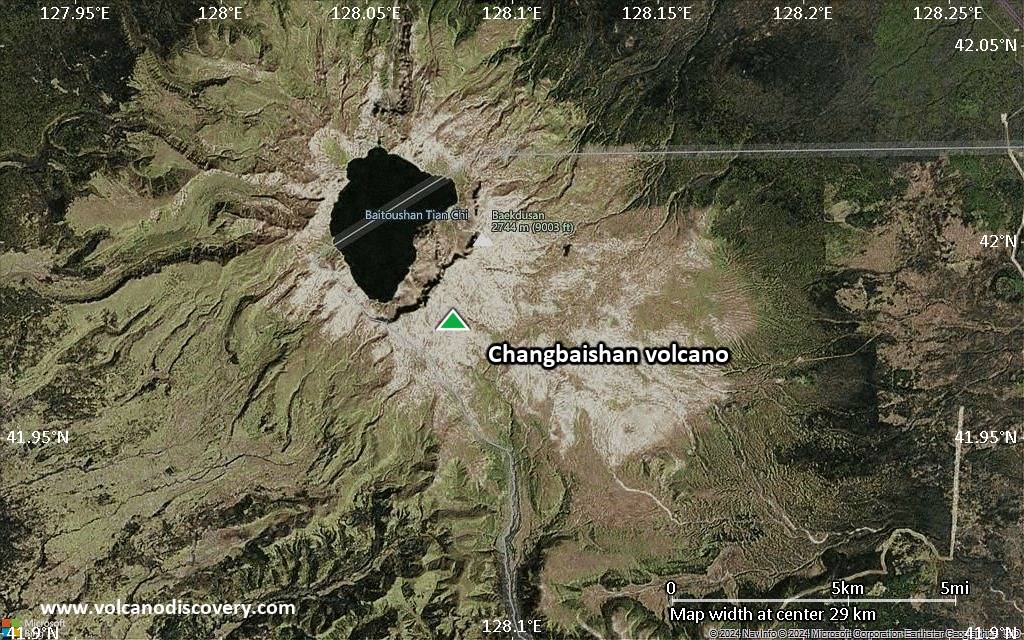
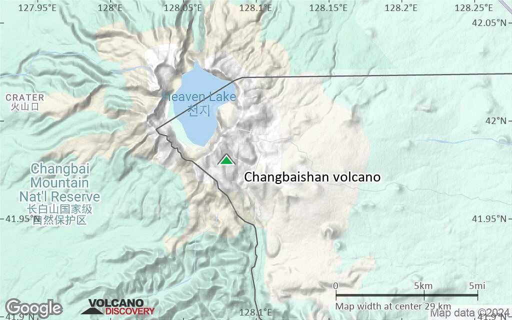
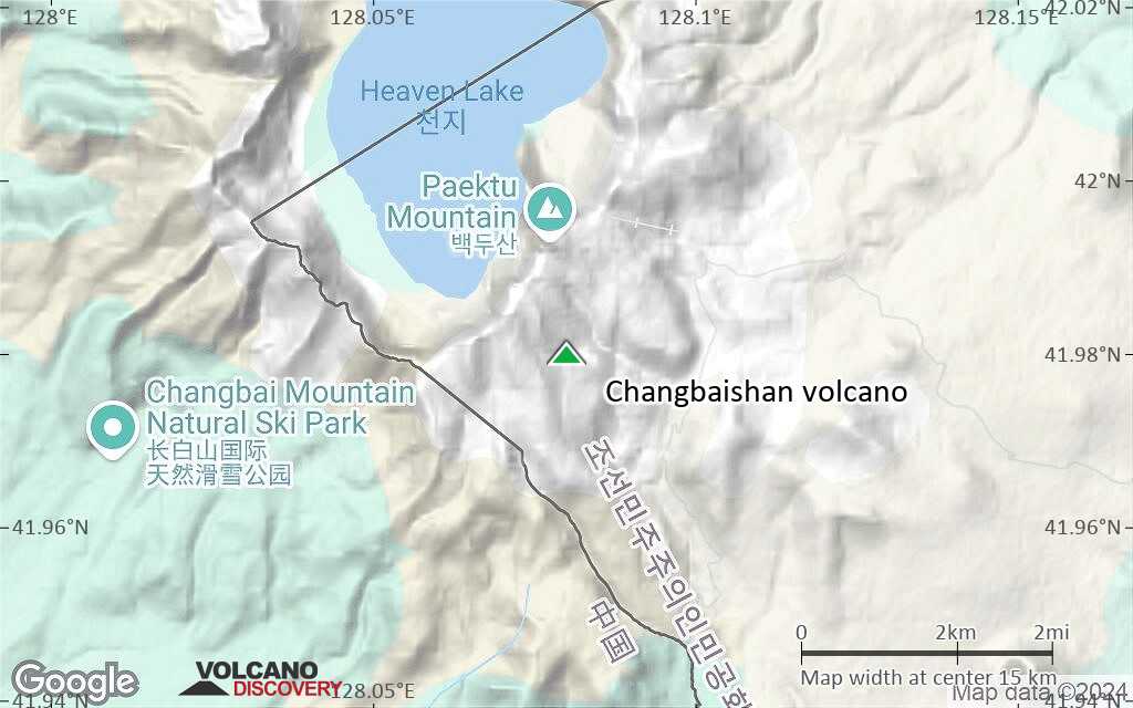
Changbaishan Volcano
Changbaishan (or Baitoushan) volcano is a large stratovolcano at the NE China - N Korean border and is and the most active in China.
It is also known as Tianchi, or in Korean as Baegdu or P'aektu-san (Paektusan) volcano.
One of the largest explosive eruptions in the world during the past 10,000 years occurred around 969 ±20 AD and is known as the Baitoushan eruption. It erupted about 30 cubic km of magma, about half as much as Tambora in 1815 AD or 3 times as much as Krakatau in 1883. The eruption produced rhyolitic and trachytic pumice and ash fall as far as northern Japan, and formed part of the present-day caldera.
Small eruptions have been recorded in historic times since the 15th century, the last being a small explosion in April 1903.
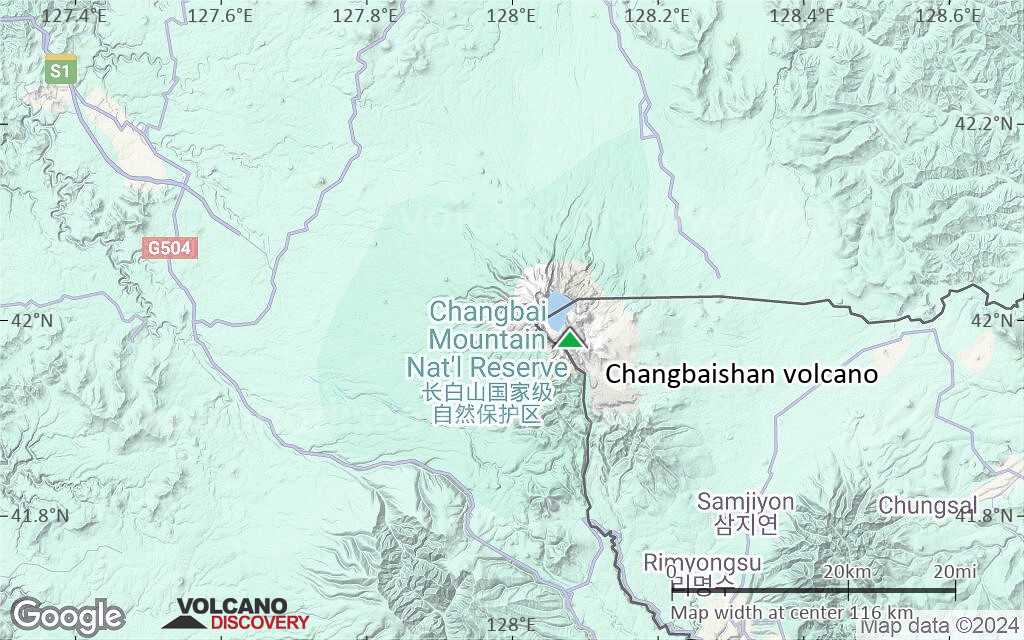
Out of China's 14 active volcanoes, Baitoushan is considered the most dangerous volcano. The major hazard are lahars from the huge lake in the 5-km-wide caldera that could threaten the mostly Korean population of about 100,000 living near or on the slopes of the volcano, as well as the many tourists visiting the volcano in summer.
Changbaishan volcano eruptions: 1903, 1898, 1702, 1668, 1597 (?), 1413 (?), 969 AD ±20 (large Plinian eruption VEI 7), 180 BC ± 75 years, 1000 BC (?), 2160 BC ± 100 years
Latest nearby earthquakes
| Date and Time | Mag / Depth | Distance / Location | |||
|---|---|---|---|---|---|
Background
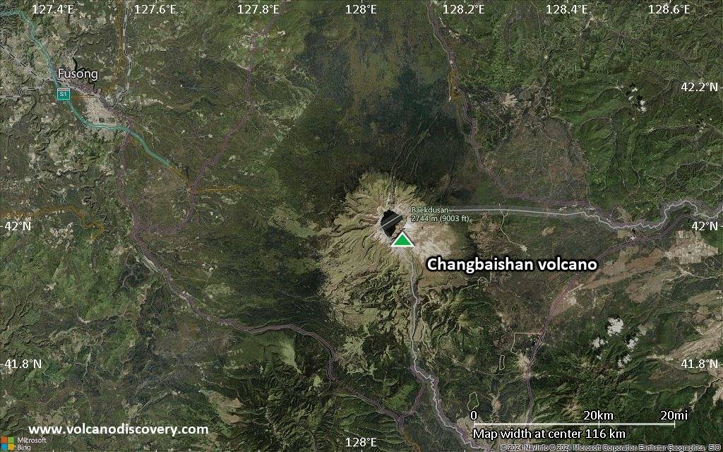
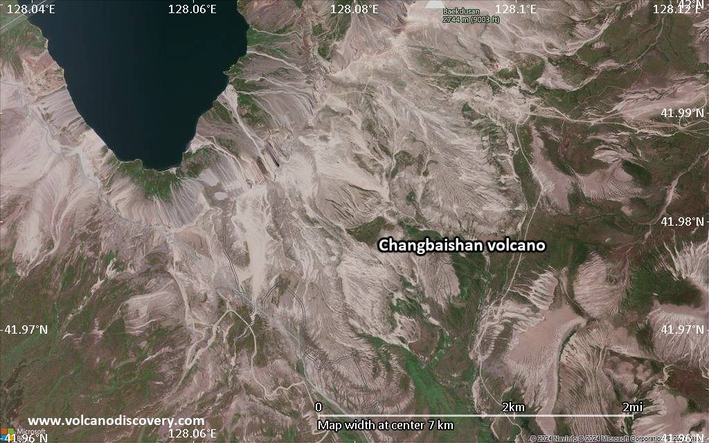
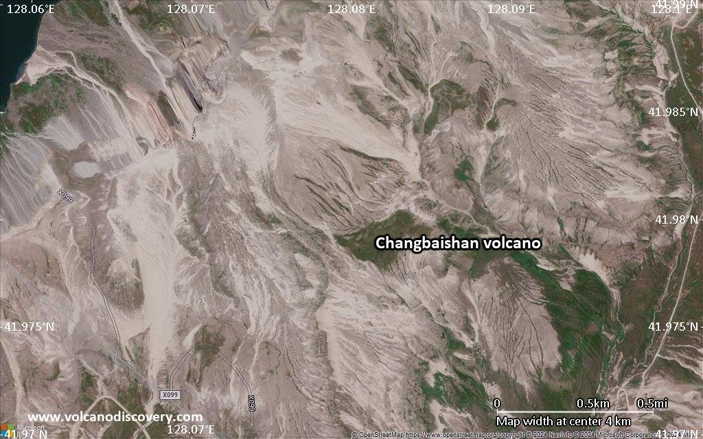
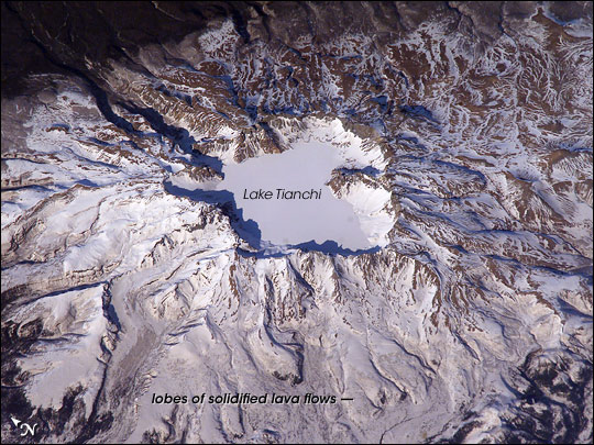
Changbaishan is relatively poorly known, due to its remote location. It contains a 5-km-wide, 850-m-deep summit caldera occupied by scenic Lake Tianchi ("Sky Lake").The volcano has a diameter of 60 km and is composed dominantly of trachytic and rhyolitic lavas, overlying an older shield volcano known as the Changbaishan or Laoheidingzi shield volcano. There are numerous flank cones on a NNE rift zone.
Sources:
- Smithsonian / GVP Changbaishan volcano information
- Horn S, Schmincke H (2000) "Voltatile emission during the eruption of Baitoushan volcano (China/North Korea) ca. 969 AD" Bull Volc, v. 61, pp. 537-555
- V. G. Sakhno (2007) "Chronology of eruptions, composition, and magmatic evolution of the Paektusan Volcano: Evidence from K-Ar, 87Sr/86Sr, and δ18O isotope data", Geology, v. 412 (1), pp. 22-28
- Miyamoto T (2002) "The time sequence of eruption of Baitoushan volcano in 10th century and folktales about the eruption", Japan Geoscience Union Meeting 2002, Abstract V032-003
Significant volcanic eruptions: Changbaishan volcano
Additionally, there are 3 uncertain or discredited eruptions from Changbaishan volcano.
| Date | Note | VEI | Deaths | Damage | |
|---|---|---|---|---|---|
| Liuhaojie tuff ring? Historical obs./docs. | ? | ||||
Historical obs./docs. | 2? | ||||
Historical obs./docs. | ? | ||||
Historical obs./docs. | ? | ||||
?? | Uncertain Eruption | ? | |||
?? | Uncertain Eruption | ? | |||
| Millennium Eruption | 6 | ||||
| 946 AD (eruption | Historical obs./docs. | 7 | Info | ||
| 4P | |||||
?? | Uncertain Eruption | ? | |||
| 4P | |||||
Eruptions of Changbaishan volcano
According to an article in Science, a South Korean geologist claimed that Changbaishan showed signs of activity in June 2010, but Chines scientists deny such activity. ...more info
A news report on 3 Nov 1994 writes about gas emissions from the summit and hot springs, as well as many small volcanic earthquakes that could be felt in the past 2 years. ...more info
The last confirmed eruption of Baitoushan was in April 1903 and produced white and pink comendite–rhyolite pumice and ashes with fiamme-like inclusions of black trachyte and trachyandesite rocks. The deposits are visible on the eastern and southern slopes of the volcano.
One of the largest eruptions in the world during the past 10,000 years occurred around 969 ± 20 AD from Baitoushan volcano. The total volume of tephra has been estimated as 96 ±19 cubic km and ranks as VEI 7. Studies of the pumice fall deposit reconstruct an eruption column reaching 25 km altitude.
Despite the size of the eruption, it is not recorded in historical documents, but there are tales that possibly refer to it in several local legends. ...more info
Changbaishan Volcano FAQ
+When was the last eruption of Changbaishan volcano?
The last confirmed eruption of Changbaishan occurred in 1903.
+How often does Changbaishan volcano erupt?
Since 1668 AD, Changbaishan volcano has had at least 4 historically documented eruptions. This means that it erupts on average every 89 years.
+How active is Changbaishan volcano at present?
Changbaishan volcano is occasionally active: Since 1900, it has had one eruption, which occurred in 1903.
+When was the largest eruption of Changbaishan volcano?
The largest eruption known from the younger geological history of Changbaishan volcano occurred in 946 AD. It ranks as a strombolian to vulcanian eruption with a magnitude 2 on the VEI (Volcanic Explosivity Index) scale.
Latest satellite images
Changbaishan Volcano Maps