Crater Basalt Volcano
Updated: Apr 19, 2024 13:10 GMT -
cinder cones 1359 m / 4,459 ft
Southern Chile and Argentina (South America), -42.02°S / -70.18°W
Current status: normal or dormant (1 out of 5)
Southern Chile and Argentina (South America), -42.02°S / -70.18°W
Current status: normal or dormant (1 out of 5)
Crater Basalt is a volcanic field of 9 cinder cones in the northern Patagonia region of southern Argentina 130 km SE of San Carlos de Bariloche.
The volcanic field covers an area of 700 sq km, and consists of cinder and spatter cones with many overlapping blocky basalt lava flows.
[smaller] [larger]
Crater Basalt volcano eruptions: none in recent times
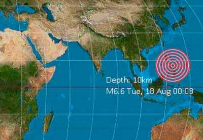
Latest nearby earthquakes
| Time | Mag. / Depth | Distance / Location | |||
Background
The Crater Basalt volcanic field lies about 400 km east of the Perú-Chile trench and is related to extension along the broad regional, NW-SE-trending Gastre fault system. The erupted lavas range in composition from alkali basaltic, basanitic, to trachybasaltic.Radiometric K/Ar ages of lava samples seem to indicate 3 periods of activity: the oldest lava flows were erupted around 1 million years ago (in the center and eastern part of the field, Cerro Ventana, Pinchuleu, Contreras) (1.04 ± 0.43 million years), the second group was active around 600,000 years ago in the central-northern parrt (Cerro Volcán, Fermin). The youngest group (Cerro Antitruz, Negro) was dated around 0.23 ± 0.10 million years ago and forms the western part of the field scoria cone on the Rio Chico-fluvial terrace.
from E to W (old-young):
Cerro Contreras (1004 m) is deeply eroded, only 2 volcanic dikes are well preserved.
Cerro Pinchuleu (1005 m) erupted at least 4 lava flows.
Cerro Ventana (1008 m) is a partially eroded cinder cone. 7 lava flows were fed from this vent.
Cerro Loma Huacha (959 m) is a cinder cone with a small parasitic cone on its northeast flank. Its crater is 50 m wide and breached to the north.
Cerro Fermín (1153 m) is one of the largest cinder cones in the Crater Basalt field large cand produced 6 lava flows. It is composed of spatter, cinder and bombs.
Cerro Volcán (1025 m) is a scoria conewith a 100 m wide and 30 m deep crater.
Cerro Negro (1159 m) is the highest cone of the Crater Basalt volcanic field. It produced at least 4 block lava flows with well-developed channels, which traveled to the west, east, and then NE, where they joined the flows of the Gastre trench near Provincial road 4.
Cerro Antitruz (1100 m) is a pyroclastic cone in the western part of the volcanic field, and is probably the youngest of the group.
---
Sources:
- PÉCSKAY et al (2007) "PRELIMINARY K/Ar GEOCHRONOLOGY OF THE CRATER BASALT VOLCANIC FIELD (CBVF), NORTHERN PATAGONIA", Revista de la Asociación Geológica Argentina 62 (1): pp 25-29
- Mena et al (2005) "Paleomagnetism of postglacial beek-arc basalts in Gastre (northwestern
Patagonia)", 6th International Symposium on Andean Geodynamics (ISAG 2005, Barcelona) , Extended Abstracts: 504-507
Crater Basalt Volcano Photos
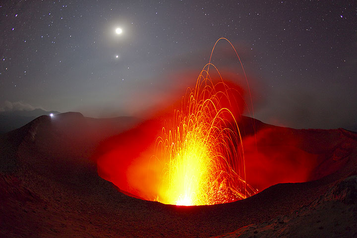
The erupting crater of Yasur volcano under a moon- and starlit sky. The torch of a distant observer on the opposite rim looks like a second moon. (Photo: Tom Pfeiffer)
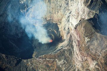
Clear view onto the lava lake inside Marum's west crater. (Photo: Tom Pfeiffer)
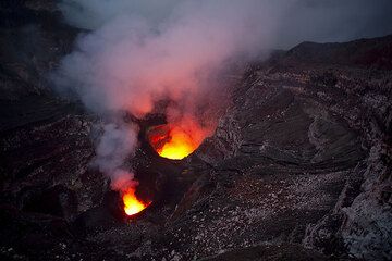
An usually clear view of the interior of Benbow's crater in the evening. (Photo: Tom Pfeiffer)
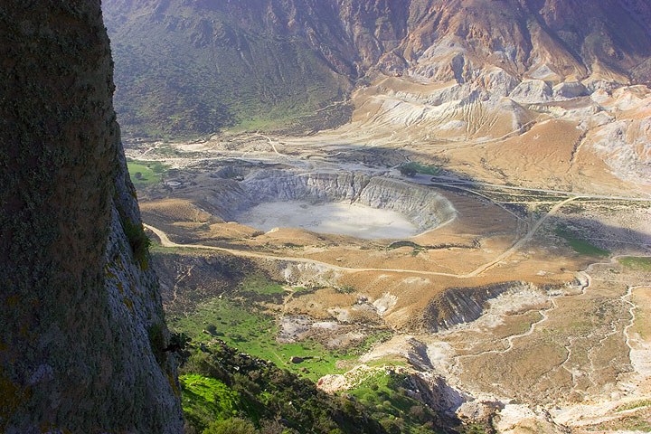
The Stephanos crater seen from Nikia village (Nisyros volcano, Greece) (Photo: Tom Pfeiffer)
Latest satellite images