Aguilera Volcano
Updated: 25. Apr. 2024 00:59 GMT -
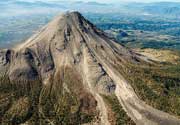
stratovolcano 2546 m / 8,353 ft
Argentinien/Chile (Süden) (Südamerika), -50.33°S / -73.75°W
Aktueller Status: normal / ruhend (1 von 5)
Argentinien/Chile (Süden) (Südamerika), -50.33°S / -73.75°W
Aktueller Status: normal / ruhend (1 von 5)
Aguilera is a dacitic stratovolcano in the southernmost Chilean Andes and located west of Lake Argentina and NE of Peel Fjiord. Its geologic history is poorly known, but there Aguilera must have had a large explosive eruption less than about 3600 years ago, which left a prominent tephra layer.
Aguilera belongs to the Australandean Volcanic Zone of south Patagonia.
[smaller] [larger]
Ausbrüche des Aguilera: 1250 BC ± 150 years
Letzte Erdbeben in der Nähe
| Uhrzeit | Mag. / Tiefe | Entfernung / Ort | |||
Beschreibung
Explosive eruption of Aguilera volcano 3600 years agoA large explosive eruption occurred at Aguilera volcano about 3600 years ago and is recognized by the "A1" tephra layer. The eruption was Plinian in size and erupted ca. 4-9 cubic km of magma. The A1 white tephra layer is deposited in thick sections along the shores of Lago Argentino. It is absent on Tierra del Fuego, but has a very wide distribution north of the Strait of Magellan. At 80 km distance, the airfall tephra layer is still over 10 cm thick and more than 5 cm thick in 130 km distance east of the volcano. This suggests that the wind was blowing from the SW at the time of the eruption and the plume drifted NE.
The pumice of the A1 tephra contains the mineral biotite as phenocrysts, which has not been found in other lavas of Aguilera.
Sources:
- Smithsonian / GVP Aguilera volcano information
- Charles R. Stern (2008) "Holocene tephrochronology record of large explosive eruptions in the southernmost Patagonian Andes", Bull. Volc., Volume 70, Number 4, pp. 435-454
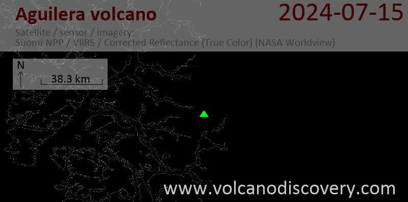
Latest satellite images