Almolonga Volcano
Updated: 24. Apr. 2024 20:37 GMT -
Stratovolcano 3197 m / 10,489 ft
Guatemala, 14.82°N / -91.48°W
Aktueller Status: normal / ruhend (1 von 5)
Guatemala, 14.82°N / -91.48°W
Aktueller Status: normal / ruhend (1 von 5)
[smaller] [larger]
Ausbrüche des Almolonga: 1818 (Cerro Quemado)
Letzte Erdbeben in der Nähe
| Uhrzeit | Mag. / Tiefe | Entfernung / Ort | |||
Beschreibung
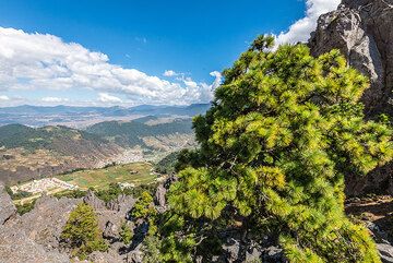
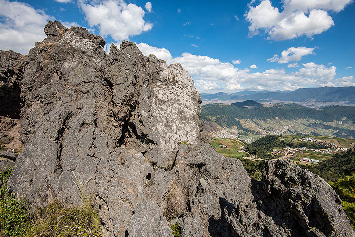
Volcán de Almolonga is an andesitic stratovolcano with a 3.3-km-wide late-Pleistocene central caldera that is located along the Zunil fault zone. The caldera is surrounded by a ring-dike configuration of dacitic and rhyolitic lava domes. The youngest and only historically active dome complex is Cerro Quemado (whose name means Burned Peak), located immediately south of Guatemala's second largest city, Quezaltenango. About 1200 radiocarbon years ago, part of the andesitic-to-dacitic Cerro Quemado dome collapsed, producing a debris avalanche and an associated lateral explosion that swept across the valley to the west as far as the flanks of Siete Orejas volcano. The latest eruption in 1818 produced a blocky 2.5-km-long lava flow. Hot springs are located on the northern and eastern flanks of Cerro Quemado, and the Zuníl geothermal field, the site of a geothermal exploration project, lies on the SE flank of Cerro Quemado.---
Smithsonian / GVP volcano information
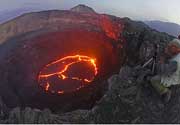
Almolonga Volcano Photos
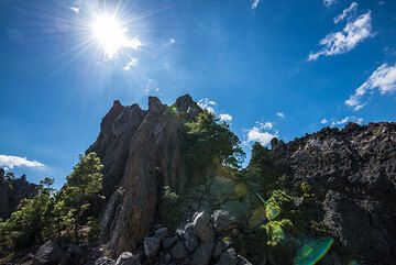
Teil des Lavakuppelkomplexes von Cerro Quemado aus dem Jahr 1818. (Photo: Tom Pfeiffer)
gua_j16980.jpg (Photo: Tom Pfeiffer)
gua_j16961.jpg (Photo: Tom Pfeiffer)
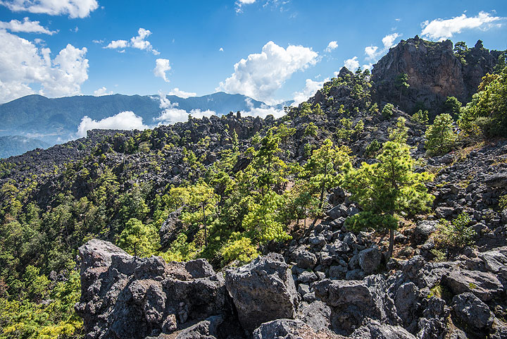
Teile des noch frisch aussehenden Blocklavastroms von 1818. (Photo: Tom Pfeiffer)
Latest satellite images