Kontakt | RSS | EN | DE | EL | ES | FR | IT | RU

Aniakchak Volcano

Updated: 23. Apr. 2024 14:52 GMT -
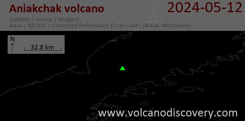
Caldera 1341 m / 4,400 ft
United States, Alaska Peninsula, 56.88°N / -158.17°W
Aktueller Status: normal / ruhend (1 von 5)
Last update: 1 Nov 2023 (Smithsonian / USGS Weekly Volcanic Activity Report)

[smaller] [larger]
Typische Aktivität: unspecified
Ausbrüche des Aniakchak: 1931 

Letzte Erdbeben in der Nähe

No recent earthquakes
UhrzeitMag. / TiefeEntfernung / Ort

Beschreibung

One of the most dramatic calderas of the Aleutian arc, the 10-km-wide Aniakchak caldera was formed around 3400 years ago during a voluminous eruption in which pyroclastic flows traveled more than 50 km north to the Bering Sea and also reached the Pacific Ocean to the south. At least 40 explosive eruptions have been documented from Aniakchak during the past 10,000 years, making it the most active volcano of the eastern Aleutian arc. A dominantly andesitic pre-caldera volcano was constructed above basement Mesozoic and Tertiary sedimentary rocks that are exposed in the caldera walls to elevations of about 610 m. The ice-free caldera floor contains many pyroclastic cones, tuff cones, maars, and lava domes. Surprise Lake on the NE side drains through The Gates, a steep-walled breach on the east side of the 1-km-high caldera rim. Vent Mountain and Half Cone are two long-lived vents on the south-central and NW caldera floor, respectively. The first and only confirmed historical eruption took place in 1931 from vents on the west and SW caldera floor.
---
Smithsonian / GVP volcano information

Latest satellite images

aniakchak satellite image sat1aniakchak satellite image sat2
News
Mi, 1. Nov 2023, 15:00

Aniakchak volcano (Alaska Peninsula, Alaska) - Smithsonian / USGS Weekly Volcanic Activity Report for 25 October-31 October 2023 (Continuing Activity)

AVO reported that on 26 October strong winds in areas NW of Aniakchak and E of Port Heiden dispersed unconsolidated ash up to 0.9 km (3,000 ft) a.s.l. to the NW. The ash cloud was visible in satellite images and in Port Heiden webcam views. ... Read all

Auf dieser Seite:

App herunterladen
Volcanoes & Earthquakes - new app for Android
Android | iOS-Version

Mehr auf VolcanoDiscovery

Warum gibt es Werbung auf dieser Seite?

Unterstützen Sie unsere Arbeit!

Diese Webseite und die dazugehörigen Apps und Tools instandzuhalten und kostenlos Nachrichten zu Vulkanen, Erdbeben und anderen Themen bereitzustellen, verschlingt enorm viel Zeit und auch Geld.
Wenn Sie die Infos mögen und uns in der Arbeit dazu unterstützen wollen, würden wir uns über eine Spende (über PayPal oder mit Kreditkarte) sehr freuen.
Online Zahlung (Kreditkarte)
Damit können wir Ihnen auch in Zukunft neue Features entwickeln und Bestehende laufend verbessern.Vielen Dank!
Sources: VolcanoDiscovery / VolcanoAdventures and other sources as noted.
Use of material: Most text and images on our websites are owned by us. Re-use is generally not permitted without authorization. Contact us for licensing rights.
Volcanoes & Earthquakes
VolcanoDiscovery Home
Vulkane | Erdbeben | Fotos | News | App
Adventure & Study Travel
Reisen zu Vulkanen und Vulkangebieten: Wanderreisen, Studienreisen, Fotoreisen
Tours & Dates | FAQ | About us
Get our newsletter!
Company info
Kontakt | Impressum | AGB
Follow us
Follow us on facebook Follow us on Instagram Follow us on Twitter Visit our Youtube channel
EN | DE | EL | ES | FR | IT | RU
VolcanoDiscovery GmbH, Germany, Reg. nr.: HRB 103744, EU Tax Id: DE 297 465 123 owned and created by
Dr. Tom Pfeiffer, volcanologist, volcano photographer, tour organizer member of
IAVCEI
IAVCEI
Vulkanologische Gesellschaft
Volcanological Society
Ecotourism Greece
Ecotourism Greece
RUV insurance
Insured by R+V
VolcanoDiscovery © 2004- All Rights Reserved | Datenschutz - Cookie Einstellungen