Ararat Volcano
Updated: 24. Apr. 2024 23:47 GMT -
stratovolcano 5165 m
Türkei, 39.7°N / 44.3°E
Aktueller Status: normal / ruhend (1 von 5)
Türkei, 39.7°N / 44.3°E
Aktueller Status: normal / ruhend (1 von 5)
The 5165-m-high, double-peaked stratovolcano Mount Ararat, also known as Agri Dagi, is Turkey's highest, largest volume, and easternmost volcano.
[smaller] [larger]
Ausbrüche des Ararat: 1840 AD
Letzte Erdbeben in der Nähe
| Uhrzeit | Mag. / Tiefe | Entfernung / Ort | |||
Beschreibung
Glacier-clad Ararat, along with its twin volcano, 3925-m-high Kucuk Ararat (or Lesser Ararat), covers an area of 1000 sq km at the eastern end of a SSW-ESE line of volcanoes extending from Nemrut Dagi. Construction of the Greater and Lesser Ararat volcanoes was followed by a period of extensive flank eruptions, many erupted along N-S-trending fissures. The initial stage of flank eruptions produced a cluster of cinder cones and dacitic-rhyolitic lava domes surrounding Greater Ararat and a series of pyroclastic cones and domes on the western flank of Lesser Ararat. Late-stage activity formed large pyroclastic cones lower on the flanks of the two volcanoes. Ararat appears to have been active during the 3rd millennium BC; pyroclastic-flow deposits overlie early Bronze Age artifacts and human remains. Karakhanian et al. (2002) reported historical evidence for a phreatic eruption and pyroclastic flow at the time of a July 1840 earthquake and landslide.Ararat Volcano Photos
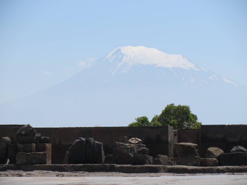
Zvartnots-Ruinen mit dem Berg Ararat im Hintergrund, Armenien (Photo: WNomad)

Kloster Khor Virap mit dem Berg Ararat im Hintergrund, Armenien (Photo: WNomad)
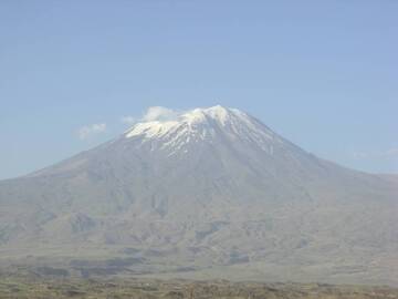
Berg Ararat, Osttürkei (Photo: WNomad)
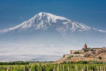
Der mächtige Vulkan Ararat jenseits der türkischen Grenze dominiert die Landschaft Westarmeniens. (Photo: Tom Pfeiffer)
Latest satellite images