Kadovar Volcano
Updated: 20. Apr. 2024 10:34 GMT -
stratovolcano 365 m / 1,197 ft
Northeast of New Guinea (Papua Neuguinea), -3.63°S / 144.63°E
Aktueller Status: normal / ruhend (1 von 5)
Northeast of New Guinea (Papua Neuguinea), -3.63°S / 144.63°E
Aktueller Status: normal / ruhend (1 von 5)
Last update: 5 Nov 2023 (Smithsonian / USGS Weekly Volcanic Activity Report)
Kadovar volcano forms the tiny 2 km wide Kadovar Island, one of the Schouten Islands. It is located 25 km north of the mouth of the Sepik River on New Guinea.
The island is the submerged peak of a stratovolcano at the western end of the 1000 km long Bismarck volcanic arc.
Kadovar contains a 1 km wide breached crater, and the village of Gewai is perched on the crater rim. There are no certain eruptions in historic time, but an increase in thermal activity occurred in 1976.
[smaller] [larger]
Ausbrüche des Kadovar: 2018, 1700 (?)
Letzte Erdbeben in der Nähe
| Uhrzeit | Mag. / Tiefe | Entfernung / Ort | |||
Beschreibung
A landslide occurred in the past, removing part of the south slope and leaving an horse-show shaped car on the south side. The corresponding submarine debris avalanche deposits have been identified. A lava 365-m-high lava dome has partly filled the depression and forms the highest point of the andesitic volcano.The volcano has produced thick lava flows with prismatic lava formations visible at low cliffs on the coast.
The volcano is too young for reefs to have formed around the island.
Ausbrüche des Vulkans Kadovar
1981 increase in thermal activity
The sea in an area off the NE was discolored with an orange stain during aerial inspections on 6 and 19 March 1981.
The sea in an area off the NE was discolored with an orange stain during aerial inspections on 6 and 19 March 1981.
1976 increase in fumarolic activity
The volcano showed signs of a possible eruption in 1976: an increase in fumarolic activity and possible gas emission offshore were noted and all residents of Kadovar were evacuated to Blublup Island.
The first signs were noted May 1976 from an area at the S coast where possibly a small hydrothermal eruption or, more likely, a vigorous emission of gas bubbles occurred. The sea water in the area changed color and became a 100 m-long reddish zone of iron hydroxide in August.
Hot ground was first noticed up on the side of the lava dome around 16 September, and there was an increase in HCl and SO2 emissions which had a maximum temperature of 100 deg C.
In November, a second fumarole had developed near the hot ground discovered in September.
After November 1976 and throughout 1977, the activity stabililzed and later began to decline slowly starting in 1978. An observation in 1981 showed that the new hot areas had decreased in size and regrowth of vegetation has began to recover the area.
---
Source: Smithsonian / GVP monthly reports
1700 possible eruption
A report of "smoke" at the volcano in 1700 could indicate an eruption.
(Smithsonian SEAN Bulletin 01:14, Jan 1976)
A report of "smoke" at the volcano in 1700 could indicate an eruption.
(Smithsonian SEAN Bulletin 01:14, Jan 1976)
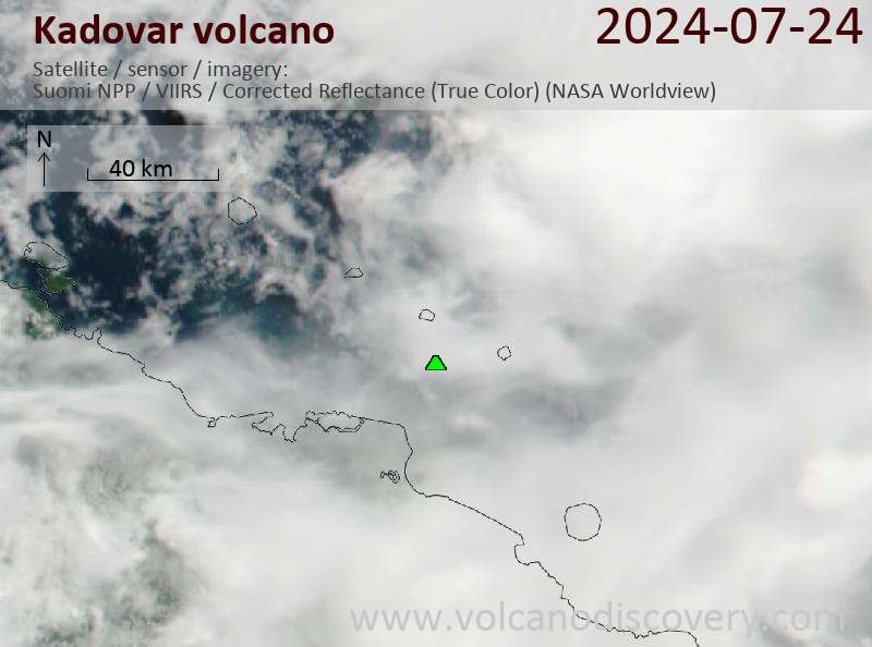
Latest satellite images