Karpinsky Volcano
Updated: 24. Apr. 2024 22:59 GMT -
cinder cones 1345 m / 4,413 ft
Paramushir Island (Kurilen), 50.13°N / 155.37°E
Aktueller Status: normal / ruhend (1 von 5)
Paramushir Island (Kurilen), 50.13°N / 155.37°E
Aktueller Status: normal / ruhend (1 von 5)
Karpinsky volcano is a group of 3 young andesitic cones in southern Paramushir Island, Kuril Islands. The cones are located at the southern end of the Karpinsky Ridge.
The NW cone contains vigorous fumaroles. It has produced a lava flow that flowed 7 km to the SE. The southern cone forms the highest point of the Karpinsky massif. It fed lava flows to the SE and west. The NW cone displays hot springs and sulfur cones containing liquid sulfur that is occasionally ejected outward.
A minor ash eruption in 1952 was the only historical eruption of the Karpinsky group.
(Source: Smithsonian / GVP volcano information)
[smaller] [larger]
Ausbrüche des Karpinsky:
Letzte Erdbeben in der Nähe
| Uhrzeit | Mag. / Tiefe | Entfernung / Ort | |||
Ausbrüche des Vulkans Karpinsky
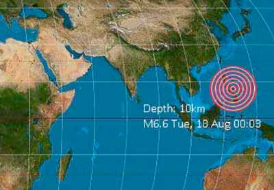
1952 eruption following 9.0 earthquake
An eruption occurred at Karpinsky Volcano on 5 November 1952, one day after a magnitude 9.0 earthquake hit the Kamchatka Peninsula.
An eruption occurred at Karpinsky Volcano on 5 November 1952, one day after a magnitude 9.0 earthquake hit the Kamchatka Peninsula.
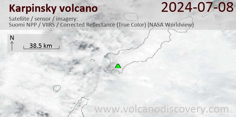
Latest satellite images