Longonot Volcano
Updated: 23. Apr. 2024 12:20 GMT -
Stratovolcano 2776 m / 9,108 ft
Kenya, -0.91°S / 36.45°E
Aktueller Status: normal / ruhend (1 von 5)
Kenya, -0.91°S / 36.45°E
Aktueller Status: normal / ruhend (1 von 5)
[smaller] [larger]
Ausbrüche des Longonot: 1863 ± 5 years
Letzte Erdbeben in der Nähe
| Uhrzeit | Mag. / Tiefe | Entfernung / Ort | |||
Beschreibung
The trachytic Longonot stratovolcano SE of Lake Naivasha in the Gregory Rift valley contains a 8 x 12 km caldera. Formation of the caldera accompanied large explosive eruptions about 21,000 years ago. A large central cone that was constructed within the caldera forms the 2776-m-high summit of the volcano. The younger cone is truncated by a circular, 1.8-km-wide crater. Post-caldera lavas are found on the caldera floor and the volcano's flanks, marking a late stage of effusive eruptions. A well-preserved satellitic cone is located on the NE flank. Masai tradition records a lava flow on the northern flank during the 19th century. Similarly youthful-looking lava flows occur on the SW flank.---
Smithsonian / GVP volcano information
Longonot Volcano Photos
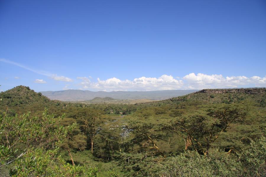
Kratersee, in der Nähe des Lake Naivasha, des Hells Gate NP und des Mt. Longonot, Distrikt Kakuru, Rift Valley, Kenia (Photo: WNomad)

Vulkan Mt. Longonot aus Kijabe, Kenia (Photo: WNomad)
Latest satellite images