Monowai Volcano
Updated: 17. Apr. 2024 19:58 GMT -
submarine volcano -132 m / - 433 ft
Kermandec Islands, New Zealand, -25.89°S / -177.19°W
Aktueller Status: normal / ruhend (1 von 5)
Kermandec Islands, New Zealand, -25.89°S / -177.19°W
Aktueller Status: normal / ruhend (1 von 5)
Last update: 15 Dez 2021
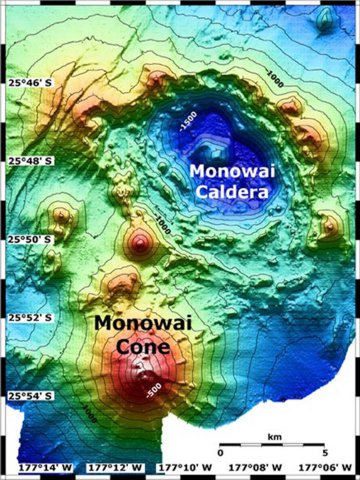
Map view shows Monowai submarine volcano at the lower left, with subsidiary cones on its northern flank. A large submarine caldera lies at the upper right lies to the NE. The contour interval is 100 meters, and the resolution of the bathymetry data is 25 meters. The proprietary bathymetry data were obtained by scientists of the New Zealand National Institute of Water and Atmospheric Research (NIWA) during a 2005 New Zealand/American NOAA Ocean Explorer research expedition to the Kermadec-Tonga arc. Image courtesy of Ian Wright, 2005 (NIWA; http://oceanexplorer.noaa.gov/explorations/05fire)
Monowai seamount (also known as Orion seamount) is one of the most active volcanoes of the Kermancec Arc. It has a large submarine caldera and is located halfway between Tonga and the Kermadec Islands. Eruptions at Monowai occur every few years.
[smaller] [larger]
Ausbrüche des Monowai: 2008, 2006, 2005, 2003, 2002 (Nov), 2002 (May), 1999, 1997-98, 1997 (Apr), 1996, 1995, 1990-91, 1988, 1986, 1982, 1980, 1979, 1978, 1977 (Oct), 1977 (Apr), 1944(?)
Letzte Erdbeben in der Nähe
| Uhrzeit | Mag. / Tiefe | Entfernung / Ort | |||
Beschreibung
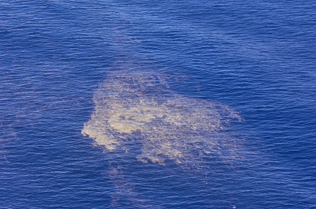
Monowai seamount, also known as Orion seamount, rises to within 100 m of the sea surface about halfway between the Kermadec and Tonga island groups. The volcano lies at the southern end of the Tonga Ridge and is slightly offset from the Kermadec volcanoes. Small parasitic cones occur on the north and west flanks of the basaltic submarine volcano, which rises from a depth of about 1500 m and was named for one of the New Zealand Navy bathymetric survey ships that documented its morphology.A large 8.5 x 11 km wide submarine caldera with a depth of more than 1500 m lies to the NNE. Numerous eruptions from Monowai have been detected from submarine acoustic signals since it was first recognized as a volcano in 1977. A shoal that had been reported in 1944 may have been a pumice raft or water disturbance due to degassing. Surface observations have included water discoloration, vigorous gas bubbling, and areas of upwelling water, sometimes accompanied by rumbling noises.
Source: Smithsonian / GVP volcano information
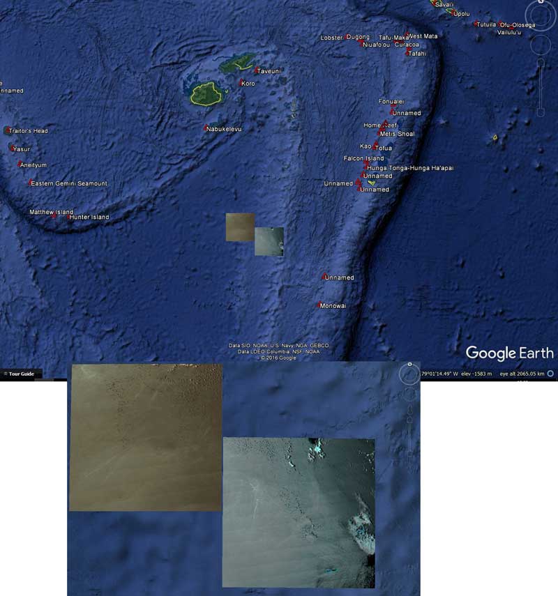
Latest satellite images