Tanga Volcano
Updated: 19. Apr. 2024 05:50 GMT -
stratovolcano / caldera 472 m / 1,549 ft
New Ireland Province (Papua Neuguinea), -3.5°S / 153.22°E
Aktueller Status: (wahrscheinlich) erloschen (0 von 5)
New Ireland Province (Papua Neuguinea), -3.5°S / 153.22°E
Aktueller Status: (wahrscheinlich) erloschen (0 von 5)
Tanga volcano is a mostly submerged stratovolcano and caldera forming the Tanga islands, located 44 km from New Ireland.
The islands belonging to the caldera rim consist of Lif (283 m high), Tefa (155 m), southern Malendok (472 m). The smaller islands Bitlit and Bitbok are post-caldera lava domes in the centre of the caldera.
It is unknown if Tanga volcano is still active. A small hot spring on Malendok Islands marks the only current thermal activity.
[smaller] [larger]
Ausbrüche des Tanga: more than 11,700 years ago
Letzte Erdbeben in der Nähe
| Uhrzeit | Mag. / Tiefe | Entfernung / Ort | |||
Tanga Volcano Photos
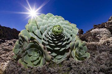
Eine typische wasserhaltige Pflanze auf dem Lavafeld des Vulkans Tanganasoga auf der Insel El Hierro. (Photo: Tobias Schorr)
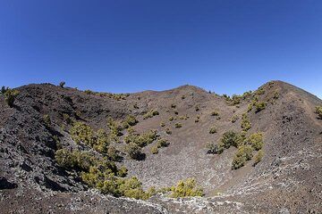
Der westliche Krater des Vulkans Tanganasoga auf der Insel El Hierro. (Photo: Tobias Schorr)
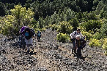
Die Gruppe steigt auf die Krater des Vulkans Tanganasoga auf der Insel El Hierro. Dieser Vulkan könnte erneut ausbrechen und in den letzten Jahren wurden in seiner Nähe v...
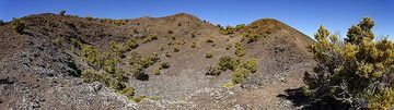
Panoramablick auf den Tanganasoga-Krater auf der Insel El Hierro. (Photo: Tobias Schorr)
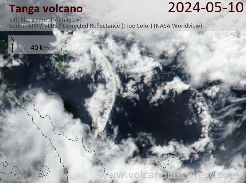
Latest satellite images