Tepi Volcano
Updated: 25. Apr. 2024 02:19 GMT -
Shield volcano 2728 m / 8,950 ft
Ethiopia, 7.42°N / 35.43°E
Aktueller Status: normal / ruhend (1 von 5)
Ethiopia, 7.42°N / 35.43°E
Aktueller Status: normal / ruhend (1 von 5)
[smaller] [larger]
Ausbrüche des Tepi: unknown, no recent eruptions
Letzte Erdbeben in der Nähe
| Uhrzeit | Mag. / Tiefe | Entfernung / Ort | |||
Beschreibung
The densely forested Tepi basaltic shield volcano, morphologically unmodified in a region of high rainfall, is capped by prominent cinder cones and small craters. Three satellitic centers are located along an E-W line north of the main shield, whose 2728-m-high summit forms Ethiopia's highest Holocene volcano. Lava flows have traveled down pre-existing valleys. Tepi lies at the northern end of the Turkana rift, about 300 km west of the center of the main Ethiopian rift and was constructed along a zone of ENE-trending faults that extends in line with the Gulf of Aden. Tepi has associated active hot springs and was considered by Davidson (1983) to be of probable Holocene age.---
Smithsonian / GVP volcano information
Tepi Volcano Photos
Totholz und eine giftige Raupe im Krater des Papadayan-Vulkan (Photo: Tobias Schorr)

Giftige Raupe im Papadayan-Krater (Photo: Tobias Schorr)
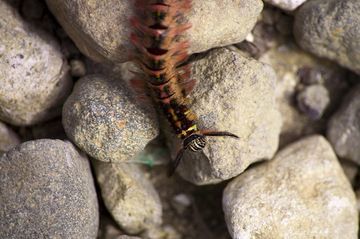
Giftige Raupe auf dem Papadayan Vulkan (Photo: Tobias Schorr)

Giftige Raupe im Krater des Papadayan (Photo: Tobias Schorr)
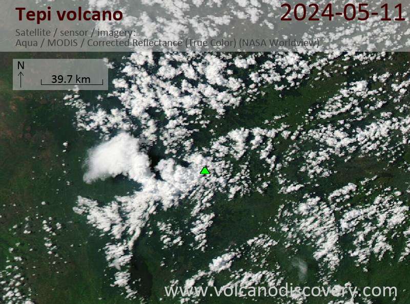
Latest satellite images