Awu Volcano
Updated: 25 abr. 2024 15:48 GMT -
Stratovolcano 1320 m (4,331 ft)
Islas Sulawesi y Sangihe (Indonesia), 3.67°N / 125.5°E
Current status: normal or dormant (1 out of 5)
Islas Sulawesi y Sangihe (Indonesia), 3.67°N / 125.5°E
Current status: normal or dormant (1 out of 5)
Last update: 7 feb 2024 (Smithsonian / USGS Weekly Volcanic Activity Report)
The massive Gunung Awu stratovolcano occupies the northern end of Great Sangihe Island, the largest of the Sangihe arc. Deep valleys that form passageways for lahars dissect the flanks of the 1320-m-high volcano, which was constructed within a 4.5-km-wide caldera.
[smaller] [larger]
Highly explosive. Pyroclastic flows and lahars.
Erupciones del volcán Awu: 1640(?), 1646, 1699(?), 1711, 1812, 1856, 1875, 1883, 1885, 1892, 1893, 1913, 1921, 1922, 1930-31, 1966 (large sub-Plinian explosion), 1968(?), 1992, 2004
Latest nearby earthquakes
| Fecha / Hora | Revista / Prof. | Distancia / Ubicación | |||
Background
Awu is one of Indonesia's deadliest volcanoes; powerful explosive eruptions in 1711, 1812, 1856, 1892, and 1966 produced devastating pyroclastic flows and lahars that caused more than 8000 cumulative fatalities during 5 eruptions (in 1711, 1812, 1856, 1892 and 1966).Awu contained a summit crater lake that was 1 km wide and 172 m deep in 1922, but was largely ejected during the 1966 eruption.
The eruption in 2004 prompted the evacuation of 27,000 people, but the eruption eventually did not escalate into a major event.
Awu Volcano Photos
Cráter de Gunung Mahawu, Tomohon, Sulawesi del Norte, Indonesia (Photo: Jay Ramji)
Volcán Lawu, visto desde la cima de Merapi (febrero de 2015) (imagen: Юлия Грубник) (Photo: ThomasH)
Gunung Mahawu y alrededores, Tomohon, Célebes Septentrional, Indonesia (Photo: Jay Ramji)
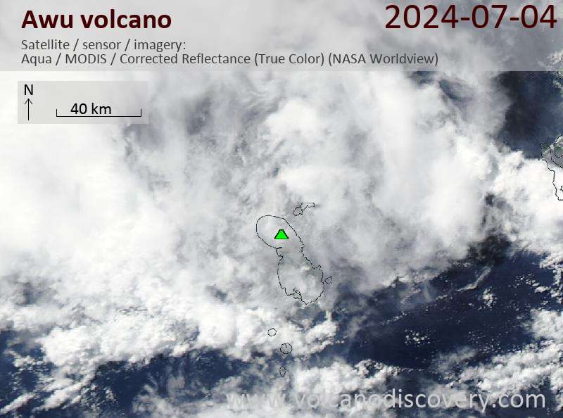
Latest satellite images