Davidof Volcano
Updated: 19 abr. 2024 03:54 GMT -
Stratovolcano 328 m / 1,076 ft
United States, Aleutian Islands, 51.97°N / 178.33°E
Current status: normal or dormant (1 out of 5)
United States, Aleutian Islands, 51.97°N / 178.33°E
Current status: normal or dormant (1 out of 5)
Last update: 29 abr 2022 (Smithsonian / USGS Weekly Volcanic Activity Report)
[smaller] [larger]
Erupciones del volcán Davidof: unknown, no recent eruptions
Latest nearby earthquakes
| Fecha / Hora | Revista / Prof. | Distancia / Ubicación | |||
| 13 abr 01:14 (Adak) | 0.1 4.4 km | 11 km al este | Más | ||
| sábado, 6 abril 2024 GMT (1 sismo) | |||||
| 6 abr 06:39 (Adak) | 4.0 108 km | 28 km al sur | Más | ||
Background
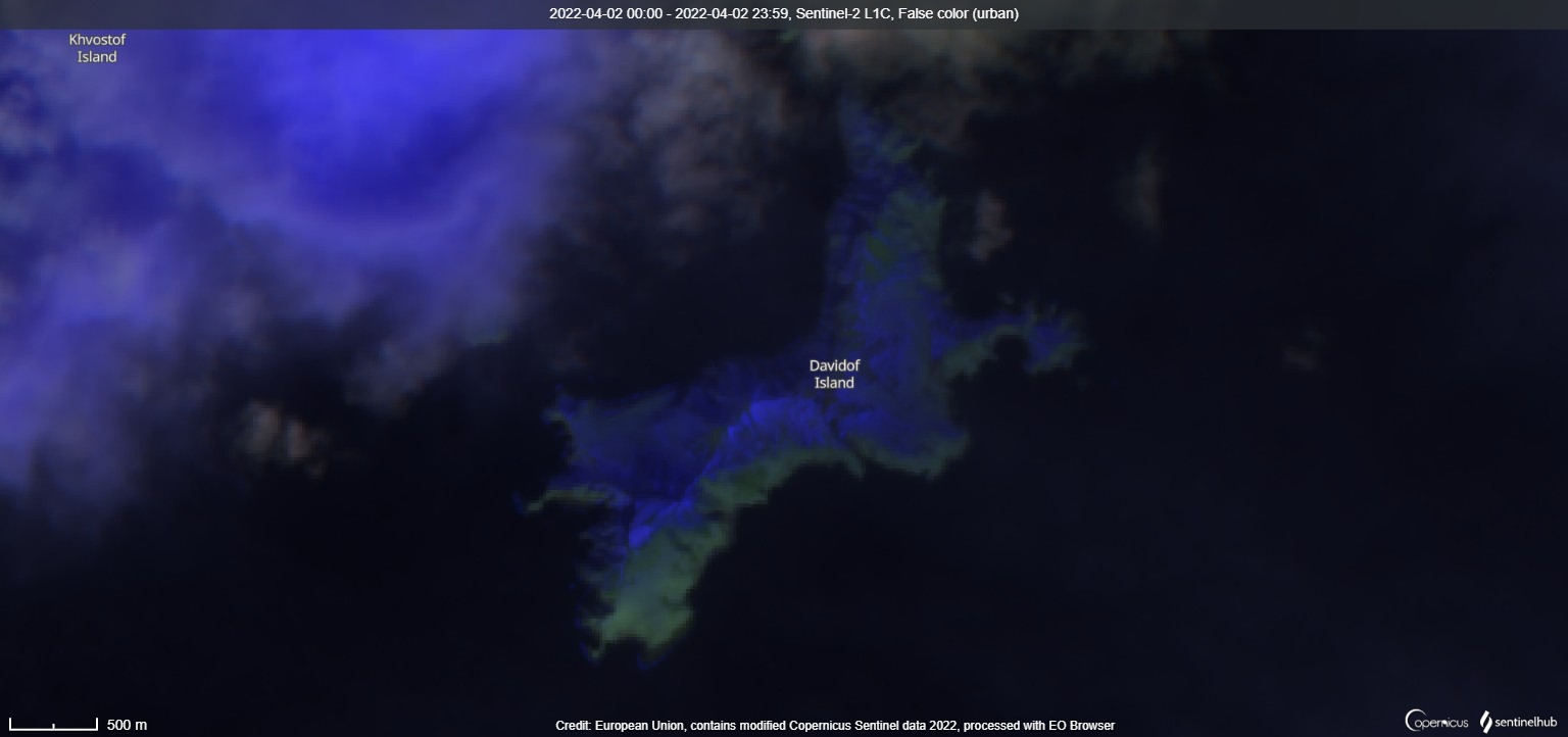
Five small islands, the largest of which is Davidof, are remnants of a stratovolcano that collapsed during the late Tertiary, forming a 2.7-km-wide caldera. The islands, the highest of which reaches only 328 m above sea level, include Khvostof, Pyramid, Lopy, and Davidof. The latter three islands form the eastern rim of the mostly submarine caldera, sometimes referred to as the "Aleutian Krakatau." The islands were constructed above a roughly 100-m-deep submarine platform extending NW-ward to Segula Island; the floor of the caldera lies 80 m below sea level. The islands are vegetated, but lava flows are recognizable, and Smith et al. (1978) suggested a possible Holocene age for the volcano.---
Smithsonian / GVP volcano information
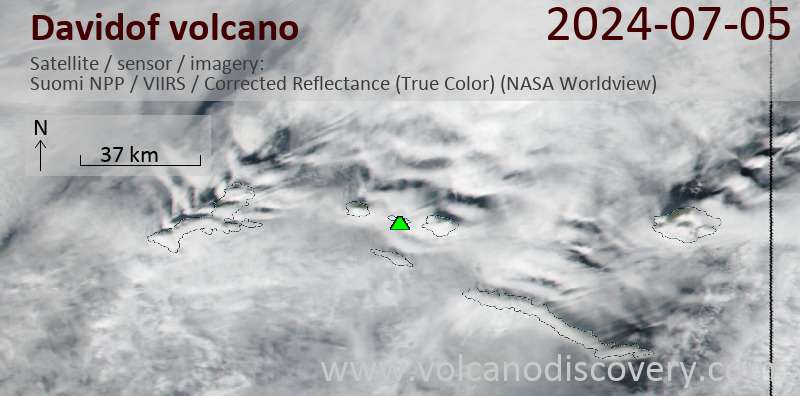
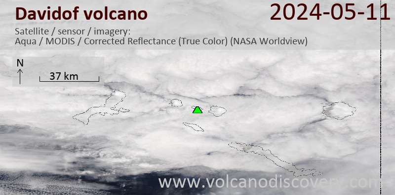
Latest satellite images