NW Rota-1 Volcano
Updated: 24 abr. 2024 20:25 GMT -
Submarine volcano -517 m / - 1,696 ft
United States, Mariana Islands, 14.6°N / 144.78°E
Current status: normal or dormant (1 out of 5)
United States, Mariana Islands, 14.6°N / 144.78°E
Current status: normal or dormant (1 out of 5)
Last update: 14 dic 2021 (Smithsonian / USGS Weekly Volcanic Activity Report)
[smaller] [larger]
Erupciones del volcán NW Rota-1: 2010
Latest nearby earthquakes
| Fecha / Hora | Revista / Prof. | Distancia / Ubicación | |||
Background
A submarine volcano detected during a 2003 NOAA bathymetric survey of the Mariana Island arc was found to be hydrothermally active and named NW Rota-1. The basaltic to basaltic-andesite seamount rises to within 517 m of the sea surface SW of Esmeralda Bank and lies 64 km NW of Rota Island and about 100 km north of Guam. When Northwest Rota-1 was revisited in 2004, a minor submarine eruption from a vent named Brimstone Pit on the upper south flank about 40 m below the summit intermittently ejected a plume several hundred meters high containing ash, rock particles, and molten sulfur droplets that adhered to the surface of the remotely operated submersible vehicle. The active vent was funnel-shaped, about 20 m wide and 12 m deep. NW Rota-1 is a large submarine volcano with prominent structural lineaments about a kilometer apart cutting across the summit of the edifice and down the NE and SW flanks.---
Smithsonian / GVP volcano information
NW Rota-1 Volcano Photos
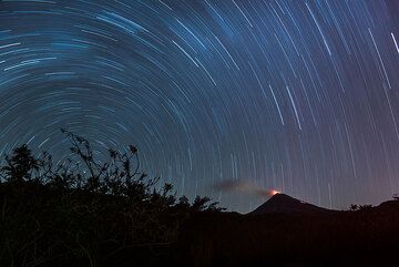
Gran angular de larga exposición con el centro de rotación Polaris a la izquierda y Colima con la cúpula brillante a la derecha. (Photo: Tom Pfeiffer)
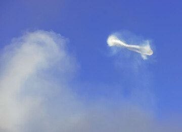
La rotación del vórtice se puede ver en esta imagen en perspectiva lateral de otro anillo de vapor. (Photo: Tom Pfeiffer)
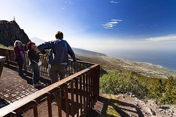
El grupo VolcanoDiscovery observa la zona de un enorme deslizamiento de tierra en la zona de La Orotava. Isla de Tenerife. (Photo: Tobias Schorr)
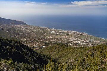
La zona del enorme deslizamiento de tierra de La Orotava en la isla de Tenerife. (Photo: Tobias Schorr)
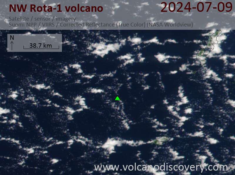
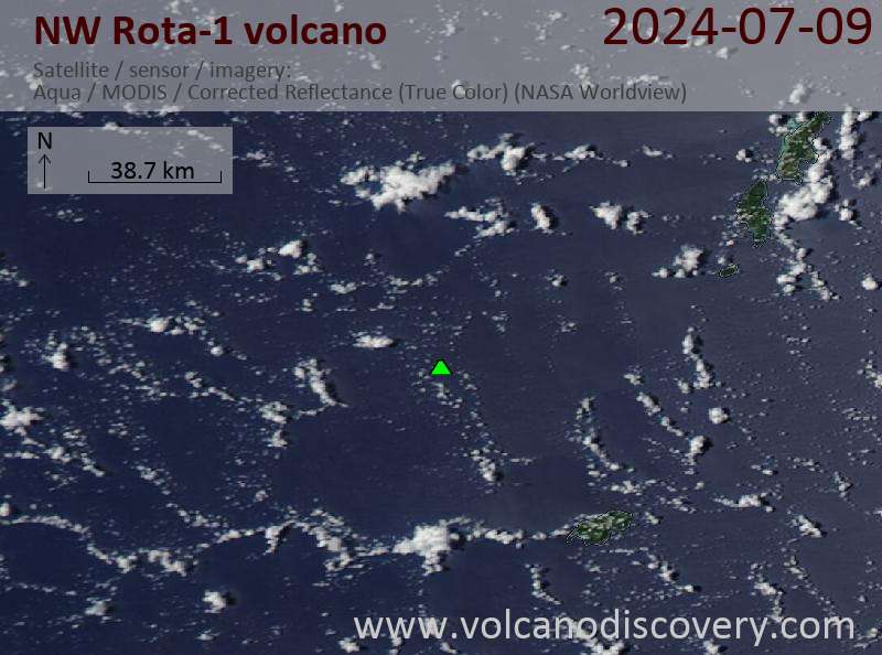
Latest satellite images