Batur Volcano
Updated: 16 avril. 2024 13:50 GMT -
Caldera 1717 m (5,633 ft)
Bali (Indonésie), -8.24°S / 115.38°E
Condition actuelle: normal / en sommeil (1 sur 5)
Bali (Indonésie), -8.24°S / 115.38°E
Condition actuelle: normal / en sommeil (1 sur 5)
Last update: 8 déc. 2021 (Smithsonian / USGS Weekly Volcanic Activity Report)
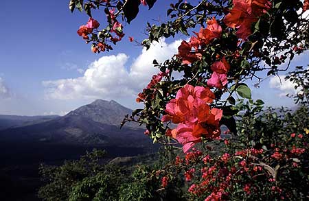
Batur is the most active volcano on the popular tourist island of Bali and one of Inondesia's more active ones. During the past centuries, Batur has had a number of small eruptions every few years. Thanks to the scenic beauty of the caldera with its lake and the cone of Batur, it is one of Bali's most popular destinations.
[smaller] [larger]
Eruptions du volcan Batur: 1804, 1821, 1847(?), 1849, 1854, 1888, 1897, 1904, 1921, 1922, 1924, 1925, 1926, 1963-64, 1965, 1966, 1968, 1970, 1971, 1972, 1973, 1974, 1976(?), 1994, 1998, 1999-2000
Derniers séismes proches
Introduction
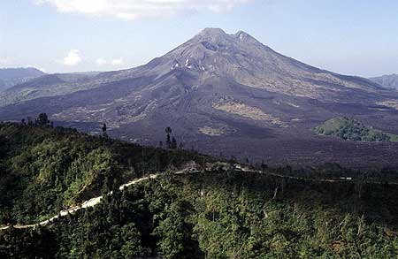
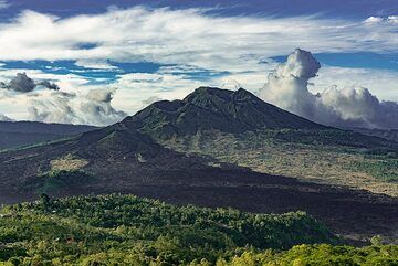
The volcano is located at the center of two concentric calderas NW of Agung volcano. The outer 10 x 13.5 km wide caldera was formed during eruption of the Bali (or Ubud) Ignimbrite about 29,300 years ago and now contains a caldera lake on its SE side, opposite the satellitic cone of 2152-m-high Gunung Abang, the topographic high of the Batur complex.The inner 6.4 x 9.4 km wide caldera was formed about 20,150 years ago during eruption of the Gunungkawi Ignimbrite. The SE wall of the inner caldera lies beneath Lake Batur; Batur cone has been constructed within the inner caldera to a height above the outer caldera rim. The 1717-m-high Batur stratovolcano has produced vents over much of the inner caldera, but a NE-SW fissure system has localized the Batur I, II, and III craters along the summit ridge.
Historical eruptions have been characterized by mild-to-moderate explosive activity sometimes accompanied by lava emission. Basaltic lava flows from both summit and flank vents have reached the caldera floor and the shores of Lake Batur in historical time.
---
Source: GVP, Smithsonian Institution
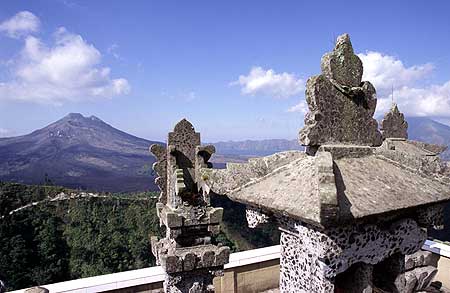
Batur Volcano Photos

Vue du volcan Batur (1 717 m) depuis le sommet de l'Agung (3 142 m) la nuit. (Photo: Anton Jankovoy)
Volcan du Mont Batur à Bali (Photo: Ivana Dorn)
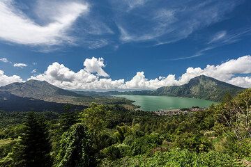
Lac de la caldeira de Batur (Photo: Uwe Ehlers / geoart.eu)
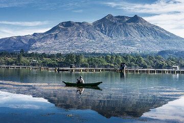
Lac de la caldeira de Batur (Photo: Uwe Ehlers / geoart.eu)
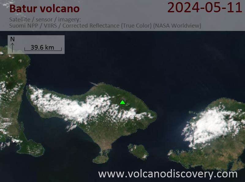
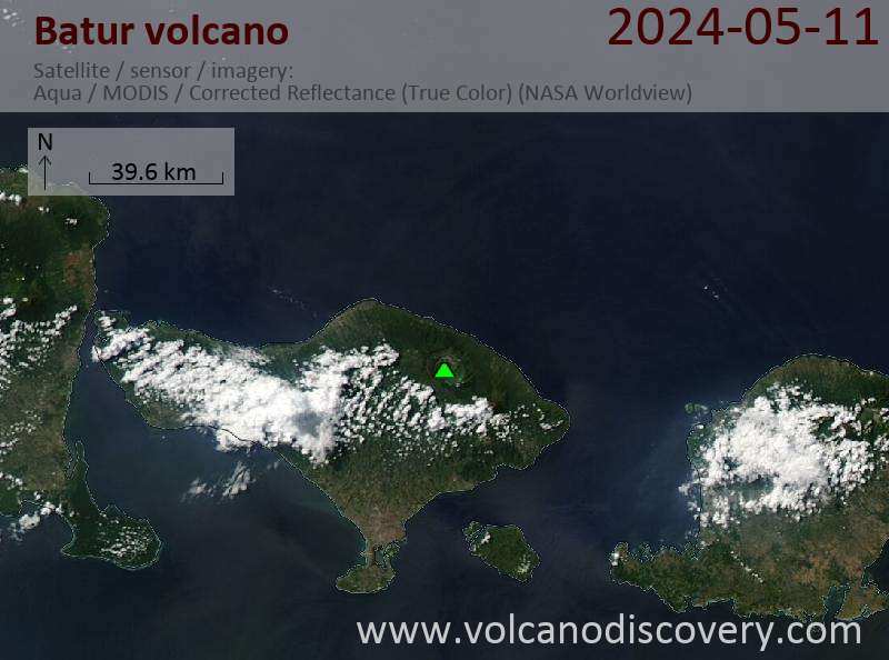
Latest satellite images