Contact | RSS | EN | DE | EL | ES | FR | IT | RU

Danau Volcano

Updated: 25 avril. 2024 05:29 GMT -
caldera 1778 m / 5,600 ft
Java Ouest (Indonésie), -6.2°S / 105.97°E
Condition actuelle: normal / en sommeil (1 sur 5)

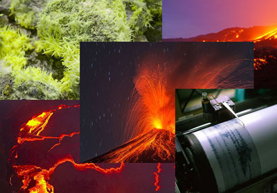
The Danau caldera at the western end of Java Island belongs to the Gunung Karang volcano. It was formed in Pleistocene (+- 2,5 mil. years ago). 10000 years ago two andesitic to basaltic volcanoes erupted and built up a stratovolcano until 1778m altitude (Karang volcano). Some active hydrothermal systems with hot springs are the today´s last sign of activity.

[smaller] [larger]
Style éruptif tipique: Explosive
Eruptions du volcan Danau: None in historic times. Last activities in Holocene.

Derniers séismes proches

No recent earthquakes
HeureMag. / ProfondeurDistance / Lieu

Introduction

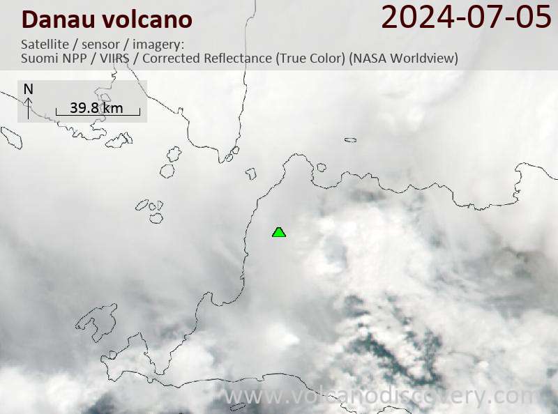
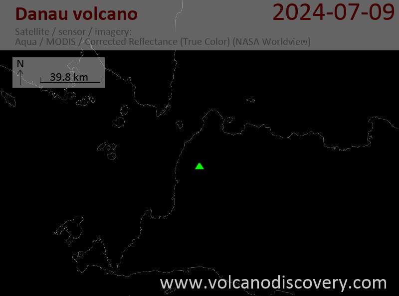
The Danau caldera, that is also called "Karang volcano" was formed in the Pleistocene by huge eruptions of pumice and debris. After the first eruption phases a 15 km wide caldera was formed, when parts of the magmachamber broke into. Later two stratovolcanoes (Pulosari and Karang) of andesitic and basaltic content were built up (probably about 10.000 - 25.000 years ago). Today`s activities are shown by some geothermal fields (at the craters Kawah Welirang and Kawah Hajiwith) hot springs on a NE-SW fault system. The forested area is a national nature resort.

Latest satellite images

Danau satellite image sat1Danau satellite image sat2

No news in this list.

Sur cette page:

Découvrez notre app gratuite !
Volcanoes & Earthquakes - new app for Android
Android | Version iOS

Plus sur VolcanoDiscovery

Why is there advertising on this site?

Support us - Help us upgrade our services!

We truly love working to bring you the latest volcano and earthquake data from around the world. Maintaining our website and our free apps does require, however, considerable time and resources.
We need financing to increase hard- and software capacity as well as support our editor team. We're aiming to achieve uninterrupted service wherever an earthquake or volcano eruption unfolds, and your donations can make it happen! Every donation will be highly appreciated. If you find the information useful and would like to support our team in integrating further features, write great content, and in upgrading our soft- and hardware, please make a donation (PayPal or Online credit card payment).

Planned features:Thanks to your past donations, these features have been added recently:
Download and Upgrade the Volcanoes & Earthquakes app to get one of the fastest seismic and volcano alerts online:
Android | IOS
Thank you!
Copyright: VolcanoDiscovery ou autres sources indiquées.
Utilisation des documents: Les textes, les images et les vidéos de ce site internet sont protégées par copyright. Toute reproduction et tout usage sans accord préalable ne sont pas autorisés. Si vous désirez acquérir pour certains documents (photos, vidéos, textes ou autres) le droit de reproduction, d'édition et, plus généralement, de toute utilisation destinée à un usage public, qu'elle soit commerciale ou pas, vous êtes priés de nous contacter.
Volcanoes & Earthquakes
VolcanoDiscovery Home
Volcans | Séismes | Photos | Actualités | App
Adventure & Study Travel
Tours to Volcanoes and Volcanic Areas: walking tours, photo tours, study tours
Voyages |
Get our newsletter!
Company info
Contact | Mentions légales | Terms & conditions
Follow us
Follow us on facebook Follow us on Instagram Follow us on Twitter Visit our Youtube channel
EN | DE | EL | ES | FR | IT | RU
VolcanoDiscovery GmbH, Germany, Reg. nr.: HRB 103744, EU Tax Id: DE 297 465 123 owned and created by
Dr. Tom Pfeiffer, volcanologist, volcano photographer, tour organizer member of
IAVCEI
IAVCEI
Vulkanologische Gesellschaft
Volcanological Society
Ecotourism Greece
Ecotourism Greece
RUV insurance
Insured by R+V
VolcanoDiscovery © 2004- All Rights Reserved | Privacy - Changer Préférences