Didicas Volcano
Updated: 19 avril. 2024 17:12 GMT -
compound volcano 228 m / 748 ft
Nord de Luzon (Philippines), 19.08°N / 122.2°E
Condition actuelle: normal / en sommeil (1 sur 5)
Nord de Luzon (Philippines), 19.08°N / 122.2°E
Condition actuelle: normal / en sommeil (1 sur 5)
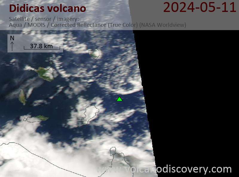
Didicas volcano is a small volcanic island 22 km NE of Camiguin Island, 60 km off the northern coast of Luzon, Philippines.
Until 1952, it was a submarine volcano that had previously formed temporary islands during eruptions. In the eruption of 1952 the submarine volcano formed a new lava dome that surfaced above sea level and has become now a permanent new island.
[smaller] [larger]
Eruptions du volcan Didicas: 1978, 1969, 1952, 1900, 1856-1857, 1773
Derniers séismes proches
| Heure | Mag. / Profondeur | Distance / Lieu | |||
Introduction
Didicas volcano now consists of a small, 244-m-high andesitic lava dome about 1.4 km in its longest diameter.A 400-m-wide crater was formed during the 1952 eruption. The first recorded submarine eruption of Didicas occurred in 1773.
In an eruption in 1860, Didicas also built a new island, the first recorded cone of Didicas breaching the sea surface. It reached a height of 213 m in 1860, when the eruption ended, but it was soon eroded beneath the sea, because it mainly consisted of loose tephra. 3 rock masses up to 82 m high were left after an eruption in 1900. 2 more eruptions occurred since 1952 at an explosion crater on the northern side of the island.
(Source: GVP volcano information)
Eruptions du volcan Didicas
1969 eruption of Didicas
A new 20 m wide crater formed on the N side of the island and was observed for the first time on 27 March 1969 during a reconnaissance flight. The crater measuring was filled with muddy boiling water, the northern half of the island was covered by thick whitish-gray ash and the sea water in front of the crater was discolored.
3 people who were fishing near the coast of Didicas Island drowned when a volcanic tsunami generated by the eruption "swollowed" them.
---
Source: GVP monthly bulletin
1952 eruption: a new island is formed
Didicas was a submarine volcano until 1952, when an eruption formed a new island, that resisted erosion afterwards. It now measures up to 1.4 km in diameter and rises about 250 m above sea level.
A US pilot on a reconnaissance flight who observed the Didicas'eruption compared it to the similar submarine eruption in 1956 between the islands of Oahu and Kauai in Hawaii he and others had observed.


