Contact | RSS | EN | DE | EL | ES | FR | IT | RU

Inielika Volcano

Updated: 23 avril. 2024 21:54 GMT -
complex volcano 1559 m / 5,115 ft
Florès (Indonésie), -8.73°S / 120.98°E
Condition actuelle: en vigilance - niveau agité (2 sur 5)
Last update: 20 mars 2024 (Smithsonian / USGS Weekly Volcanic Activity Report)

Inielika volcano in central Flores is a broad, low volcano constructed within the Lobobutu caldera. It covers an area of 190 sq km. The first historical eruption of Inielika was a phreatic explosion that formed a new crater in 1905.

[smaller] [larger]
Style éruptif tipique: Explosive
Eruptions du volcan Inielika: 2001, 1908, 1905

Derniers séismes proches

No recent earthquakes
HeureMag. / ProfondeurDistance / Lieu

Introduction

The complex summit of 1559-m-high Inielika volcano contains 10 craters, some of which are lake filled, located in a 5-sq-km area north of the city of Bajawa. The largest of these, Wolo Runu and Wolo Lega North, are 750 m wide. A chain of cinder cones, the Bajawa cinder cone complex, extends southward to Ineri volcano.

Eruptions du volcan Inielika


1991 eruption
Inielika volcano erupted between 11-16 January 2001. Numerous explosions, some with thundering sounds audible up to 8 km away produced ash plumes that reached heights of 1 km above the volcano, causing light ash fall in the immediate surroundings up to ca. 10 km distance.
2 new craters were formed by the (phreatic?) explosions, the larger one to the SE 50 m wide and 10 m deep, and a smaller crater to the NW 20 m wide and 1 m deep.

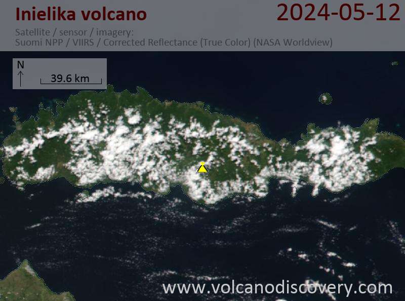
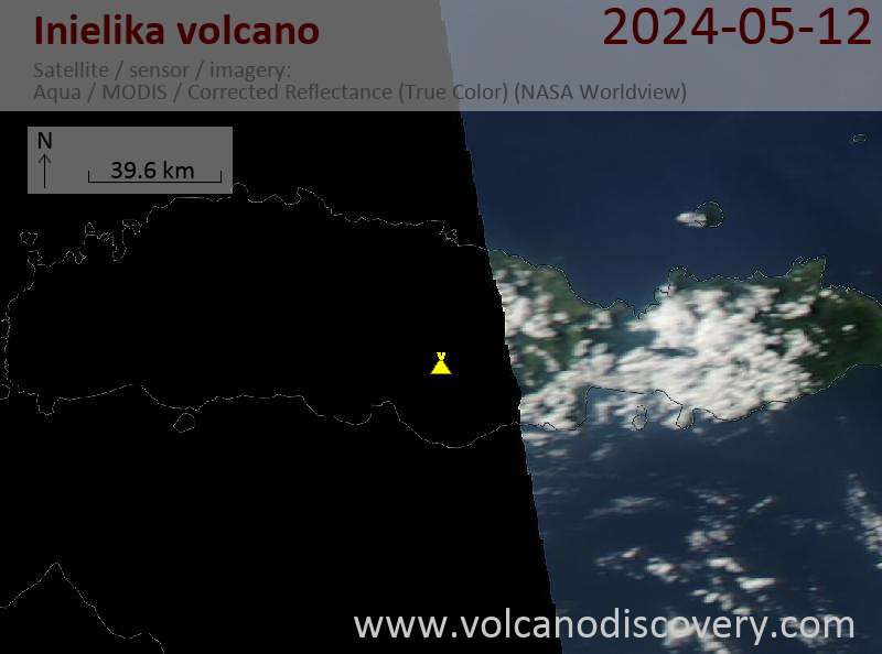
Latest satellite images

Inielika satellite image sat1Inielika satellite image sat2
mer., 20 mars 2024, 15:00

Inielika volcano (Flores Island) - Smithsonian / USGS Weekly Volcanic Activity Report for 13 March-19 March 2024 (Continuing Activity)

PVMBG lowered the Alert Level for Inielika to 1 (on a scale of 1-4) at 1100 on 16 March, noting that unrest had decreased based on visual observations, seismicity, and geochemistry data. The public was warned to stay at least 500 m away from the summit crater and to avoid solfatara zones and hot springs. ... Read all
jeu., 14 mars 2024, 11:00

Inielika volcano (Flores Island) - Smithsonian / USGS Weekly Volcanic Activity Report for 13 March-19 March 2024 (Continuing Activity)

PVMBG lowered the Alert Level for Inielika to 1 (on a scale of 1-4) at 1100 on 16 March, noting that unrest had decreased based on visual observations, seismicity, and geochemistry data. The public was warned to stay at least 500 m away from the summit crater and to avoid solfatara zones and hot springs. ... Read all

Sur cette page:

Découvrez notre app gratuite !
Volcanoes & Earthquakes - new app for Android
Android | Version iOS

Plus sur VolcanoDiscovery

Why is there advertising on this site?

Support us - Help us upgrade our services!

We truly love working to bring you the latest volcano and earthquake data from around the world. Maintaining our website and our free apps does require, however, considerable time and resources.
We need financing to increase hard- and software capacity as well as support our editor team. We're aiming to achieve uninterrupted service wherever an earthquake or volcano eruption unfolds, and your donations can make it happen! Every donation will be highly appreciated. If you find the information useful and would like to support our team in integrating further features, write great content, and in upgrading our soft- and hardware, please make a donation (PayPal or Online credit card payment).

Planned features:Thanks to your past donations, these features have been added recently:
Download and Upgrade the Volcanoes & Earthquakes app to get one of the fastest seismic and volcano alerts online:
Android | IOS
Thank you!
Copyright: VolcanoDiscovery ou autres sources indiquées.
Utilisation des documents: Les textes, les images et les vidéos de ce site internet sont protégées par copyright. Toute reproduction et tout usage sans accord préalable ne sont pas autorisés. Si vous désirez acquérir pour certains documents (photos, vidéos, textes ou autres) le droit de reproduction, d'édition et, plus généralement, de toute utilisation destinée à un usage public, qu'elle soit commerciale ou pas, vous êtes priés de nous contacter.
Volcanoes & Earthquakes
VolcanoDiscovery Home
Volcans | Séismes | Photos | Actualités | App
Adventure & Study Travel
Tours to Volcanoes and Volcanic Areas: walking tours, photo tours, study tours
Voyages |
Get our newsletter!
Company info
Contact | Mentions légales | Terms & conditions
Follow us
Follow us on facebook Follow us on Instagram Follow us on Twitter Visit our Youtube channel
EN | DE | EL | ES | FR | IT | RU
VolcanoDiscovery GmbH, Germany, Reg. nr.: HRB 103744, EU Tax Id: DE 297 465 123 owned and created by
Dr. Tom Pfeiffer, volcanologist, volcano photographer, tour organizer member of
IAVCEI
IAVCEI
Vulkanologische Gesellschaft
Volcanological Society
Ecotourism Greece
Ecotourism Greece
RUV insurance
Insured by R+V
VolcanoDiscovery © 2004- All Rights Reserved | Privacy - Changer Préférences