Papandayan Volcano
Updated: 24 avril. 2024 04:31 GMT -
stratovolcano 2665 m / 8,743 ft.
Java Ouest (Indonésie), -7.32°S / 107.73°E
Condition actuelle: normal / en sommeil (1 sur 5)
Java Ouest (Indonésie), -7.32°S / 107.73°E
Condition actuelle: normal / en sommeil (1 sur 5)
Last update: 9 mars 2023 (Smithsonian / USGS Weekly Volcanic Activity Report)
Papandayan is a complex stratovolcano with four large summit craters, the youngest of which was breached to the NE by collapse during a brief eruption in 1772 and contains active fumarole fields.
[smaller] [larger]
Explosive. At present strong fumarolic activity.
Eruptions du volcan Papandayan: 1772 (moderate eruption followed by a devastating debris avalanche), 1923, 1942, 2002
Derniers séismes proches
| Heure | Mag. / Profondeur | Distance / Lieu | |||
| 12 avril 12:03 (Jakarta) | 2.3 10 km | 12 km au nord-ouest | Info | ||
Introduction
The broad 1.1-km-wide, flat-floored Alun-Alun crater truncates the summit of Papandayan, and Gunung Puntang to the north gives the volcano a twin-peaked appearance. Several episodes of collapse have given the volcano an irregular profile and produced debris avalanches that have impacted lowland areas beyond the volcano. A sulfur-encrusted fumarole field occupies historically active Kawah Mas ("Golden Crater").After its first historical eruption in 1772, in which collapse of the NE flank produced a catastrophic debris avalanche that destroyed 40 villages and killed nearly 3000 persons, only small phreatic eruptions had occurred prior to an explosive eruption that began in November 2002.
(Source: GVP)
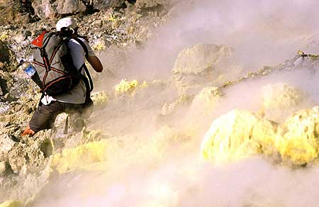
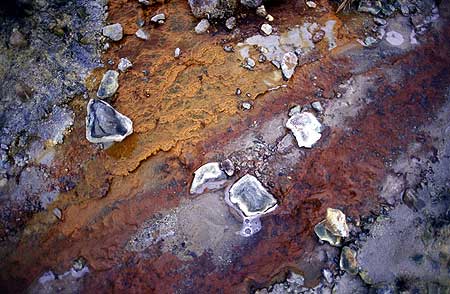
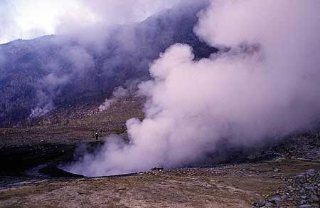
Papandayan Volcano Photos
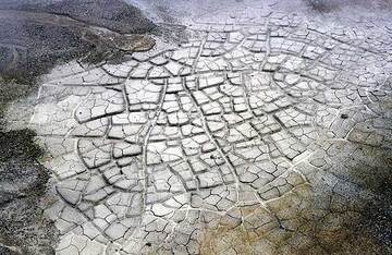
Bassin de boue sèche (Photo: Tom Pfeiffer)
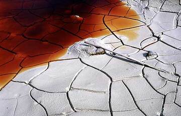
Un étang asséché contenant de l'eau rouge d'apparence désagréable à l'intérieur du cratère du volcan Papandayan. (Photo: Tom Pfeiffer)
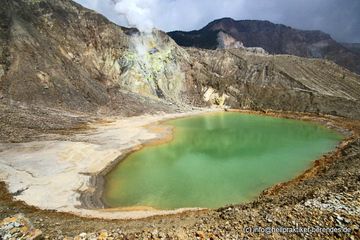
Lac acide vert dans le cratère de Papandayan (Java Ouest) (Photo: Dietmar)
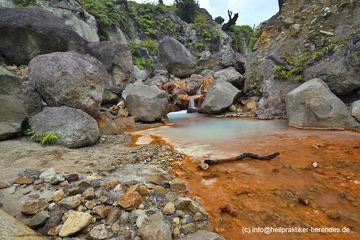
Eaux rouges d'une petite crique du cratère de Papandayan (Photo: Dietmar)
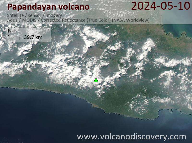
Latest satellite images
Papandayan Volcano Tours
Java (Indonésie)
Du Krakatau à Bali
16-jours d'étude à la découverte des volcans de Java, Indonésie
16 Jours - Facile-Modérée
Prix 3180 €
Prix 3180 €
Départs sur commande possibles
2-17 août 2024
2-17 juin 2024
8-23 juil. 2024
Java (Indonésie)
Les volcans actifs de Java
17 jours de voyage et de trekking sur les volcans actifs de Java
17 jours (16 nuits) - Modérée-Soutenu
Prix 3120 €
Prix 3120 €
3-19 juin 2024
9-25 juil. 2024
3-19 août 2024