Socompa Volcano
Updated: 24 avril. 2024 03:33 GMT -
stratovolcano 6051 m / 19,852 ft
Chile / Argentine (nord) + Bolivie (Amérique du Sud), -24.4°S / -68.25°W
Condition actuelle: normal / en sommeil (1 sur 5)
Chile / Argentine (nord) + Bolivie (Amérique du Sud), -24.4°S / -68.25°W
Condition actuelle: normal / en sommeil (1 sur 5)
Socompa is a massive stratovolcano on the Chile/Argentina border. It is located at the southeastern end of the Atacama Basin and immediately north of the only railway line between Chile and Argentina.
The dacite volcano is known for having the world's largest and best preserved debris avalanche deposit in the world.
No historical eruptions are known from Socompa.
[smaller] [larger]
Eruptions du volcan Socompa: 5250 BC (?)
Derniers séismes proches
| Heure | Mag. / Profondeur | Distance / Lieu | |||
| 23 avril 22:45 (Santiago) | 2.9 181 km | 14 km au nord | Info | ||
| 23 avril 22:35 (Santiago) | 3.4 265 km | 14 km au nord-est | Info | ||
Introduction
Socompa is the youngest and southernmost of a 6000-m-high NE-SW-trending chain of volcanoes including also Pular and Pajonales volcanoes. In contrast to the latter 2 volcanoes, no glacial moraines have been detected on the relatively uneroded Socompa volcano.The Socompa debris avalanche deposit
Collapse of the NW portion of Socompa volcano occurred about 7200 years ago, during an eruption similar to that at Mount St. Helens in 1980. Before the eruption, the mountain had an estimated height of 6300 m. It produced a debris avalanche that flowed down for 40 km to elevations of between 3100-3400 m into the Monturaqui Basin. The deposit covers a total of 600 sq km. Eruptions after the collapse have constructed dacitic lava domes and filled much of the upper portion of the collapse scarp. It is the largest known of its kind debris avalanche deposit on earth.
High altitude photoautotrophic communities at Socompa
Fumarolic activity between 5750-6060 m at Socompa's summit supports the growth of mat-like photoautotrophic communities. They are the world's highest known autotrophic communities and include mosses, liverworts, algae, fungi, and lichens.
Such extremely harsh environments where hydrothermal systems combine with aridity, cold temperatures, high UV radiation and low atmospheric pressure are unique habitats for life on Earth and represent interesting analogs for habitable zones on Mars.
Source: Costello et al (2009) "Fumarole-Supported Islands of Biodiversity within a Hyperarid, High-Elevation Landscape on Socompa Volcano, Puna de Atacama, Andes" APPLIED AND ENVIRONMENTAL MICROBIOLOGY, Feb. 2009, pp 735–747
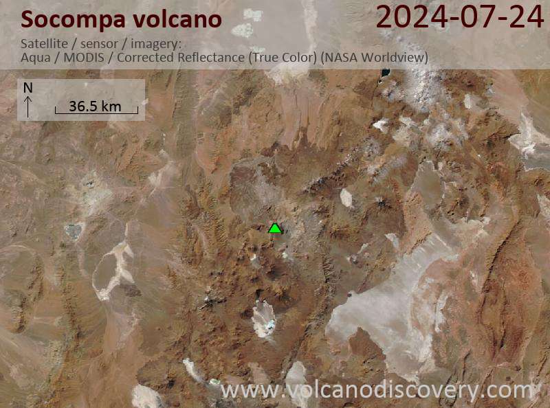
Latest satellite images