Anatahan Volcano
Northern Marianas (USA), 16.35°N / 145.67°E
Current status: normal or dormant (1 out of 5)
Anatahan volcano forms the small 9 x 3.7 E-W elongated Anatahan Island in the northern Marianas, about 120 km north of Saipan, the regional Commonwealth of the Northern Mariana Islands capital.
The volcano is at the southern end of the 1500 km long chain of volcanoes formed by the Izu-Bonin-Mariana subduction-zone volcanic arc.
The island is only a tiny fraction (about 1%) of the volcano's entire volume, which rises 3700 m from the sea floor and has a basal diameter of 35 km. It is topped by a 5x2.3 km wide E-W elongated summit caldera. Its principal crater is a 1.4x1.2 km wide and 200 m deep pit crater in the eastern part of the caldera. The highest point of the island is on the western rim.
The first known volcanic activity occurred in 2003, when the volcano came back to life, and has been in a state of frequent eruptions since then.
Eruzioni del vulcano Anatahan: 2007-08, 2006, 2004-05, 2003
Latest nearby earthquakes
| Data / ora | Mag. / Prof. | Distanza / Ubicazione | |||
Background
The caldera consists of an older western and younger eastern part. Ponded lava flows and pyroclastic deposits fill the floor of the western caldera, whose SW side is cut by a fresh-looking smaller crater.The 2-km-wide eastern portion of the caldera contained a steep-walled inner crater whose floor prior to the 2003 eruption was only 68 m above sea level. A submarine volcano, named NE Anatahan, rises to within 460 m of the sea surface on the NE flank of the volcano, and numerous other submarine vents are found on the NE-to-SE flanks.
Sparseness of vegetation on the most recent lava flows on Anatahan had indicated that they were of Holocene age, but the first historical eruption of Anatahan did not occur until May 2003, when a large explosive eruption took place forming a new crater inside the eastern caldera. (Smithsonian / GVP)
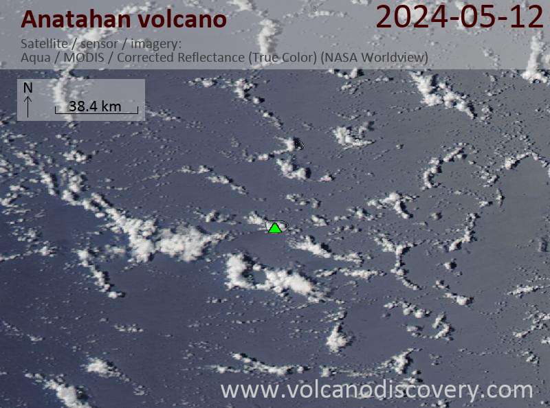
Latest satellite images