Aoga-shima Volcano
Updated: 18 apr. 2024 15:20 GMT -
stratovolcano 423 m / 1,388 ft
Isole Izu (Giappone), 32.45°N / 139.76°E
Current status: normal or dormant (1 out of 5)
Isole Izu (Giappone), 32.45°N / 139.76°E
Current status: normal or dormant (1 out of 5)
Last update: 11 mar 2022
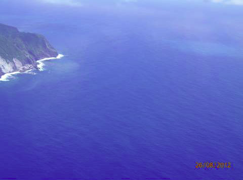
Aoga-shima volcano (青ヶ島, Aogashima) is a stratovolcano forming a beautiful small 2.5 x 3.5 km island with steep cliffs in the Izu island chain, 300 km south of Tokyo.
The dominantly basaltic Aoga-shima volcano contains a complex caldera (Ikenosawa Crater) with a diameter of 1.7 x 1.5 km. 2 cones were built inside the caldera during the volcano's last eruptions in 1781-85.
Activity of Aogashima volcano includes pyroclastic flows and lava flows from both summit and flank vents.
[smaller] [larger]
Eruzioni del vulcano Aoga-shima: 1781-85, 1670-80, 1652, 600 BC ± 200 years, 1100 BC ± 300 years, 1200 BC ± 50 years, 1800 BC ± 100 years
Latest nearby earthquakes
| Data / ora | Mag. / Prof. | Distanza / Ubicazione | |||
Background
The oldest part of Aoga-shima volcano was the Kurosaki stratovolcano in the NW part of the island. The present-day stratovolcano grew later in the SE part of the island. A 1-1.5 km wide crater or caldera formed on the SE flank of the main cone.About 3000 years ago a powerful explosive eruption produced pyroclastic surges that swept over the entire island, and during the activity in the following 600 years, most of the crater on the SE side was filled by lava flows and scoria deposits. Renewed collapse and possibly a debris avalanche re-formed the caldera and created the present-day Ikenosawa Crater, which also was the site of the historic activity.
(Source: Smithsonian / GVP volcano information)
Eruzioni del vulcano Aoga-shima
1781-85 eruption (Tenmei eruption)
Following a year of increased hydrothermal activity since 1780, earthquakes and small ash eruptions occurred on 3 and 4 May 1781. On 10 and 11 April 1783, a strong strombolian-lava fountain eruption started and built a new scoria cone inside the crater. 61 houses were burned and there were 7 fatalities.
Similarly, on 18 April 1785, strong strombolian eruptions resumed and built a second cone in the crater. The eruption caused 130-140 fatalities (although details are not known), while 163 residents escaped to Hachijo-jima Island. The eruption also produced lava flows inside Ikenosawa Crater.
From historic documents, it seems that by 1787 the eruption had ended.
---
Source:
Takada et al (1992) "Geology of Aogashima Volcano, Izu Islands, Japan", Bulletin of the Volcanological Society of Japan 37(5), pp. 233-250
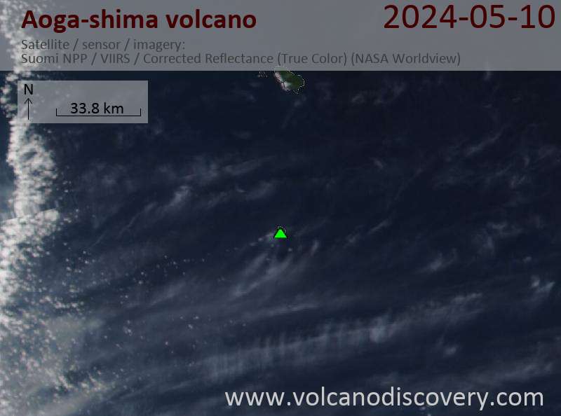
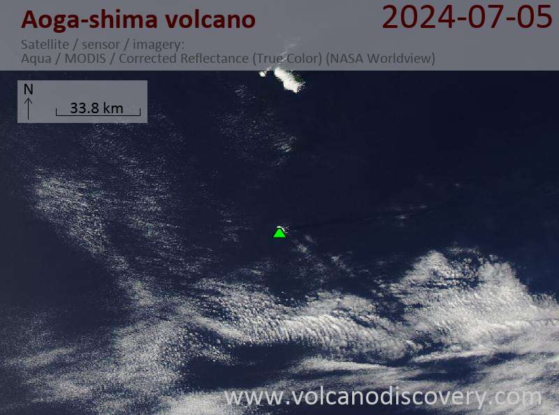
Latest satellite images