Volcano list
Curtis Island
(Submarine volcano 137 m / 449 ft)Giggenbach
(Submarine volcano -65 m / - 213 ft)Havre Seamount
(submarine volcano unknown (around 3,000 ft / 1000 m below surface))Hinetapeka
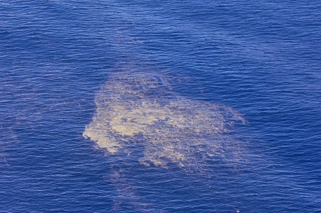
(Submarine -140 m / -459 ft)Monowai
(submarine volcano -132 m / - 433 ft)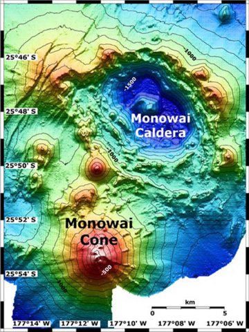
Map view shows Monowai submarine volcano at the lower left, with subsidiary cones on its northern flank. A large submarine caldera lies at the upper right lies to the NE. The contour interval is 100 meters, and the resolution of the bathymetry data is 25 meters. The proprietary bathymetry data were obtained by scientists of the New Zealand National Institute of Water and Atmospheric Research (NIWA) during a 2005 New Zealand/American NOAA Ocean Explorer research expedition to the Kermadec-Tonga arc. Image courtesy of Ian Wright, 2005 (NIWA; http://oceanexplorer.noaa.gov/explorations/05fire)
Raoul Island
(stratovolcano 516 m / 1,693 ft)The anvil shaped 10 x 6 km wide island is the top of a large stratovolcano breaching the sea surface. At its submarine base, the volcano measures 35 x 20 km. The vo... [more info]