Komaga-take Volcano
Updated: Apr 24, 2024 10:17 GMT -
stratovolcano 1131 m / 3,711 ft
Hokkaido (Japan), 42.06°N / 140.68°E
Current status: normal or dormant (1 out of 5)
Hokkaido (Japan), 42.06°N / 140.68°E
Current status: normal or dormant (1 out of 5)
Last update: 8 Dec 2021 (Smithsonian / USGS Weekly Volcanic Activity Report)
Komaga-take volcano (北海道駒ヶ岳) is one of Japan's most active volcanoes. It is located on the Oshima Peninsula of southern Hokkaido. The volcano is known for its violent and explosive, including Plinian eruptions.
[smaller] [larger]
Komaga-take volcano eruptions: 2000, 1998, 1996, 1942, 1937, 1935 (?), 1929 (Plinian), 1928 (?), 1924, 1923, 1922,
1919, 1905, 1888, 1856 (Plinian), 1784, 1765, 1710 (?), 1694 (Plinian), 1640 (Plinian)
radiocarbon-dated: 4350 BC (?), 4500 BC ± 150 years (Plinian), 4600 BC ± 50 years (Plinian)
Latest nearby earthquakes
| Time | Mag. / Depth | Distance / Location | |||
Background
Komaga-take volcano is a truncated stratovolcano with a sharp top rising over a large breached crater, which formed after a catastrophic edifice collapse in 1640 AD. The hummocky debris avalanche deposit can be seen at 3 sides at the base of the volcano.Most of the andesitic Komaga-take volcano is older than 12,000 years.
In the past 20,000 years, there were at least 8 Plinian eruptions: 2 in the late Pleistocene, 2 Holocene eruptions around 6500 years ago, and the 4 historic Plinian eruptions in 1640, 1694, 1856, and 1929.
Synonyms for Komaga-take (Komagatake) are: Hokkaido Komagatake (北海道駒ヶ岳), Oshima Komagatake (渡島駒ヶ岳?), Oshima Fuji (渡島富士?), or just Komagatake (駒ヶ岳).
Eruptions of Komaga-take volcano
2000 eruptions
Small ash eruptions occurred at Komaga-take volcano on 4 and 18 September 2000.
Small ash eruptions occurred at Komaga-take volcano on 4 and 18 September 2000.
1998 eruption
A small phreatic eruption occurred at Komagatake volcano on 25 October 1998, producing an ash cloud rising 1200 m above the crater.
A small phreatic eruption occurred at Komagatake volcano on 25 October 1998, producing an ash cloud rising 1200 m above the crater.
1996 Eruption
Following increased seismic tremor and inflation, a small phreatic eruption from the 1929 crater occurred on 5 March 1996, producing an ash cloud of 300-500 m height. Light ash fall was recorded up to 10 km from the summit.
The total erupted mass of tephra was estimated at about 25,000 tons.
Source: Smithsonian / GVP monthly reports
1929 Plinian eruption
The most recent major magmatic eruption of Komaga-take volcano occurred on 17 June 1929 and continued with minor activity for 7 weeks. It ranks as a Plinian eruption and produced pumice fall and pyroclastic flows. The eruption killed 2 people and caused widespread damage. ...more info
The most recent major magmatic eruption of Komaga-take volcano occurred on 17 June 1929 and continued with minor activity for 7 weeks. It ranks as a Plinian eruption and produced pumice fall and pyroclastic flows. The eruption killed 2 people and caused widespread damage. ...more info
1640 AD Plinian eruption and tsunami
The 1640 eruption was (probably) the largest in Japan's history and started a period of more frequent explosive activity. It deposited ash as far away as central Honshu and produced a debris avalanche that reached the sea. The resulting tsunami caused 700 fatalities.
The 1640 eruption was (probably) the largest in Japan's history and started a period of more frequent explosive activity. It deposited ash as far away as central Honshu and produced a debris avalanche that reached the sea. The resulting tsunami caused 700 fatalities.
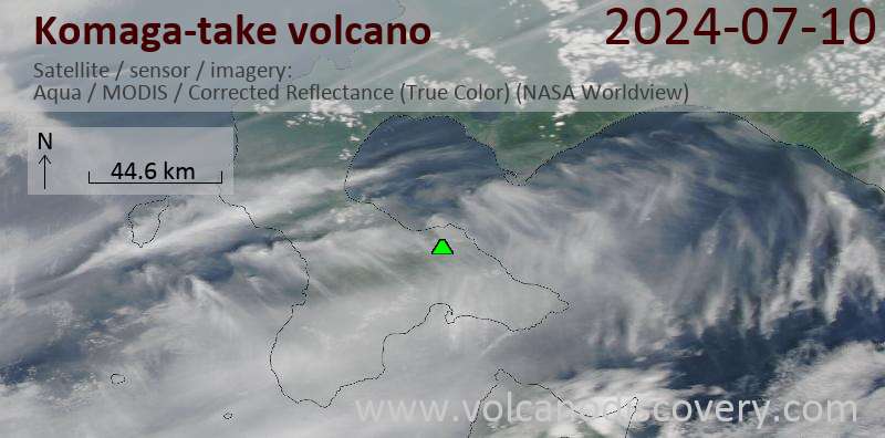
Latest satellite images