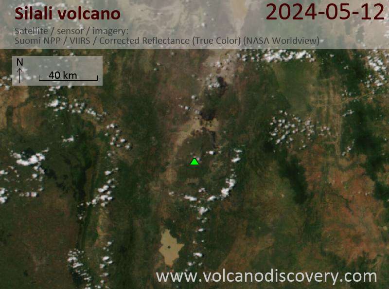
Silali Volcano
Updated: Apr 25, 2024 11:47 GMT -
Shield volcano 1528 m / 5,013 ft
Kenya, 1.15°N / 36.23°E
Current status: normal or dormant (1 out of 5)
Kenya, 1.15°N / 36.23°E
Current status: normal or dormant (1 out of 5)
[smaller] [larger]
Silali volcano eruptions: 5050 BC ± 1000 years
Latest nearby earthquakes
| Time | Mag. / Depth | Distance / Location | |||
Background
The 30-km-wide Silali trachytic shield volcano, the largest Quaternary volcano in the northern Gregory Rift, completely straddles the East African Rift. An impressive 5 x 8 km summit caldera with 300 m deep walls is thought to have formed about 63,000 years ago. Caldera formation is thought to have been incremental, related to eruption of the Kantenmening basaltic and trachytic lava flows. A series of summit-area lava benches formed by eruptions from circumferential fissures has produced a volcano morphologically similar to Galapagos Islands volcanoes. Northern, eastern, and southern flanks are cut by a prominent broad rift zone 10-km wide and 30-km long, dotted with numerous pyroclastic cones. Lava domes on the upper eastern flank formed during the late Pleistocene and early Holocene, until about 7 ka. Youthful parasitic cones abound on the caldera floor and on the northern and NE flanks; the youngest lava flows may be little more than a few hundred years old (Williams et al. 1984). Geothermal activity occurs within the caldera and on the upper eastern flanks.---
Smithsonian / GVP volcano information
Latest satellite images