South Island Volcano
Updated: Apr 19, 2024 20:34 GMT -
Stratovolcano 800 m / 2,625 ft
Kenya, 2.63°N / 36.6°E
Current status: normal or dormant (1 out of 5)
Kenya, 2.63°N / 36.6°E
Current status: normal or dormant (1 out of 5)
[smaller] [larger]
South Island volcano eruptions: 1888
Latest nearby earthquakes
| Time | Mag. / Depth | Distance / Location | |||
Background
The southernmost and largest of the three volcanic islands in Lake Turkana, South Island contains numerous tuff cones. Fresh-looking lava flows, erupted from a N-S fissure extending the 11-km length of the island, form much of the eastern shoreline. South Island (sometimes referred to as Hohnel Island) rises 320 m above the lake to a height of 800 m and is part of a volcanic horst that extends 10 km to the north beneath the lake surface. Early stage tuff cone formation may have been associated with a high stand of Lake Turkana dated at about 10,000 years ago, and later subaerial activity postdates the last high stand of the lake about 3200 years ago. The dominantly basaltic lava flows are morphologically similar to the youthful Holocene flows of The Barrier volcano at the south end of Lake Turkana. An eruption from a scoria cone on South Island was witnessed during Count von Teliki's 1888 expedition.---
Smithsonian / GVP volcano information
South Island Volcano Photos
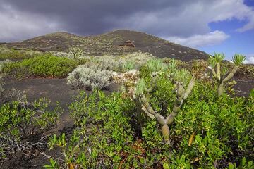
South rift zone landscape, El Hierro Island (Canary Islands) (Photo: Tom Pfeiffer)
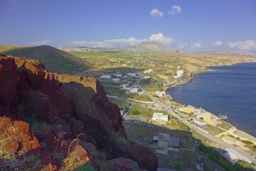
The southern part of Santorini island. Before the Minoan eruption at around 1613 BC, the coastline was much farther inland, and the now fertile ash plain was a rocky plat...

Dry volcanic landscape in the southern part of El Hierro, Canary islands (Photo: Janka)
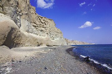
The impressive pumice cliff at the south coast (Santorini Island) (Photo: Tom Pfeiffer)
Latest satellite images