Kuntomintar Volcano
Updated: Apr 24, 2024 00:08 GMT -
Hydrothermal field 828 m / 2,717 ft
Shiashkotan Island (Kuril Islands), 48.75°N / 154.02°E
Current status: (probably) extinct (0 out of 5)
Shiashkotan Island (Kuril Islands), 48.75°N / 154.02°E
Current status: (probably) extinct (0 out of 5)
Kuntomintar is a Pleistocene andesitic stratovolcano on the southern end of Shiashkotan Island in the central Kuriles. It contains a central cone inside a 4-4.5 km wide caldera. There are no recent eruption, but there is fumarolic activity near the east wall of the caldera and a hot spring.
A second caldera is present on the west side and breached to the west. A report of an eruption in 1872 that destroyed an Ainu village was actually from Sinarka volcano.
(Source: Smithsonian / GVP volcano information)
[smaller] [larger]
Kuntomintar volcano eruptions: more than 10,000 years ago
Latest nearby earthquakes
| Time | Mag. / Depth | Distance / Location | |||
Kuntomintar Volcano Photos
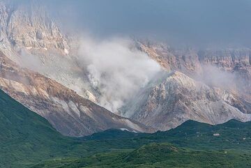
Zoom onto the fumaroles inside Kuntomintar's collapse crater (Photo: Tom Pfeiffer)
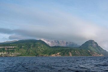
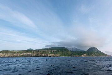
Shiashkotan Island with the caldera of Kuntomintar volcano; fumaroles are visible inside the collapse scar. (Photo: Tom Pfeiffer)
Wide-angle view of Kuntomintar volcano (Photo: Tom Pfeiffer)
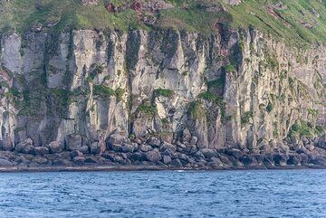
Such ignimbrite layers often look similar to lava flows from a distance, but when visiting the coast, it is clear that these are welded pyroclastic deposits made of pumic...
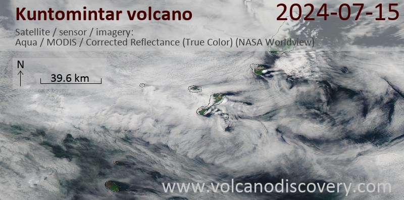
Latest satellite images