Izu-Tobu Volcano
Updated: Apr 20, 2024 00:13 GMT -
pyroclastic cones 1406 m / 4,613 ft
Honshu (Japan), 34.9°N / 139.1°E
Current status: normal or dormant (1 out of 5)
Honshu (Japan), 34.9°N / 139.1°E
Current status: normal or dormant (1 out of 5)
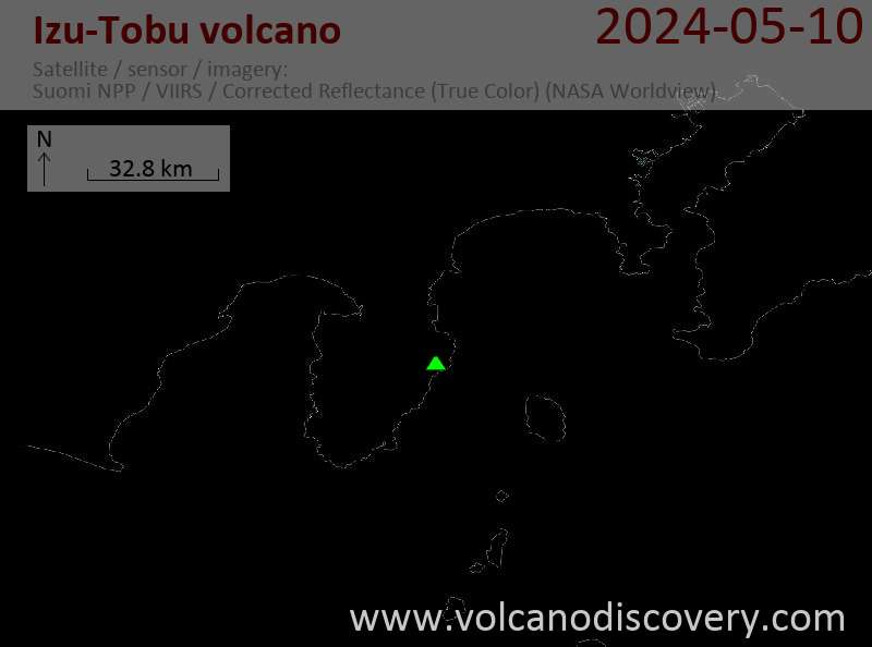
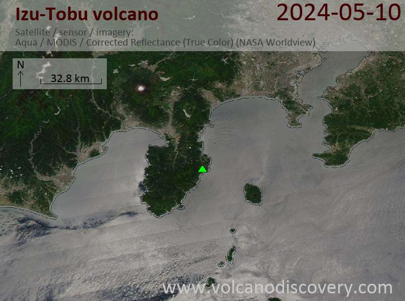
Izu-Tobu volcano is a group of volcanic vents with cinder cones, lava flows, domes and tephra deposits on the NE Izu peninsula 80 km SW of Tokyo.
The Izu-Tobu volcanic group covers an area of 400 sq km and contains many submarine volcanoes offshore of the peninsula. Most of its erupted magmas are basalt, and a smaller volume is andesite.
Ito city is the largest town (ca. 70,000 inhabitants) located in the volcanic field. It is known for its hot springs and resorts.
The latest eruption of Izu-Tobu volcano was in 1989, when a small submarine crater formed NE of Ito City.
[smaller] [larger]
Izu-Tobu volcano eruptions: 1989, 1930 (?), 1150 BC ± 50 years, 2100 BC ± 100 years
Latest nearby earthquakes
| Time | Mag. / Depth | Distance / Location | |||
Background
from Smithsonian / GVP volcano information:The Izu-Tobu volcano group (Higashi-Izu volcano group) is scattered over a broad, plateau-like area of more than 400 sq km on the east side of the Izu Peninsula. Construction of several stratovolcanoes continued throughout much of the Pleistocene and overlapped with growth of smaller monogenetic volcanoes beginning about 300,000 years ago. About 70 subaerial monogenetic volcanoes formed during the last 140,000 years, and chemically similar submarine cones are located offshore. These volcanoes are located on a basement of late-Tertiary volcanic rocks and related sediments and on the flanks of three Quaternary stratovolcanoes: Amagi, Tenshi, and Usami. Some eruptive vents are controlled by NW-SE- or NE-SW-trending fissure systems. Thirteen eruptive episodes have been documented during the past 32,000 years. Kawagodaira maar produced pyroclastic flows during the largest Holocene eruption about 3000 years ago.
Izu-Tobu Volcano Photos
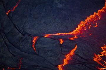
The surface of the lava lake in the evening, when the rift zones are starting to glow red, revealing fresh magma welling up. (Photo: Tom Pfeiffer)
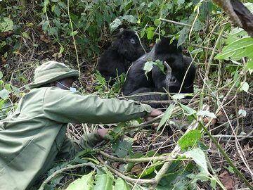
Day 7 - This Virunga National Park ranger has visited this particular family almost every day over the past 2 years and hence knows them well enough to get close by to cl...
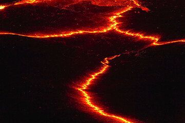
Rifts between plates of the crust of the lava lake (Photo: Tom Pfeiffer)
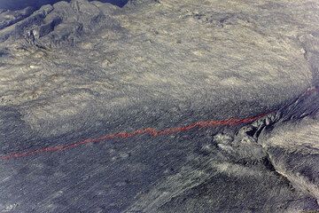
Rift pattern on the lava lake's crust (Photo: Tom Pfeiffer)
Eruptions of Izu-Tobu volcano
1998 earthquake swarm
A total of 10,800 earthquakes off the east coast of Izu Peninsulawere recorded in the interval of 20 April-12 May 1998. Over 200 earthquakes were felt by residents. The earthquakes were probably caused by the intrusion of magma at shallow levels, but no eruption followed.
A total of 10,800 earthquakes off the east coast of Izu Peninsulawere recorded in the interval of 20 April-12 May 1998. Over 200 earthquakes were felt by residents. The earthquakes were probably caused by the intrusion of magma at shallow levels, but no eruption followed.
1997 earthquake swarm
On 3-12 March 1997 an earthquake swarm occurred near Ito City. A total of 9,080 earthquakes were detected, out of which 441 could be felt.
On 3-12 March 1997 an earthquake swarm occurred near Ito City. A total of 9,080 earthquakes were detected, out of which 441 could be felt.
1993 earthquake swarm
Between 28 May and 8 June 1993 a total of 9,500 earthquakes were detected at Izu-Tobu volcano. Hotels in Ito city complained about lost business as nearly 60,000 people canceled their holidays.
Between 28 May and 8 June 1993 a total of 9,500 earthquakes were detected at Izu-Tobu volcano. Hotels in Ito city complained about lost business as nearly 60,000 people canceled their holidays.
1989 eruption
A brief submarine eruption occurred a few kilometers off the coast of the Izu Peninsula on 13 July 1989 following 2 weeks of earthquake swarms. The largest earthquake was 5.5 magnitude, and injured 18 people.
During a submarine explosion, the sea surface domed upwards 500 m (!): "At 1840, the crew of the Takuyo saw the sea surface dome upward about 500 m from the vessel, then a gray-black plume rose from the same area. Five more plumes, ~30 m high and 100 m across, were observed in the next 5 minutes. The ejection of each plume was accompanied by violent shaking and vibration of the ship. No more eruptive activity was reported. Seismographs were again saturated at 1902, and another seismic sequence, of different frequency, was recorded at 1907. Another 15 minutes of volcanic microseismicity began at 2130. No detailed reports were available for the next few days, but strong seismicity stopped after 16 July."
The vent of eruption site was between Ito City and Hatsushima Island at a distance of 10 km.
---
Source: Smithsonian / GVP monthly reports


