Bulusan Volcano
Updated: Apr 19, 2024 11:20 GMT -
Stratovolcano 1565 m / 5,134 ft
Luzon Island, Philippines, 12.77°N / 124.05°E
Current status: restless (2 out of 5)
Luzon Island, Philippines, 12.77°N / 124.05°E
Current status: restless (2 out of 5)
Last update: 31 Jan 2024 (Smithsonian / USGS Weekly Volcanic Activity Report)
Bulusan, one of the most active volcanoes in the Philippines, is Luzon's southernmost volcano. It lies at the SE end of the Bicol volcanic arc occupying the peninsula of the same name that forms the elongated SE tip of Luzon island.
[smaller] [larger]
Bulusan volcano eruptions: 2016, 2015, 2011, Oct 2006-07, Mar-Jun 2006, 1994, 1988, 1983, 1981, 1979, 1978, 1933, 1928, 1918-22, 1916, 1894, 1892, 1889, 1886, 1852(?)
Latest nearby earthquakes
| Time | Mag. / Depth | Distance / Location | |||
Background
Bulusan is a young andesitic volcano built upon the NE rim of an older dacitic-to-rhyolitic caldera, the 11-km wide Irosin caldera, which was formed about 35,000-40,000 years ago.Bulusan is flanked by several other large intracaldera lava domes and cones, including the prominent Mount Jormajan lava dome on the SW flank and Sharp Peak to the NE. The summit of 1565-m-high Bulusan volcano is unvegetated and contains a 300-m-wide, 50-m-deep crater. Three small craters are located on the SE flank.
Many moderate explosive eruptions have been recorded at Bulusan since the mid-19th century.
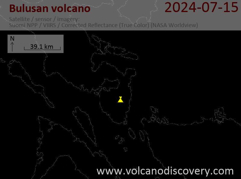
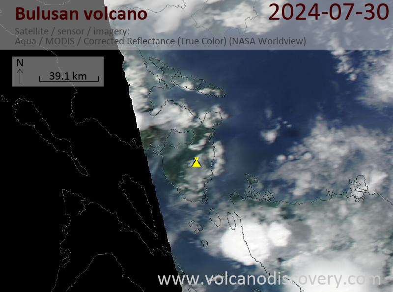
Latest satellite images