


Brothers Volcano
Updated: Nov 2, 2025 23:25 GMT -
Submarine volcano
New Zealand, -34.88°S / 179.08°E 
Summit height: -1350 m / - 4,429 ft
Current status: normal or dormant (1 out of 5)
[smaller] [larger]
Brothers volcano eruptions: unknown, no recent eruptions
Latest nearby earthquakes
Background
The submarine Brothers volcano, located NE of the Healy submarine volcano, contains an oval-shaped summit caldera 3-3.5 km wide. The volcano is elongated in a NW-SE direction, and the high point of the dominantly dacitic volcano lies on the NW caldera rim at about 1350 m below the sea surface. The caldera floor is at about 1850 m depth, and a post-caldera lava dome was constructed on the southern caldera floor and partially merges with the southern caldera wall. Brothers volcano displays major submarine hydrothermal activity, including a large field of "black smoker" vents on the NW caldera wall and vents on the post-caldera dome.---
Smithsonian / GVP volcano information
Brothers Volcano Photos

The "3 brothers", eroded sea pillars near the exit of the bay to the open Pacific. (Photo: Tom Pfeiffer)

Famous brothers, Klyuchevskoy and Kamen. (Photo: Tom Pfeiffer)

The "Three Brothers" in the entrance to Avacha Bay (Photo: Tom Pfeiffer)

DAY 8:From Erta Ale to Amadelah - two brothers who wanted to have their picture taken in a Afar/Tigray town (Photo: Ingrid)
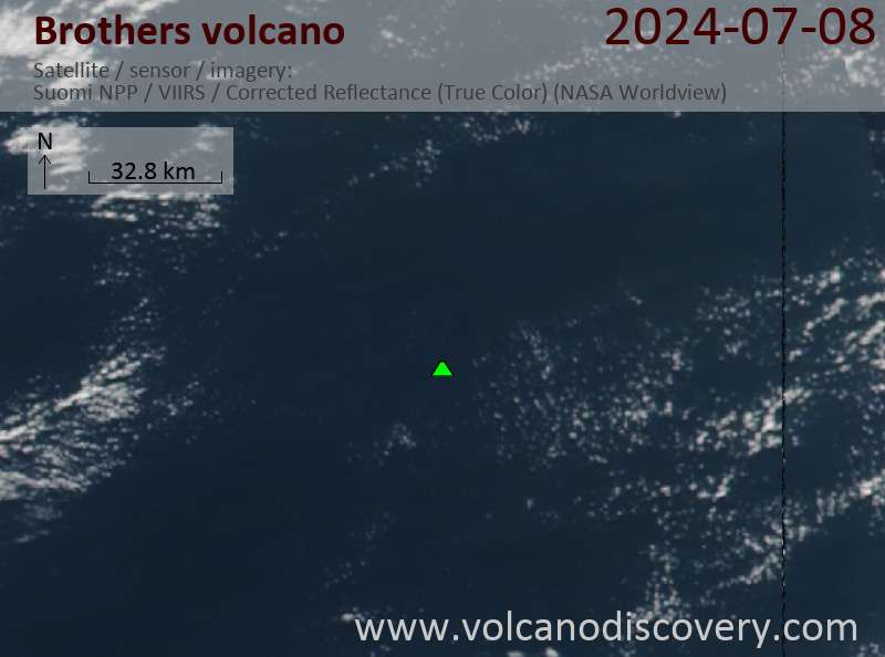
Latest satellite images
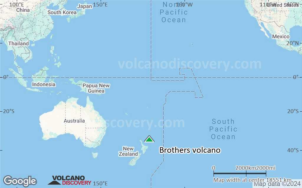
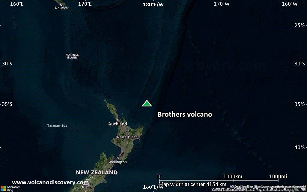
Brothers Volcano Maps
Below is a selection of maps showing the location and surroundings of the volcano at various resolutions based on aerial-imagery / terrain maps. Feel free to use them for non-commercial purposes on your blog or website as long as you credit them with a link back to this page (click to copy it).

Satellite/aerial-type map of Brothers volcano (world scale)
Terrain-type map of Brothers volcano (world scale)
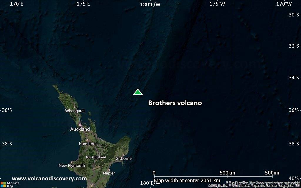
Satellite/aerial-type map of Brothers volcano (region scale large)

Terrain-type map of Brothers volcano (region scale large)
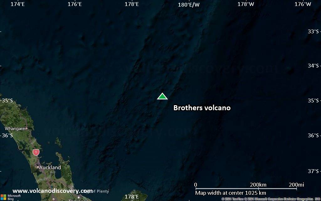
Satellite/aerial-type map of Brothers volcano (region scale medium)

Terrain-type map of Brothers volcano (region scale medium)
Satellite/aerial-type map of Brothers volcano (region scale small)

Terrain-type map of Brothers volcano (region scale small)

Satellite/aerial-type map of Brothers volcano (local scale large)

Terrain-type map of Brothers volcano (local scale large)

Satellite/aerial-type map of Brothers volcano (local scale medium)

Terrain-type map of Brothers volcano (local scale medium)

Satellite/aerial-type map of Brothers volcano (local scale small)

Terrain-type map of Brothers volcano (local scale small)

Satellite/aerial-type map of Brothers volcano (scale of 10s of km)

Terrain-type map of Brothers volcano (scale of 10s of km)

Satellite/aerial-type map of Brothers volcano (scale of 20-40 km)

Terrain-type map of Brothers volcano (scale of 20-40 km)

Satellite/aerial-type map of Brothers volcano (scale of approx. 10-20 km)

Terrain-type map of Brothers volcano (scale of approx. 10-20 km)

Satellite/aerial-type map of Brothers volcano (scale of 5-10 km)

Satellite/aerial-type map of Brothers volcano (scale of few kilometers)


