Bukit Lumut Volcano
Updated: Apr 24, 2024 12:35 GMT -
Stratovolcano 1738 m / 5702 ft
Sumatra, Indonesia, -3.22°S / 102.21°E
Current status: (probably) extinct (0 out of 5)
Sumatra, Indonesia, -3.22°S / 102.21°E
Current status: (probably) extinct (0 out of 5)
[smaller] [larger]
Bukit Lumut volcano eruptions: None during the past 10,000 years
Less than few million years ago (Pleistocene)
Latest nearby earthquakes
| Time | Mag. / Depth | Distance / Location | |||
Background
Located in south-central Sumatra overlooking the Semalako Plain, Bukit Lumut has a 2.1-km-diameter crater open to the north. It was mapped by Budiardjo et al. (2001) as the Pleistocene 0.893 Ma Lumut Andesite. Two small hills within that unit, one of which is name Bukit Pabus, consist of the slightly older Pabus Tuff (0.895 Ma). The Hululais volcano and geothermal are lies immediately to the SE.---
Source: Smithsonian / GVP volcano information
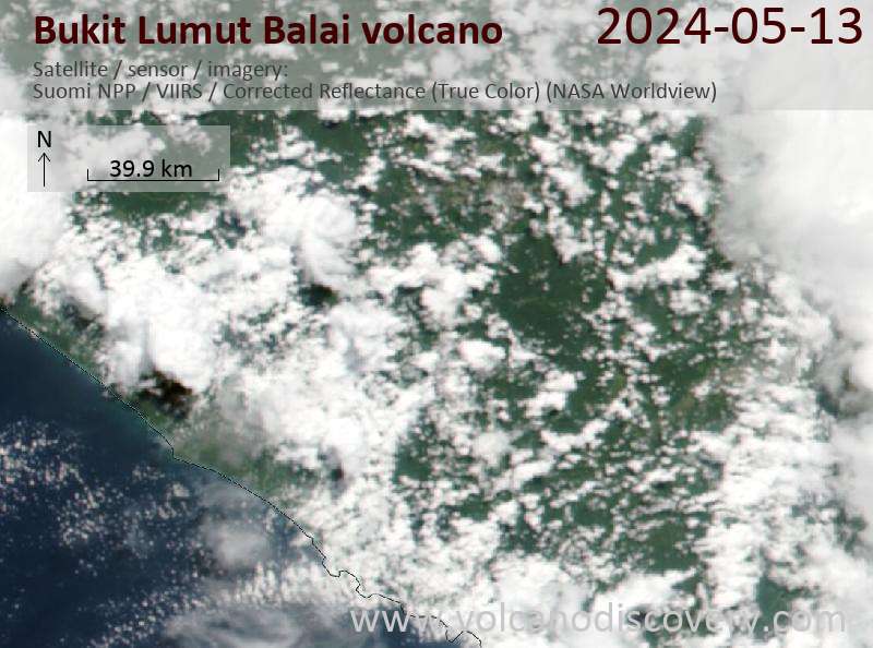
Latest satellite images