Doro Maria Volcano
Updated: 24. Apr. 2024 09:04 GMT -
Unknown 1423 m / 4669 ft
Indonesia, -8.48°S / 118.92°E
Aktueller Status: (wahrscheinlich) erloschen (0 von 5)
Indonesia, -8.48°S / 118.92°E
Aktueller Status: (wahrscheinlich) erloschen (0 von 5)
[smaller] [larger]
Ausbrüche des Doro Maria: None during the past 10,000 years
Less than few million years ago (Pleistocene)
Letzte Erdbeben in der Nähe
| Uhrzeit | Mag. / Tiefe | Entfernung / Ort | |||
| 11. Apr. 03:23 (Makassar) | 2.2 40 km | 14 km nördlich | Info | ||
Beschreibung
Doro Maria is a large eroded stratovolcano at the NE end of Sumbawa Island of Quaternary age (Ratman and Yasin 1978). It was mapped by Garvin (2002, shown in Khant et al., 2013) as early Pleistocene, and includes the peaks named Doro Kuta and Doro Kota.---
Source: Smithsonian / GVP volcano information
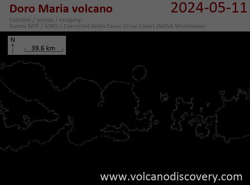
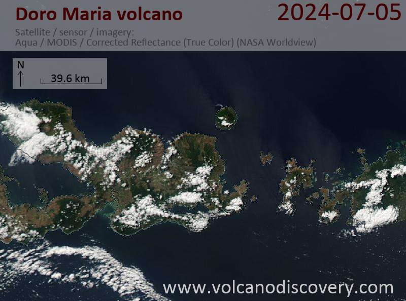
Latest satellite images