Kontakt | RSS | EN | DE | EL | ES | FR | IT | RU

Hainan Volcano

Updated: 14. Jan. 2025 12:05 GMT -
volcanic field, pyroclastic cones 196 m / 643 ft
Hainan Island, SE China, 19.7°N / 110.1°E
Aktueller Status: normal / ruhend (1 von 5)

The Hainan volcanic field (also known as Khaynanj or Hainan Dao) comprises vast geologically young lava flows and numerous cinder cones on the northern part of Hainan Island in SE China.
Small fissure eruptions were recorded in 1883 from the Lingao cone and in 1933 from the Nansheling ridge.

[smaller] [larger]
Typische Aktivität: effusive
Ausbrüche des Hainan: 1933, 1883

Letzte Erdbeben in der Nähe

No recent earthquakes
TimeMag. / DepthDistance / Location

Beschreibung

The Hainan volcanic field contains Quaternary lava flows that extend over about 4100 km2 on northern Hainan Island (also known as Qiong). This field, along with the Leizhou Bandao volcanic field across the Qiongzhou strait to the north on the Leizhou (Liuchow) Peninsula, forms the larger Leiqiong volcanic field (also called the Qionglei volcano group).
It contains a group of 58 Pleistocene-Holocene tholeiitic cones that are part of the Qionglei volcano group, also known as the Leiqiong volcanic field. Hainan volcanic field covers about 4100 sq km of the northern part of Hainan Island (also known as Qiong), across the Qiongzhou strait south of the Leizhou (Liuchow) Peninsula. Hainan volcano field is of Pleistocene-Holocene age, but historical eruptions were reported in the Lingao and Chengmai areas in the 19th and 20th centuries.
Leihuling and Maanshan, two of the best preserved volcanic cones, are oriented along an E-W fracture and are part of a cluster of about 30 cones in the Shishan and Yongzing regions.
Source: Smithsonian / GVP volcano information

Significant volcanic eruptions: Hainan volcano

DatumHinweisVEITodesopferSchaden
1933 Jun 26 ±4 d. - Jul 8 or laterNansheling ridge?
unbekannt
1883Lingao?
unbekannt
Sources: NOAA National Centers for Environmental Information (NCEI), Global Significant Volcanic Eruptions Database. doi:10.7289/V5TD9V7K | Global Volcanism Project / Smithsonian Institution

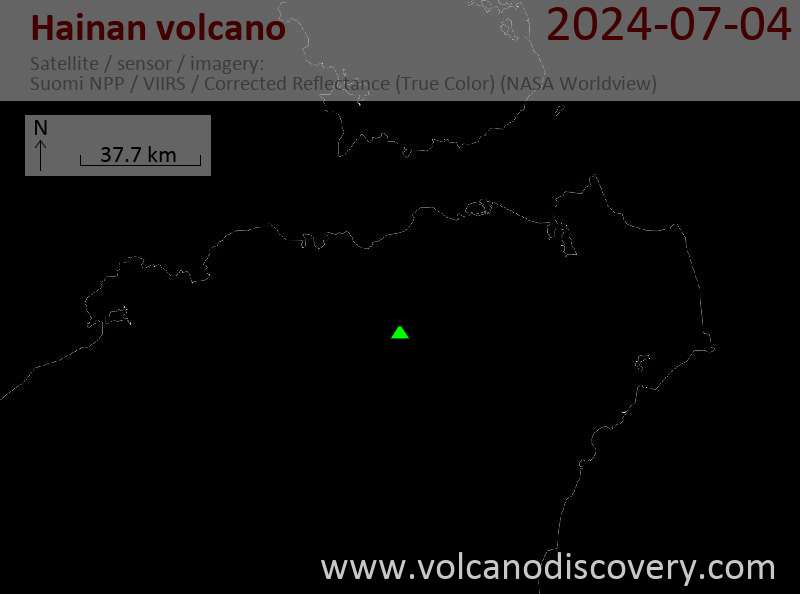
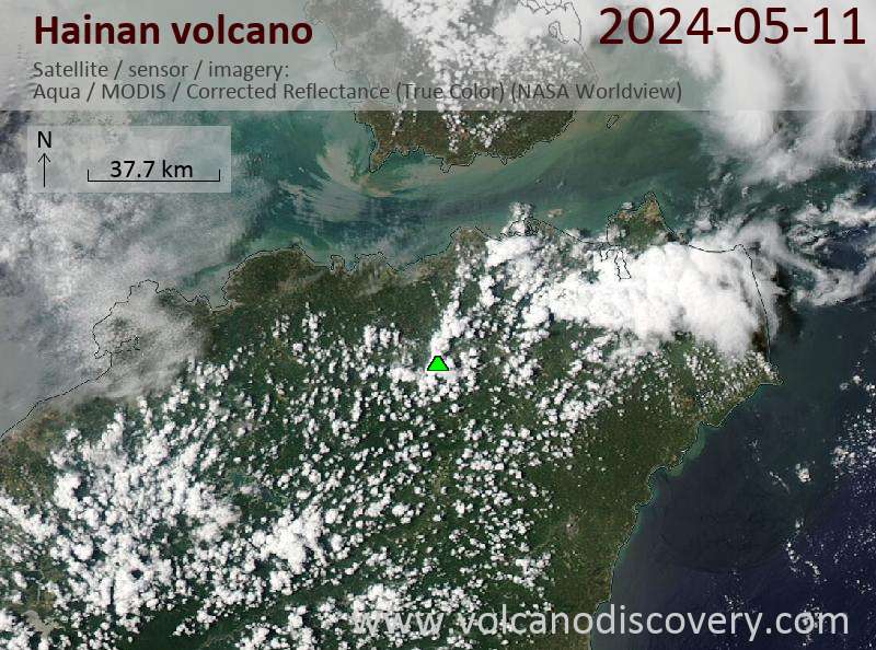
Latest satellite images

Hainan satellite image sat1Hainan satellite image sat2

Hainan Volcano Maps

Below is a selection of maps showing the location and surroundings of the volcano at various resolutions based on aerial-imagery / terrain maps. Feel free to use them for non-commercial purposes on your blog or website as long as you credit them with a link back to this page (click to copy it).
Satellite/aerial-type map of Hainan volcano (world scale)
Terrain-type map of Hainan volcano (world scale)
Satellite/aerial-type map of Hainan volcano (region scale large)
Terrain-type map of Hainan volcano (region scale large)
Satellite/aerial-type map of Hainan volcano (region scale medium)
Terrain-type map of Hainan volcano (region scale medium)
Satellite/aerial-type map of Hainan volcano (region scale small)
Terrain-type map of Hainan volcano (region scale small)
Satellite/aerial-type map of Hainan volcano (local scale large)
Terrain-type map of Hainan volcano (local scale large)
Satellite/aerial-type map of Hainan volcano (local scale medium)
Terrain-type map of Hainan volcano (local scale medium)
Satellite/aerial-type map of Hainan volcano (local scale small)
Terrain-type map of Hainan volcano (local scale small)
Satellite/aerial-type map of Hainan volcano (scale of 10s of km)
Terrain-type map of Hainan volcano (scale of 10s of km)
Satellite/aerial-type map of Hainan volcano (scale of 20-40 km)
Terrain-type map of Hainan volcano (scale of 20-40 km)
Satellite/aerial-type map of Hainan volcano (scale of approx. 10-20 km)
Terrain-type map of Hainan volcano (scale of approx. 10-20 km)
Satellite/aerial-type map of Hainan volcano (scale of 5-10 km)
Satellite/aerial-type map of Hainan volcano (scale of few kilometers)
Volcanoes & Earthquakes - new app for Android
Garantierte Reisen
2.-15. Feb 2025: Wüste, Salz und Vulkane - Danakilwüste (Äthiopien)
6.-19. Apr 2025: Wüste, Salz und Vulkane - Danakilwüste (Äthiopien)
12.-19. Apr 2025: Europe's Volcanic Outpost - Canary Islands
3.-11. Mai 2025: Feuerberge Siziliens - vom Stromboli zum Ätna - Äolische Inseln + Ätna
9.-25. Jun 2025: Volcanoes and Spices - N-Sulawesi + Halmahera (Indonesien)
3.-17. Okt 2025: Italiens Vulkane - Vom Vesuv zum Ätna - Süditalien
4.-12. Okt 2025: Feuerberge Siziliens - vom Stromboli zum Ätna - Äolische Inseln + Ätna
6.-21. Okt 2025: Von Krakatau bis Bali - Java (Indonesien)
3.-19. Nov 2025: Volcanoes and Spices - N-Sulawesi + Halmahera (Indonesien)
= Plätze frei   = garantiert   = Wenig freie Plätze   = Ausgebucht
News

No news in this list.

Auf dieser Seite:

Warum gibt es Werbung auf dieser Seite?
Sources: VolcanoDiscovery / VolcanoAdventures and other sources as noted.
Use of material: Most text and images on our websites are owned by us. Re-use is generally not permitted without authorization. Contact us for licensing rights.
Volcanoes & Earthquakes
VolcanoDiscovery Home
Vulkane | Erdbeben | Fotos | News | App
Adventure & Study Travel
Reisen zu Vulkanen und Vulkangebieten: Wanderreisen, Studienreisen, Fotoreisen
Tours & Dates | FAQ | About us
Get our newsletter!
Company info
Kontakt | Impressum | AGB
Follow us
Follow us on facebook Follow us on Instagram Follow us on Bluesky Follow us on Twitter Visit our Youtube channel
EN | DE | EL | ES | FR | IT | RU
VolcanoDiscovery GmbH, Germany, Reg. nr.: HRB 103744, EU Tax Id: DE 297 465 123 owned and created by
Dr. Tom Pfeiffer, volcanologist, volcano photographer, tour organizer member of
IAVCEI
IAVCEI
Vulkanologische Gesellschaft
Volcanological Society
Ecotourism Greece
Ecotourism Greece
RUV insurance
Insured by R+V
VolcanoDiscovery © 2004- All Rights Reserved | Datenschutz - Cookie Einstellungen
Cookie-free, privacy-friendly web stats