Huambo Volcano
Updated: 19. Apr. 2024 07:14 GMT -
volcanic field 4550? m / 14,928 ft
Peru, -15.83°S / -72.13°W
Aktueller Status: normal / ruhend (1 von 5)
Peru, -15.83°S / -72.13°W
Aktueller Status: normal / ruhend (1 von 5)
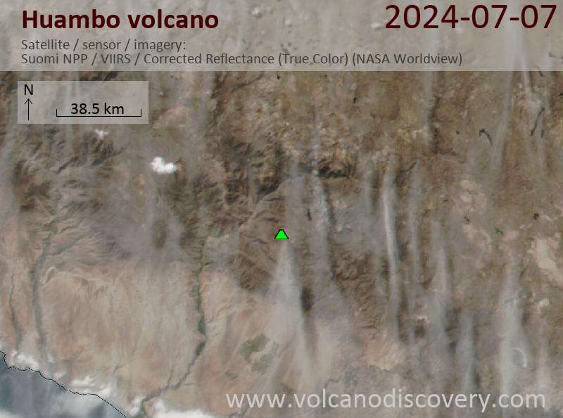
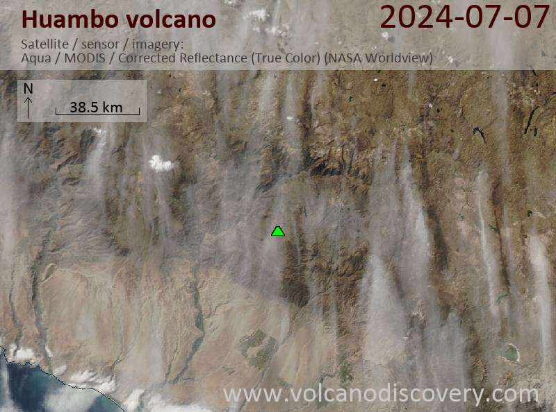
Huambo is a monogenetic volcanic field in southern Peru, SSE of the Andahua-Orcocampo volcanic field and west of Sabancaya volcano.
The Huambo field is divided into 2 segments. The southern part contains several cinder cones and associated lava flows, some of which might be less than 10,000 years old, judging from their fresh morphology.
The northern part of the field consists of a single vent, the Cerro Keyocc cinder cone, which produced an extensive lava field that covered the plateau to the west during an eruption at about 2650 years ago.
[smaller] [larger]
Ausbrüche des Huambo: 700 BC ± 50 years (radiocarbon dated)
Letzte Erdbeben in der Nähe
| Uhrzeit | Mag. / Tiefe | Entfernung / Ort | |||
Latest satellite images