Kaguyak Volcano
Updated: 20. Apr. 2024 06:16 GMT -
Lava domes 901 m / 2,956 ft
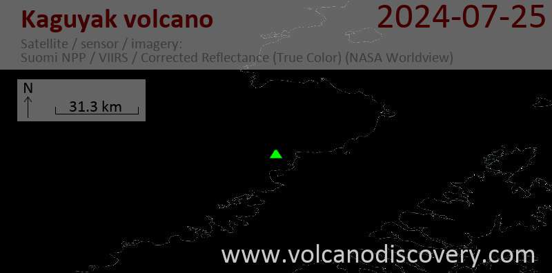
United States, Alaska Peninsula, 58.61°N / -154.03°W
Aktueller Status: normal / ruhend (1 von 5)
United States, Alaska Peninsula, 58.61°N / -154.03°W
Aktueller Status: normal / ruhend (1 von 5)
[smaller] [larger]
Ausbrüche des Kaguyak: 3850 BC (?)
Letzte Erdbeben in der Nähe
| Uhrzeit | Mag. / Tiefe | Entfernung / Ort | |||
| 16. Apr. 04:20 (Anchorage) | 1.7 95 km | 9.9 km östlich | Info | ||
| Sonntag, 14. April 2024 GMT (1 Beben) | |||||
| 14. Apr. 13:18 (Anchorage) | 1.7 89 km | 12 km südöstlich | Info | ||
| Donnerstag, 11. April 2024 GMT (1 Beben) | |||||
| 11. Apr. 11:45 (Weltzeit) | 0.0 1.5 km | 18 km westlich | Info | ||
Beschreibung
The small, but spectacular 2.5-km-wide Kaguyak caldera in the NE part of Katmai National Park is filled by a >180-m-deep lake whose surface lies more than 550 m below the caldera rim. Kaguyak volcano is only 901 m high, but rises directly from lowland areas near sea level south of the Big River. Initially considered to be a typical stratovolcano truncated by a caldera, the pre-caldera edifice has been shown to consist of nine continuguous late-Pleistocene lava dome clusters, most of which lie east of the present caldera. A large post-caldera lava dome extends into the lake on the SW side and another dome forms a small island in the center of the lake. The youthful caldera is unglaciated, and distal tephras from the caldera-forming eruption have been radiocarbon dated at about 5800 years before present. Voluminous dacitic pyroclastic-flow deposits surround the caldera and reached Shelikof Strait to the SE.---
Smithsonian / GVP volcano information
Latest satellite images