Mahagnao Volcano
Updated: 19. Apr. 2024 07:31 GMT -
stratovolcano 860 m / 2,821 ft
Zentral-Philippinen (Philippinen), 10.9°N / 124.87°E
Aktueller Status: normal / ruhend (1 von 5)
Zentral-Philippinen (Philippinen), 10.9°N / 124.87°E
Aktueller Status: normal / ruhend (1 von 5)
Mahagnao volcano (also known as Kasiboi or Casiboi) is a forested andesitic stratovolcano in central Leyte Island, Philippines.
The volcano contains a steep-walled forested summit crater open to the south. Malagsom and Danao are 2 lakes located on the south flank. Malagsom Lake is an acidic crater lake with green color. Danao Lake is a freshwater lake with an irregular shoreline and hot springs on its southern side.
[smaller] [larger]
Ausbrüche des Mahagnao : 1895 (uncertain)
Letzte Erdbeben in der Nähe
| Uhrzeit | Mag. / Tiefe | Entfernung / Ort | |||
| 9. Apr. 05:55 (Manila) | 2.1 4 km | 12 km südlich | Info | ||
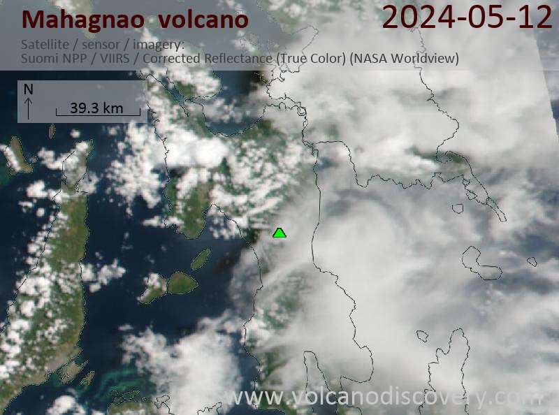
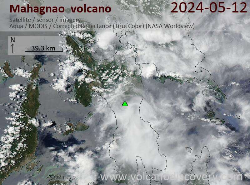
Latest satellite images