Martin Volcano
Updated: 19. Apr. 2024 00:19 GMT -
Stratovolcano 1863 m / 6,112 ft
Alaska Peninsula, USA, 58.17°N / -155.36°W
Aktueller Status: normal / ruhend (1 von 5)
Alaska Peninsula, USA, 58.17°N / -155.36°W
Aktueller Status: normal / ruhend (1 von 5)
Last update: 13 Dez 2021 (Smithsonian / USGS Weekly Volcanic Activity Report)
[smaller] [larger]
Ausbrüche des Martin: 1953
Letzte Erdbeben in der Nähe
| Uhrzeit | Mag. / Tiefe | Entfernung / Ort | |||
| 18. Apr. 13:04 (Anchorage) | 1.1 1.1 km | 14 km nordöstlich | Info | ||
| Mittwoch, 10. April 2024 GMT (2 Beben) | |||||
| 10. Apr. 11:02 (Anchorage) | 2.0 32 km | 29 km südwestlich | Info | ||
| 10. Apr. 04:20 (Anchorage) | 1.7 1.1 km | 23 km nordöstlich | Info | ||
| Dienstag, 9. April 2024 GMT (1 Beben) | |||||
| 9. Apr. 04:25 (Anchorage) | 2.4 0 km | 25 km nordöstlich | Info | ||
| Mittwoch, 17. April 2024 GMT (1 Beben) | |||||
| 17. Apr. 01:18 (Anchorage) | 1.0 5.5 km | 13 km nordöstlich | Info | ||
| Freitag, 5. April 2024 GMT (1 Beben) | |||||
| 5. Apr. 05:29 (Anchorage) | 0.8 0.7 km | 16 km nordwestlich | Info | ||
Beschreibung
The mostly ice-covered Mount Martin stratovolcano lies at the SW end of the Katmai volcano cluster in Katmai National Park. The volcano was named for George C. Martin, the first person to visit and describe the Katmai area after the 1912 eruption. Mount Martin is capped by a 300-m-wide summit crater, which is ice-free because of an almost-constant steam plume and contains a shallow acidic lake. The edifice of Martin volcano overlies glaciated lava flows of the adjacent mid- to late-Pleistocene Alagoshak volcano on the WSW and was constructed entirely during the Holocene. Mount Martin consists of a small fragmental cone that was the source of ten thick overlapping blocky dacitic lava flows, largely uneroded by glaciers, that descend 10 km to the NW, cover 31 sq km, and form about 95% of the eruptive volume of the volcano. Two reports of historical eruptions that originated from uncertain sources were attributed by Muller et al. (1954) to Martin.---
Smithsonian / GVP volcano information
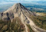
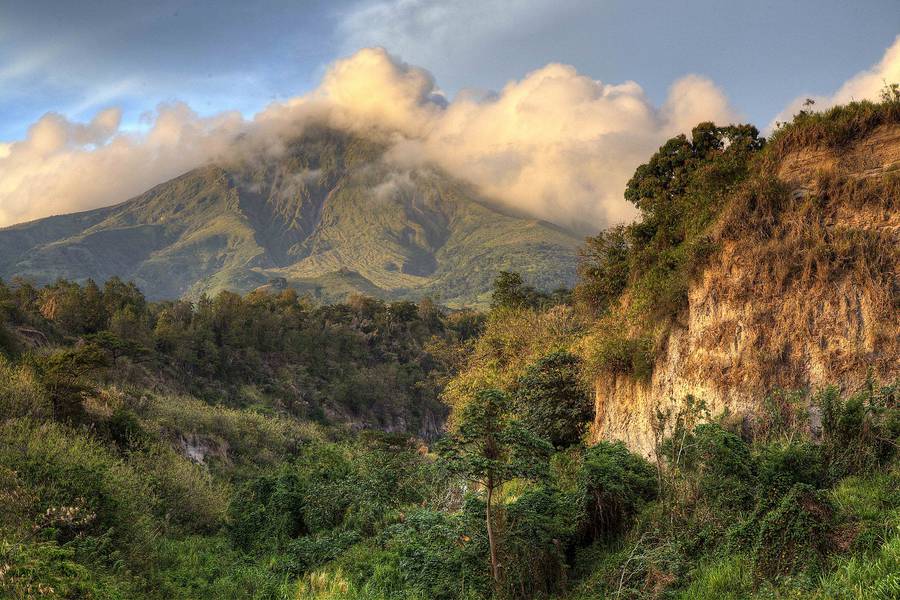
Martin Volcano Photos
Vulkan Mt. Pelée auf der Insel Martinique (Photo: Richard Arculus)
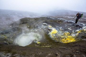
Martin fotografiert (Photo: Tom Pfeiffer)
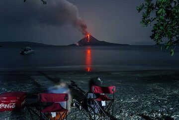
Ruth und Martina warten auf das Abendessen. (Photo: Tom Pfeiffer)
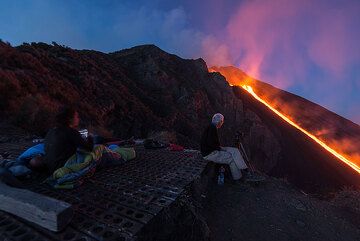
Martin fotografiert, während andere einfach aufwachen und den Lavastrom vor uns noch einmal bewundern. (Photo: Tom Pfeiffer)
Latest satellite images