Mayon Volcano
Updated: 25. Apr. 2024 00:19 GMT -
Stratovolcano 2462 m / 8,077 ft
Luzon Island, Philippines, 13.26°N / 123.69°E
Aktueller Status: Schwache Aktivität oder Ausbruchswarnung (3 von 5)
Luzon Island, Philippines, 13.26°N / 123.69°E
Aktueller Status: Schwache Aktivität oder Ausbruchswarnung (3 von 5)
Last update: 6 Mär 2024 (Smithsonian / USGS Weekly Volcanic Activity Report)

The majestic, perfectly symmetrical Mayon stratovolcano seen from the northwest during its eruption in 2018.
Mayon, the most famous of the active volcanoes of the Philippines, is a perfect stratovolcano rising to 2462 m on Luzon Island. It erupts very frequently.
[smaller] [larger]
Ausbrüche des Mayon: 1616, 1766, 1800, 1811(?), 1814, 1827, 1834, 1839, 1845, 1846, 1851, 1853, 1855, 1857, 1858, 1859, 1860, 1861, 1862, 1863(?), 1868, 1871-72, 1872, 1873, 1876, 1876, 1881-82, 1885, 1886-87, 1888, 1890, 1891-92, 1893, 1895, 1896, 1897, 1900, 1902(?), 1928, 1928, 1939, 1941, 1943, 1947, 1968, 1978, 1984, 1993, 1999-2000, 2001, 2002, 2003, 2003(?), 2004, 2006, 2009, 2013, 2018
Letzte Erdbeben in der Nähe
| Uhrzeit | Mag. / Tiefe | Entfernung / Ort | |||
Beschreibung
Mayon is the archetype of a symmetrical stratovolcano and one of the world most active ones. It has frequent eruptions producing pyroclastic flows, mud flows and ash falls that repeatedly triggered large-scale evacuations. Mayon's most violent eruption, in 1814, killed more than 1200 people and devastated several towns.the volcano rises 2462 m above the Albay Gulf and has very steep upper slopes averaging 35-40 degrees capped by a small summit crater.
Historical records of eruptions date back to 1616 and range from strombolian to basaltic plinian, with cyclical activity beginning with basaltic eruptions, followed by longer term andesitic lava flows. Eruptions occur predominately from the central conduit and have also produced lava flows that travel far down the flanks. Pyroclastic flows and mudflows have commonly swept down many of the approximately 40 ravines that radiate from the summit and have often devastated populated lowland areas.
---
Source: adapted from GVP / Smithsonian Institution
Mayon Volcano Photos

Vulkan Mayon, Legaspi, Philippinen, am 3. Februar 2012. (Photo: ThomasH)
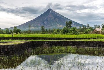
Der Mayon-Vulkan spiegelt sich in einem überfluteten Reisfeld (Photo: Tom Pfeiffer)

Mayon ist einer der beeindruckendsten und perfekt symmetrischen Stratovulkane der Welt. Der Blick erfolgt von Nordwesten. (Photo: Tom Pfeiffer)

Mondlicht beleuchtet Mayon und die Landschaft an seinen unteren Hängen mit Kokosnusshainen. (Photo: Tom Pfeiffer)
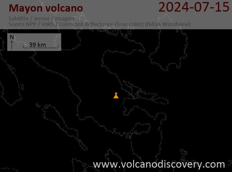
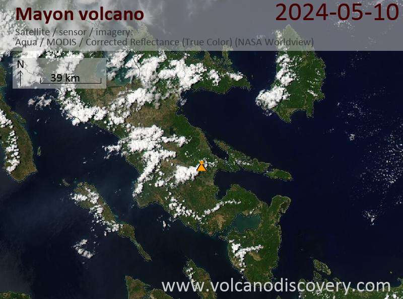
Latest satellite images