Roundtop Volcano
Updated: 25. Apr. 2024 12:54 GMT -
Stratovolcano 1871 m / 6,138 ft
United States, Aleutian Islands, 54.8°N / -163.59°W
Aktueller Status: normal / ruhend (1 von 5)
United States, Aleutian Islands, 54.8°N / -163.59°W
Aktueller Status: normal / ruhend (1 von 5)
[smaller] [larger]
Ausbrüche des Roundtop: 7600 BC ± 500 years
Letzte Erdbeben in der Nähe
| Uhrzeit | Mag. / Tiefe | Entfernung / Ort | |||
| 19. Apr. 01:55 (Anchorage) | 0.8 8 km | Info | |||
| 18. Apr. 23:22 (Anchorage) | 1.9 11 km | 29 km südlich | Info | ||
| Mittwoch, 17. April 2024 GMT (1 Beben) | |||||
| 16. Apr. 23:24 (Anchorage) | 1.8 12 km | 29 km südlich | Info | ||
| Sonntag, 14. April 2024 GMT (1 Beben) | |||||
| 14. Apr. 09:42 (Anchorage) | 0.4 12 km | Info | |||
| Samstag, 13. April 2024 GMT (2 Beben) | |||||
| 13. Apr. 07:42 (Anchorage) | 1.9 13 km | 28 km südlich | Info | ||
| 12. Apr. 20:23 (Anchorage) | 1.3 19 km | 21 km westlich | Info | ||
Beschreibung
The flat-topped, glacier-covered Roundtop volcano is the easternmost and lowest of an E-W-trending line of volcanoes on eastern Unimak Island. Roundtop lies 13 km SW of the village of False Pass. The snow and ice-covered edifice fills much of a 3-km-wide caldera that formed during the early Holocene. The caldera-forming eruption produced pyroclastic flows and a rhyolitic tephra layer that is widespread throughout the southwestern end of the Alaska Peninsula. A group of lava domes was constructed south of Roundtop volcano. No historical eruptions are known from the 1871-m-high stratovolcano. In the 1930s warm springs were found on its slopes.---
Smithsonian / GVP volcano information
Roundtop Volcano Photos
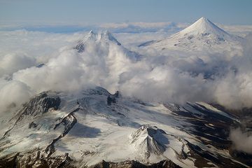
Die Vulkankette auf Unimak, von links nach rechts: Roundtop Mountain, Isanotski, Pogromni und Shishaldin. (Photo: marcofulle)
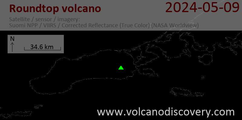
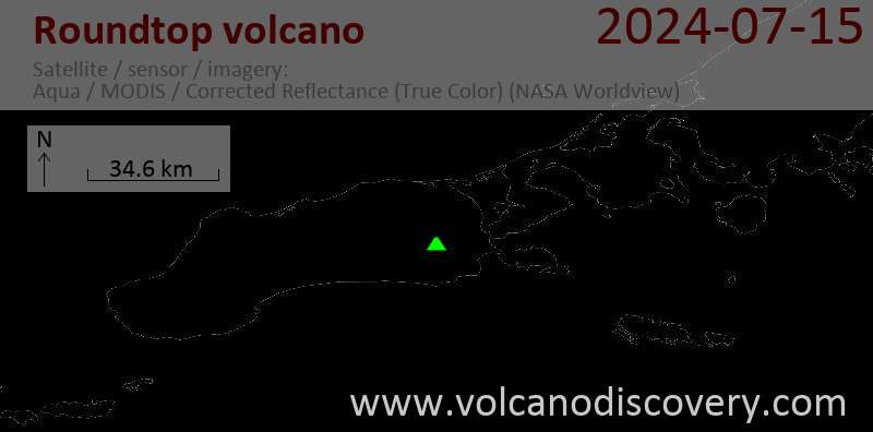
Latest satellite images