San Pablo Volcano
Updated: 18. Apr. 2024 11:09 GMT -
stratovolcano 1090 m / 3,576 ft
Luzon Island (Philippinen), 14.12°N / 121.3°E
Aktueller Status: normal / ruhend (1 von 5)
Luzon Island (Philippinen), 14.12°N / 121.3°E
Aktueller Status: normal / ruhend (1 von 5)
The San Pablo volcanic field, (also known as the Laguna volcanic field) in Rizal Province, Luzon Island, Philippines, lies at the southern end of Laguna de Bay, the largest lake on Luzon Island.
[smaller] [larger]
Ausbrüche des San Pablo: 1350 ± 100 years
Letzte Erdbeben in der Nähe
| Uhrzeit | Mag. / Tiefe | Entfernung / Ort | |||
| 8. Apr. 20:56 (Manila) | 1.6 1 km | 4.3 km westlich | Info | ||
Beschreibung
The San Pablo volcanic field contains dozens of scoria cones and maars. 3 generations of maars are present: the oldest are shallow and filled with sediment and the youngest still contain deep crater lakes.Most of the vents in the volcanic field follow a NE-SW trend. According to local legends, the youngest explosion crater, the 1.2-km-wide Sampaloc Lake, was formed only about 500-700 years ago.
The highest point of the volcanic field is formed by the eroded Maquiling (Makiling) andesitic-to-rhyolitic stratovolcano. Maquiling still has a 480 m deep crater and several parasitic cones, maars. Many fumarole fields are found at its northern base and a geothermal project is located on the south flank of Maquiling volcano.
Laguna de Bay lake borders the town of Manila at its SE margin. The lake is a caldera that erupted ca. 47,000 year ago (radiocarbon dating of charcoal in a ash flow deposit).
(Source: USGS/GVP volcano information)
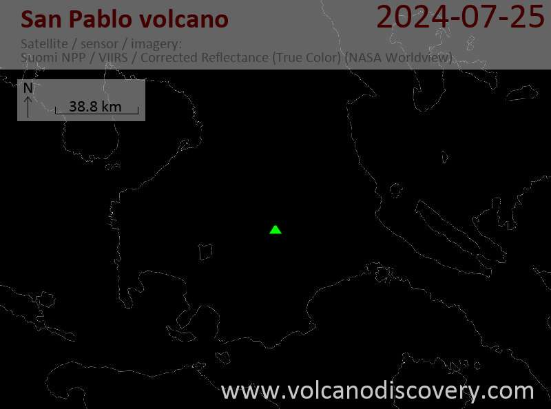
Latest satellite images