Tangkoko Volcano
Updated: 25. Apr. 2024 19:16 GMT -
stratovolcano 1149 m / 3,770 ft
North Sulawesi, Indonesia, 1.52°N / 125.2°E
Aktueller Status: normal / ruhend (1 von 5)
North Sulawesi, Indonesia, 1.52°N / 125.2°E
Aktueller Status: normal / ruhend (1 von 5)
Last update: 12 Dez 2021 (Smithsonian / USGS Weekly Volcanic Activity Report)
Tangkoko (also spelled Tonkoko, Tangkoko-Duasudara) is a stratovolcano 8 km north of the city of Bitung in NE Sulawesi, the most northeasterly of the volcanoes on the Island of Sulawesi, before the chain extends into the ocean as a chain of island volcanoes.
Tangkoko volcano is mostly known for its location within Tangkoko-Batuangas Dua Saudara National Park, home to tarsiers, a small primate with large eyes and active at night (nocturnal).
[smaller] [larger]
Ausbrüche des Tangkoko: 1880, 1843-46, 1821, 1801, 1694, 1683, 1680 (Plinian eruption)
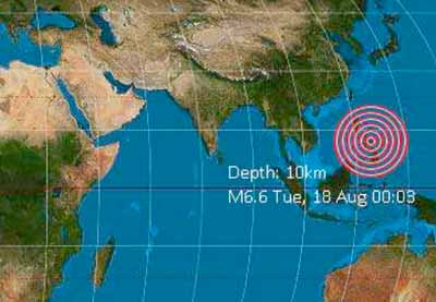
Letzte Erdbeben in der Nähe
| Uhrzeit | Mag. / Tiefe | Entfernung / Ort | |||
Beschreibung
Tongkoko volcano has a large 2 x 1 km wide and 200 m deep summit crater. In 1801, it contained a cone surrounded by a lake.In 1801, a large, 3 km wide and flat-topped basaltic-andesitic lava dome called Batu Angus formed on the east flank of Tongkoko.
The slightly higher and older Dua Saudara stratovolcano is located only 3 km to the SW of Tongkoko, and along with Tongkoko, forms the most prominent features of Gunung Dua Saudara National Park.
Ausbrüche des Vulkans Tangkoko
2002 earthquakes
Increased seismic activity under Tongoko volcano was observed in 2002, prompting an increased of Alert Level from 1 to 2. The increasing seismicity is significant because of the long repose interval of the volcano and could suggest new magma rising towards the surface.
Increased seismic activity under Tongoko volcano was observed in 2002, prompting an increased of Alert Level from 1 to 2. The increasing seismicity is significant because of the long repose interval of the volcano and could suggest new magma rising towards the surface.
1680 eruption - climatic change
The eruption of 1680 of Tongoko volcano was a one of the major explosive eruptions in the past centuries.
Evidence of the release of aerosols high into the stratosphere has been found in Greenland Ice cores. In the year following the eruption, sunsets all over the world have been more colorful because of the dust veil, a recent study has suggests:
"Atmospheric effects of volcanic eruptions as seen by famous artists
and depicted in their paintings", C. S. Zerefos, V. T. Gerogiannis, D. Balis, S. C. Zerefos, and A. Kazantzidis, Atmos. Chem. Phys., 7, 4027–4042, 2007
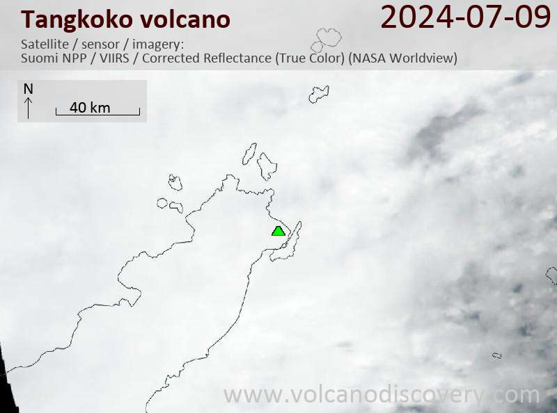
Latest satellite images