Επαφή | RSS | EN | DE | EL | ES | FR | IT | RU

Ardoukôba Volcano

Updated: 18 Απριλίου 2024 14:42 GMT -
Fissure vent(s), Pyroclastic cone(s), Tuff cone(s) 298 m / 978 ft
Djibouti, 11.58°N / 42.47°E
Current status: normal or dormant (1 out of 5)

The Ardoukôba (Asal) Rift in Djibouti, trending NW from the Red Sea, contains a broad area of youthful fissure vents between Lake Asal and the Ghoubbat al Kharab gulf. It is subaerially exposed over 12 km between these two bodies of water and contains numerous basaltic cinder and spatter cones.

[smaller] [larger]
Typical eruption style: effusive fissure eruptions
Ardoukôba volcano eruptions: 1978

Latest nearby earthquakes

Δεν πρόσφατους σεισμούς
ΏραMag. / ΒάθοςΑπόσταση / Τοποθεσία

Background

The silicic centers of Eger Alayta and Asa Aleyta, on the N and S sides, are remnants of a Pleistocene silicic center that has been disrupted and spread apart. Magma-water interaction has produced tuff cones, some of which form islands or are breached by the sea. The most recent lava flows are younger than lake sediments deposited 5,300 years ago. These lavas were thought to have been erupted during the past 3,000 years (Delibrias et al., 1975). The fissure erupted in 1978, producing a small cinder cone and lava flows that covered part of the rift floor near the Red Sea.
Source: Smithsonian / GVP

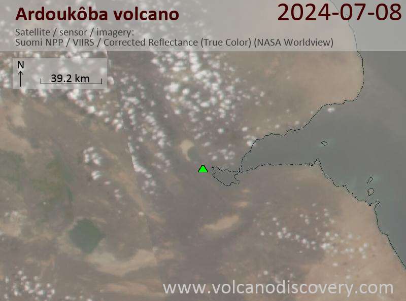
Latest satellite images

Ardoukoba satellite image sat1Ardoukoba satellite image sat2

Στην σελίδα:

Try our free app!
Volcanoes & Earthquakes - new app for Android
Android | iOS version

Περισσότερα για VolcanoDiscovery

Why is there advertising on this site?

Support us - Help us upgrade our services!

We truly love working to bring you the latest volcano and earthquake data from around the world. Maintaining our website and our free apps does require, however, considerable time and resources.
We need financing to increase hard- and software capacity as well as support our editor team. We're aiming to achieve uninterrupted service wherever an earthquake or volcano eruption unfolds, and your donations can make it happen! Every donation will be highly appreciated. If you find the information useful and would like to support our team in integrating further features, write great content, and in upgrading our soft- and hardware, please make a donation (PayPal or Online credit card payment).

Planned features:Thanks to your past donations, these features have been added recently:
Download and Upgrade the Volcanoes & Earthquakes app to get one of the fastest seismic and volcano alerts online:
Android | IOS
Thank you!
Sources: VolcanoDiscovery / VolcanoAdventures and other sources as noted.
Use of material: Most text and images on our websites are owned by us. Re-use is generally not permitted without authorization. Contact us for licensing rights.
Volcanoes & Earthquakes
VolcanoDiscovery Home
Ηφαίστεια | Σεισμοί | Photos | News | App
Adventure & Study Travel
Tours to Volcanoes and Volcanic Areas: walking tours, photo tours, study tours
Tours & Dates | FAQ | About us
Get our newsletter!
Company info
Contact | Legal info | Terms & conditions
Follow us
Follow us on facebook Follow us on Instagram Follow us on Twitter Visit our Youtube channel
EN | DE | EL | ES | FR | IT | RU
VolcanoDiscovery GmbH, Germany, Reg. nr.: HRB 103744, EU Tax Id: DE 297 465 123 owned and created by
Dr. Tom Pfeiffer, volcanologist, volcano photographer, tour organizer member of
IAVCEI
IAVCEI
Vulkanologische Gesellschaft
Volcanological Society
Ecotourism Greece
Ecotourism Greece
RUV insurance
Insured by R+V
VolcanoDiscovery © 2004- All Rights Reserved | Privacy - Cookie Settings