Iliwerung Volcano
Updated: 19 abr. 2024 22:48 GMT -
complex volcano 1018 m / 3,340 ft
Islas menores de la Sonda (Indonesia), -8.53°S / 123.57°E
Current status: normal or dormant (1 out of 5)
Islas menores de la Sonda (Indonesia), -8.53°S / 123.57°E
Current status: normal or dormant (1 out of 5)
Last update: 15 mar 2022 (Smithsonian / USGS Weekly Volcanic Activity Report)
Iliwerung volcano forms a prominent south-facing peninsula on Lembata (Lomblen) Island and lies 80 km east of Flores. Its craters and lava domes have been built along N-S and NW-SE trend. In historical time both vents from the summit and submarine vents on the SE flank have been active.
[smaller] [larger]
Erupciones del volcán Iliwerung: 2013, 1993, 1983, 1976 (?), 1973-74, 1952, 1951, 1950, 1949, 1948, 1941 (?), 1928, 1910, 1870
Latest nearby earthquakes
| Fecha / Hora | Revista / Prof. | Distancia / Ubicación | |||
| 10 abr 15:18 (Makassar) | 3.5 90 km | 9.4 km al este | Más | ||
Background
Iliwerung volcano was constructed on the southern rim of the Lerek caldera. The present-day summit lava dome was built during an eruption in 1870. In 1948 the Iligripe lava dome grew on the eastern flank at 120 m altitude. In 1973-74, 3 temporary new islands were formed, when submarine eruptions began on the lower SE flank at a vent named Hobal.Erupciones del volcán Iliwerung
1993 submarine eruption
A submarine eruption took place at the Hobal vent at 50 m water depth, ca. 1 km SE off the coast of Iliwerung on 16 September 1993. The eruptions produced a water column 100 m high. ...más info
A submarine eruption took place at the Hobal vent at 50 m water depth, ca. 1 km SE off the coast of Iliwerung on 16 September 1993. The eruptions produced a water column 100 m high. ...más info
1983 submarine eruption
Explosions occurred 17 and 18 August from a submarine vent south of Iliwerung.
Explosions occurred 17 and 18 August from a submarine vent south of Iliwerung.
1979 landslide and deadly tsunami
In July 1979, a large landslide removed ca. 50 million m3 from the NW flank of Iliwerung volcano, a third of which reached the sea and caused a tsunami that killed hundreds of people.
In July 1979, a large landslide removed ca. 50 million m3 from the NW flank of Iliwerung volcano, a third of which reached the sea and caused a tsunami that killed hundreds of people.
1973-74 submarine eruptions, temporary islands
Submarine eruptions between December 1973 and August 1974 created 3 new temporary islands, which subsequently were eroded and disappeared. ...más info
Submarine eruptions between December 1973 and August 1974 created 3 new temporary islands, which subsequently were eroded and disappeared. ...más info
1948 flank eruption
An eruption of Iliwerung volcano on 7 May 1948 produced a violent pyroclastic flow which reached the east coast and killed 300 cattle and destroying 100 farming sections. The eruption partly destroyed the lava dome. On 9 May, another eruption occurred at the lower eastern base of Iliwerung at about 140 m altitude and produced an ash plume of 4 km height, and opened a new 120 m wide crater, from which a viscous lava flow emerged, building up a new lava dome, called Iligripe. The new dome reached a height of 50 m by 11 May.
---
Source: Report on the volcanic activity and volcanological research in indonesia during the period 1936–1948, R. W. van Bemmelen, Bul. Volc, V.9, Nr 1, 3-2
1870 eruption - summit lava dome
Iliwerung's summit lava dome formed during an eruption in 1870.
Iliwerung's summit lava dome formed during an eruption in 1870.
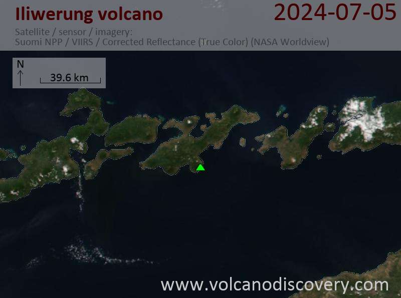
Latest satellite images