Ngauruhoe Volcano
Updated: 19 abr. 2024 19:56 GMT -
Stratovolcano 1978 m (6,489 ft)
Isla del Norte (New Zealand), -39.13°S / 175.64°E
Current status: normal or dormant (1 out of 5)
Isla del Norte (New Zealand), -39.13°S / 175.64°E
Current status: normal or dormant (1 out of 5)
Last update: 24 abr 2015
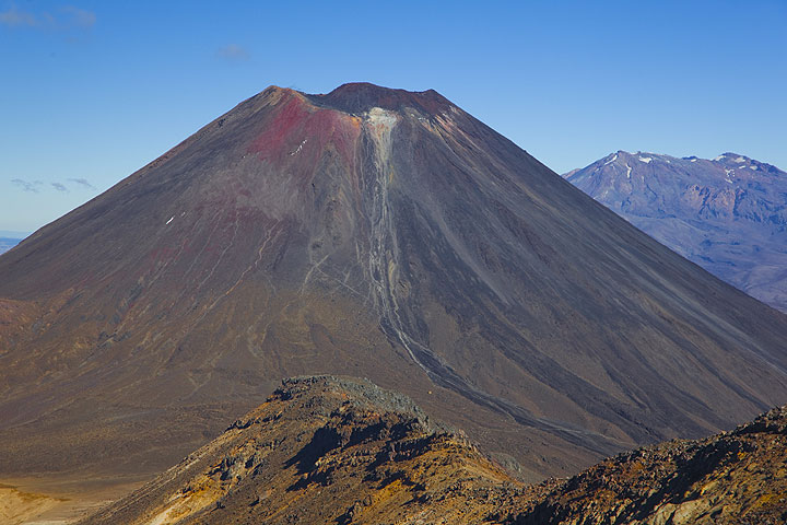
Ngauruhoe volcano seen from Tongariro; Ruhapehu volcano in the background.
Ngauruhoe (pronouned "Nauruhó"), a steep 600 m tall stratovolcano 17 km NNE of Ruhapehu volcano, is the main vent of Tongariro volcano and one of New Zealand's most active volcanoes. Its last eruptive phase in 1975-77 produced violent ash explosions, lava fountains and pyroclastic flows. In its recent past, Ngauruhoe has been erupting around every 10 years and the time lapsed since then makes this the longest repose interval known in its recorded history.
[smaller] [larger]
Erupciones del volcán Ngauruhoe: 1975-77, 1972, 1968-69, 1962, 1958-59, 1956, 1948-54, 1939-40, 1937, 1934, 1931, 1924-28, 1917, 1913-14, 1909-10, 1904-07, 1897-98, 1892, 1883, 1881, 1878, 1875, 1869-70, 1862-64, 1857, 1844, 1841, 1839, 550 BC ± 200
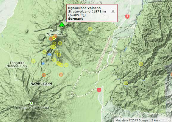
Latest nearby earthquakes
| Fecha / Hora | Revista / Prof. | Distancia / Ubicación | |||
| 11 abr 14:26 (Auckland) | 2.3 8.2 km | 18 km al suroeste | Más | ||
| miércoles, 10 abril 2024 GMT (1 sismo) | |||||
| 10 abr 23:56 (Auckland) | 1.5 75 km | 27 km al suroeste | Más | ||
| martes, 9 abril 2024 GMT (1 sismo) | |||||
| 9 abr 18:02 (Auckland) | 2.0 119 km | 24 km al norte | Más | ||
| sábado, 6 abril 2024 GMT (1 sismo) | |||||
| 7 abr 07:35 (Auckland) | 1.7 112 km | 13 km al oeste | Más | ||
| miércoles, 17 abril 2024 GMT (1 sismo) | |||||
| 18 abr 10:51 (Auckland) | 1.4 19 km | 26 km al suroeste | Más | ||
| viernes, 12 abril 2024 GMT (1 sismo) | |||||
| 13 abr 03:36 (Auckland) | 1.3 85 km | 14 km al noreste | Más | ||
Background
Ngauruhoe is the youngest and most active cone of the large Tongariro volcanic complex, and forms today its highest peak. Ngauruhoe started to grow about 2500 years ago and has been frequently active in historic times.Erupciones del volcán Ngauruhoe
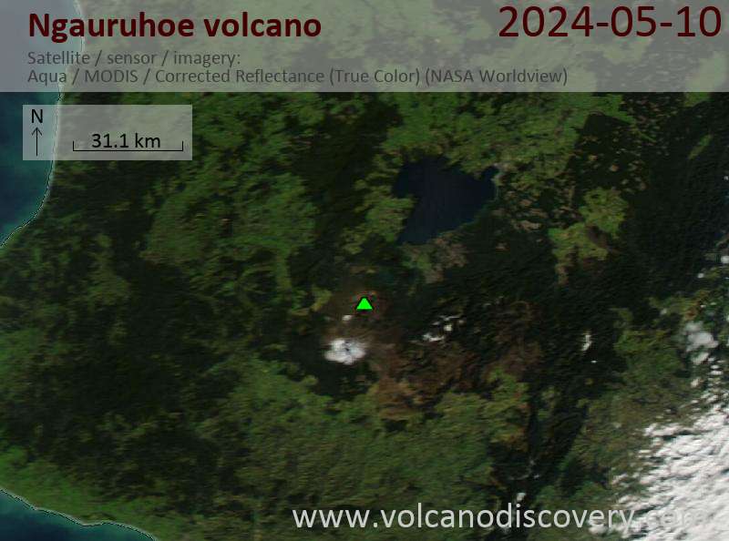
Latest satellite images