Contact | RSS | EN | DE | EL | ES | FR | IT | RU

Segula Volcano

Updated: 24 abr. 2024 17:24 GMT -
Stratovolcano 1160 m / 3,806 ft
United States, Aleutian Islands, 52.02°N / 178.14°E
Current status: normal or dormant (1 out of 5)

[smaller] [larger]
Typical eruption style: unspecified
Erupciones del volcán Segula: unknown, no recent eruptions

Latest nearby earthquakes

Fecha / HoraRevista / Prof.Distancia / Ubicación
19 abr 04:49 (Adak)
0.4

7.1 km
26 km al este Rat Islands, Aleutian Islands, Alaska
Más
sábado, 13 abril 2024 GMT (1 sismo)
13 abr 01:14 (Adak)
0.1

4.4 km
25 km al este Rat Islands, Aleutian Islands, Alaska
Más

Background

The 6 x 7 km island of Segula east of Kiska volcano consists of a conical stratovolcano cut by a prominent NNW-SSE-trending fissure that extends to sea level at both ends of the island. The northern end of the fissure is flooded by the sea to produce a long, narrow cove. Segula was constructed above a 100-m-deep submarine platform that extends eastward to Khvostof and Davidof islands. A submarine debris-avalanche deposit extends up to 18 km offshore to the north. The summit of Segula contains a small, poorly defined caldera that is partly overtopped on the south by a cinder cone that forms the 1153 m high point of the island and on the north by extensive lava flows that reach the NE coast along a broad front. Another lava field on the SE coast originated from a cinder cone at 300 m altitude on the SE flank. No historical eruptions are known from Segula, but Nelson (1959) considered fresh lava flows on the north flank to possibly be only a few hundred years old.
---
Smithsonian / GVP volcano information

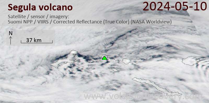
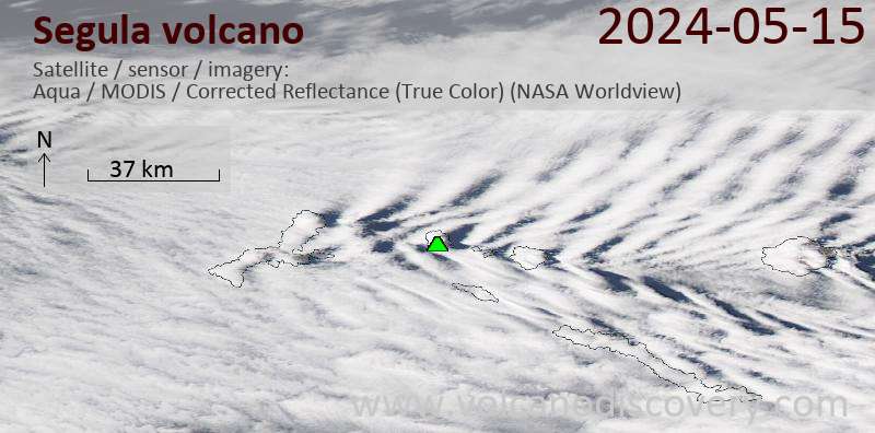
Latest satellite images

segula satellite image sat1segula satellite image sat2

No news in this list.

En esta página:

Try our free app!
Volcanoes & Earthquakes - new app for Android
Android | iOS version

Más en VolcanoDiscovery

Why is there advertising on this site?

Support us - Help us upgrade our services!

We truly love working to bring you the latest volcano and earthquake data from around the world. Maintaining our website and our free apps does require, however, considerable time and resources.
We need financing to increase hard- and software capacity as well as support our editor team. We're aiming to achieve uninterrupted service wherever an earthquake or volcano eruption unfolds, and your donations can make it happen! Every donation will be highly appreciated. If you find the information useful and would like to support our team in integrating further features, write great content, and in upgrading our soft- and hardware, please make a donation (PayPal or Online credit card payment).

Planned features:Thanks to your past donations, these features have been added recently:
Download and Upgrade the Volcanoes & Earthquakes app to get one of the fastest seismic and volcano alerts online:
Android | IOS
Thank you!
Sources: VolcanoDiscovery / VolcanoAdventures and other sources as noted.
Use of material: Most text and images on our websites are owned by us. Re-use is generally not permitted without authorization. Contact us for licensing rights.
Volcanoes & Earthquakes
VolcanoDiscovery Home
Volcanes | Sismos | Fotos | News | App
Adventure & Study Travel
Tours to Volcanoes and Volcanic Areas: walking tours, photo tours, study tours
Tours & Dates | FAQ | About us
Get our newsletter!
Company info
Contact | Legal info | Terms & conditions
Follow us
Follow us on facebook Follow us on Instagram Follow us on Twitter Visit our Youtube channel
EN | DE | EL | ES | FR | IT | RU
VolcanoDiscovery GmbH, Germany, Reg. nr.: HRB 103744, EU Tax Id: DE 297 465 123 owned and created by
Dr. Tom Pfeiffer, volcanologist, volcano photographer, tour organizer member of
IAVCEI
IAVCEI
Vulkanologische Gesellschaft
Volcanological Society
Ecotourism Greece
Ecotourism Greece
RUV insurance
Insured by R+V
VolcanoDiscovery © 2004- All Rights Reserved | Privacy - Cookie Settings