Tanga Volcano
Updated: 24 abr. 2024 19:47 GMT -
stratovolcano / caldera 472 m / 1,549 ft
Provincia de Nueva Irlanda (Papúa Nueva Guinea), -3.5°S / 153.22°E
Current status: (probably) extinct (0 out of 5)
Provincia de Nueva Irlanda (Papúa Nueva Guinea), -3.5°S / 153.22°E
Current status: (probably) extinct (0 out of 5)
Tanga volcano is a mostly submerged stratovolcano and caldera forming the Tanga islands, located 44 km from New Ireland.
The islands belonging to the caldera rim consist of Lif (283 m high), Tefa (155 m), southern Malendok (472 m). The smaller islands Bitlit and Bitbok are post-caldera lava domes in the centre of the caldera.
It is unknown if Tanga volcano is still active. A small hot spring on Malendok Islands marks the only current thermal activity.
[smaller] [larger]
Erupciones del volcán Tanga: more than 11,700 years ago
Latest nearby earthquakes
| Fecha / Hora | Revista / Prof. | Distancia / Ubicación | |||
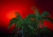
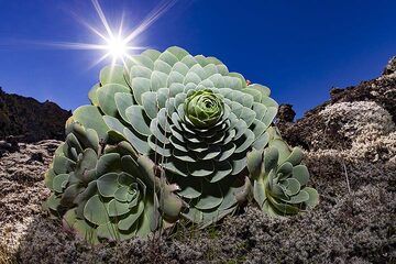
Tanga Volcano Photos
Una planta típica que contiene agua en el campo de lava del volcán Tanganasoga en la isla de El Hierro. (Photo: Tobias Schorr)
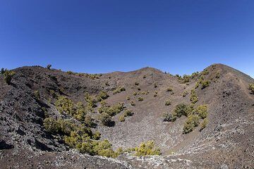
El cráter occidental del volcán Tanganasoga en la isla de El Hierro. (Photo: Tobias Schorr)
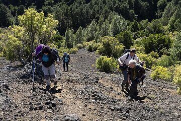
El grupo asciende a los cráteres del volcán Tanganasoga en la isla de El Hierro. ¡Este volcán podría volver a entrar en erupción y en los últimos años se han registrado m...
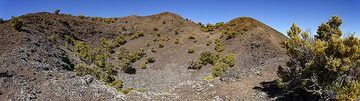
Vista panorámica del cráter Tanganasoga en la isla de El Hierro. (Photo: Tobias Schorr)
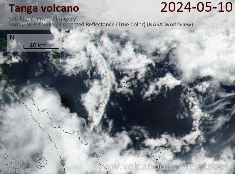
Latest satellite images