Ta'u Volcano
Updated: 24 abr. 2024 15:52 GMT -
Shield volcano 931 m / 3,054 ft
United States, Samoan Islands, -14.23°S / -169.45°W
Current status: normal or dormant (1 out of 5)
United States, Samoan Islands, -14.23°S / -169.45°W
Current status: normal or dormant (1 out of 5)
Last update: 4 oct 2022 (alert level lowered to Green)
[smaller] [larger]
Erupciones del volcán Ta'u: unknown, no recent eruptions
Latest nearby earthquakes
| Fecha / Hora | Revista / Prof. | Distancia / Ubicación | |||
Background
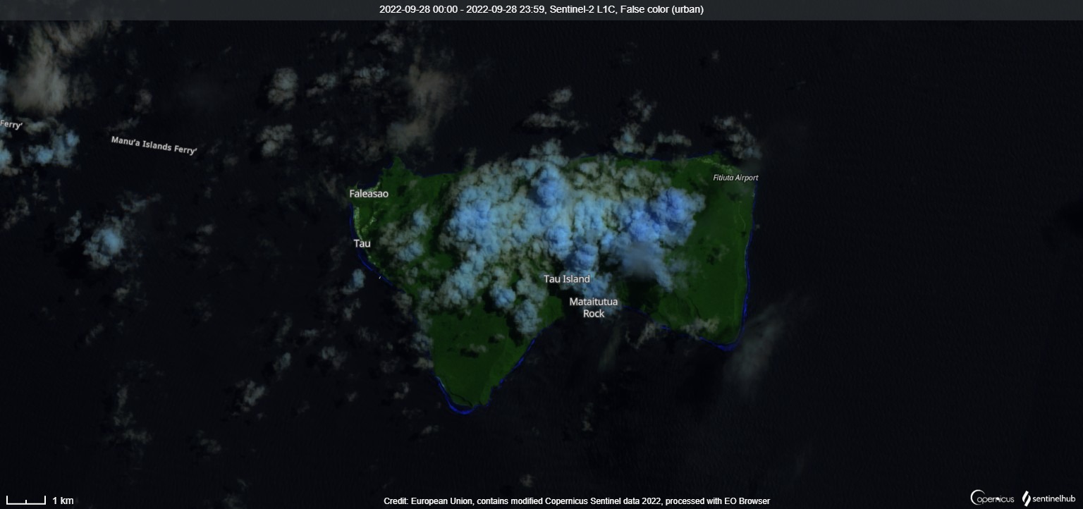
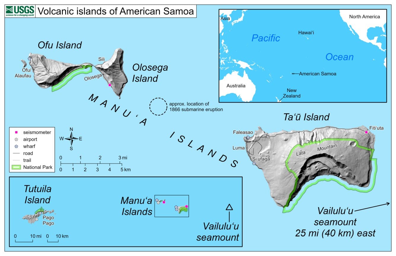
The rectangular, 6 x 10 km Ta'u Island, located at the eastern end of the Samoan islands, is ringed by sea cliffs. The 931-m-high island is the emergent portion of the large Lata shield volcano. Collapse and landsliding of the southern portion of the basaltic shield volcano have left an arcuate, south-facing embayment with a steep headwall overlooking several flat benches. Two smaller shields were constructed along two rift zones at the NW and NE tips of the island. The NW corner of the island is extended by a tuff-cone complex that draped sea cliffs and ejected large dunite xenoliths and coral blocks. Numerous Holocene post-caldera cones occur at the summit and flanks of the Lata shield volcano.---
Smithsonian / GVP volcano information
Latest satellite images