


Etrusk Volcano
Updated: Nov 14, 2025 12:08 GMT -
Stratovolcano
Turkey, 39.03°N / 43.66°E 
Summit height: 3100 m / 10171 ft
Current status: (probably) extinct (0 out of 5)
[smaller] [larger]
Etrusk volcano eruptions: None during the past 10,000 years
Less than few million years ago (Pleistocene)
Latest nearby earthquakes
| Date and Time | Mag / Depth | Distance / Location | |||
|---|---|---|---|---|---|
| Nov 11, 01:56 am (Istanbul) | 2.2 7.3 km | 21 km (13 mi) to the S | Info | ||
| Saturday, November 8, 2025 GMT (1 quake) | |||||
| Nov 8, 10:28 am (Istanbul) | 1.7 7 km | 20 km (12 mi) to the SE | Info | ||
| Monday, November 3, 2025 GMT (1 quake) | |||||
| Nov 3, 12:42 am (Universal Time) | 1.6 16 km | 17 km (10.4 mi) to the SW | Info | ||
| Sunday, October 26, 2025 GMT (1 quake) | |||||
| Oct 26, 01:47 am (Universal Time) | 1.0 14 km | 19 km (12 mi) to the S | Info | ||
| Saturday, October 18, 2025 GMT (1 quake) | |||||
| Oct 19, 02:50 am (Istanbul) | 1.7 11 km | 19 km (12 mi) to the SW | Info | ||
| Wednesday, October 8, 2025 GMT (1 quake) | |||||
| Oct 8, 10:02 pm (Istanbul) | 2.5 5.1 km | 22 km (14 mi) to the S | Info | ||
| Saturday, October 4, 2025 GMT (1 quake) | |||||
| Oct 4, 02:00 am (Universal Time) | 1.2 7.1 km | 16 km (10.2 mi) to the NW | Info | ||
Background
As described by Oyan et al. (2010), the Pliocene Etrüsk volcano is one of the major volcanic centers of eastern Anatolia, just NE of Lake Van. There is a ~5-km-wide horseshoe-shaped caldera near the center of the volcano, with the Pleistocene Karniyak scoria cone about 11 km away on the SW flank near the lake. K-Ar age determinations by Oyan et al (2010) indicate that the main volcanic edifice of Etrusk was formed between 4.3 and 3.9 Ma, ending with caldera collapse. Between ~1 and 0.43 Ma, basalts erupted from the SW flank, predominantly from a ~N-S extending fissure, as well as from Karniyarik hill and a maar-shaped volcanic center (Düzgeyikçukuru). Lebedev et al. (2009) noted that the youngest dated trachybasalt from Karniyarek was 0.36 +/- 0.06 Ma.---
Source: Smithsonian / GVP volcano information
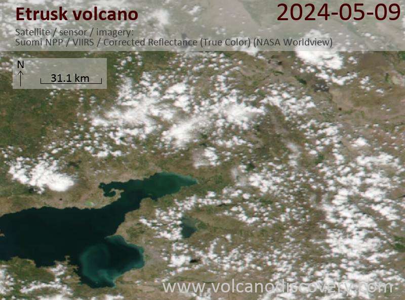
Latest satellite images
Etrusk Volcano Maps
Below is a selection of maps showing the location and surroundings of the volcano at various resolutions based on aerial-imagery / terrain maps. Feel free to use them for non-commercial purposes on your blog or website as long as you credit them with a link back to this page (click to copy it).
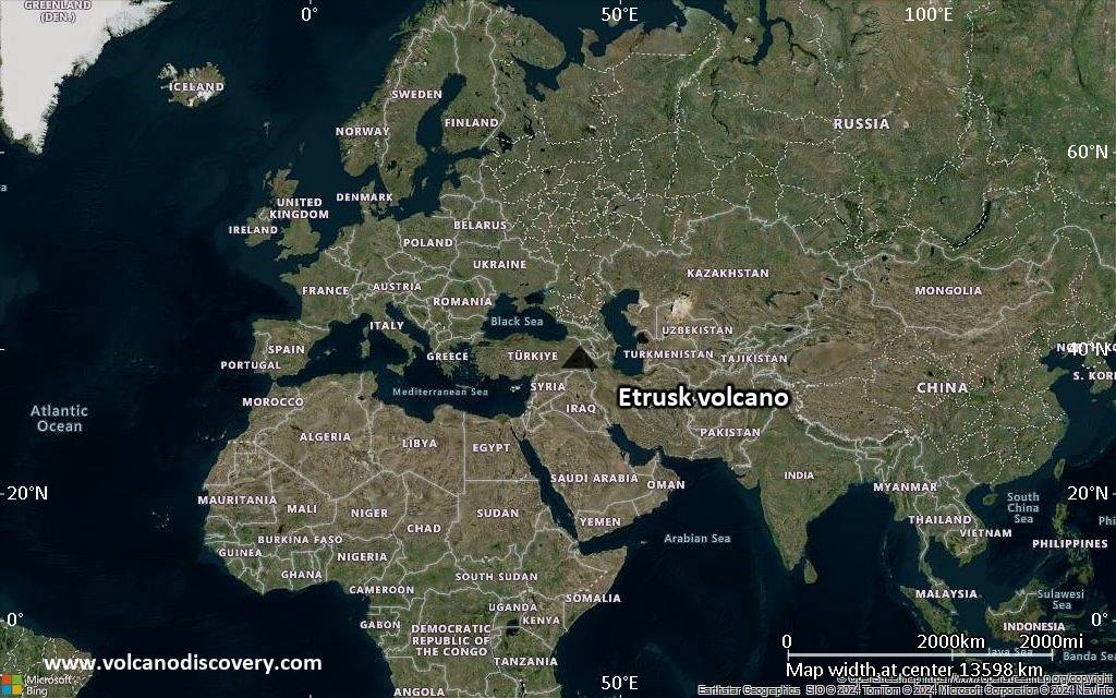
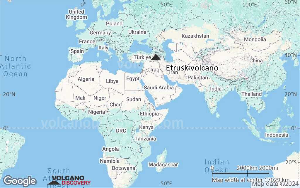
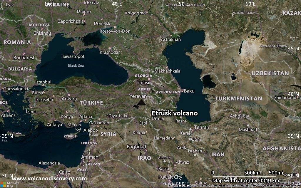
Satellite/aerial-type map of Etrusk volcano (world scale)
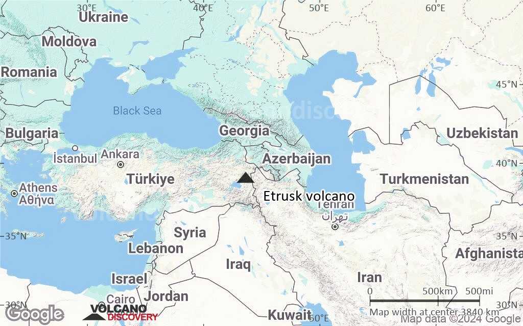
Terrain-type map of Etrusk volcano (world scale)
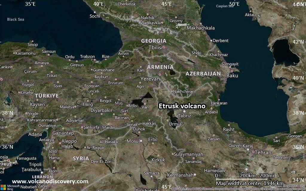
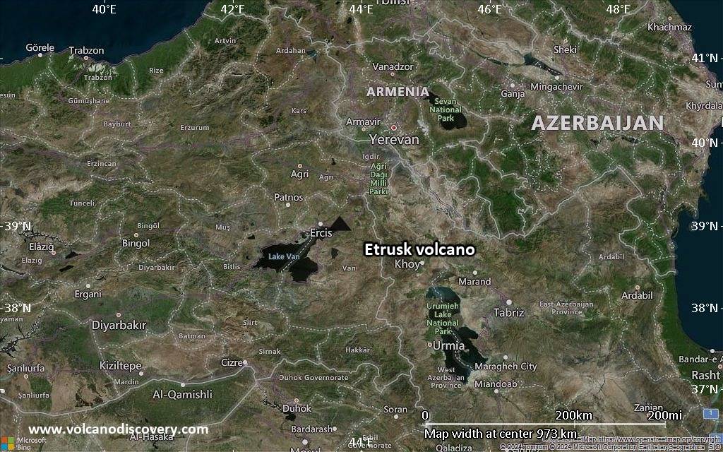
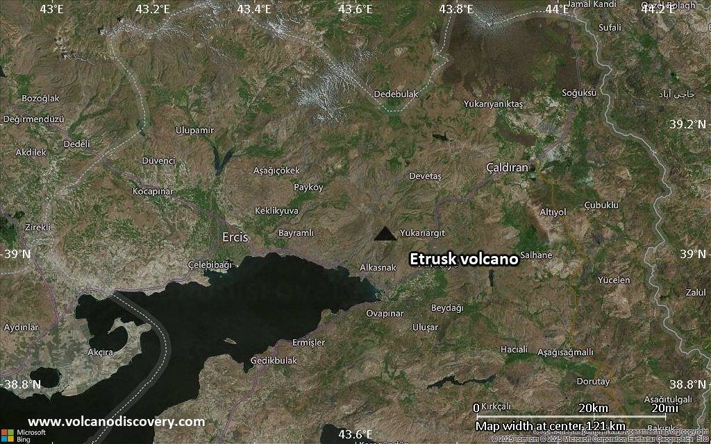
Satellite/aerial-type map of Etrusk volcano (region scale large)
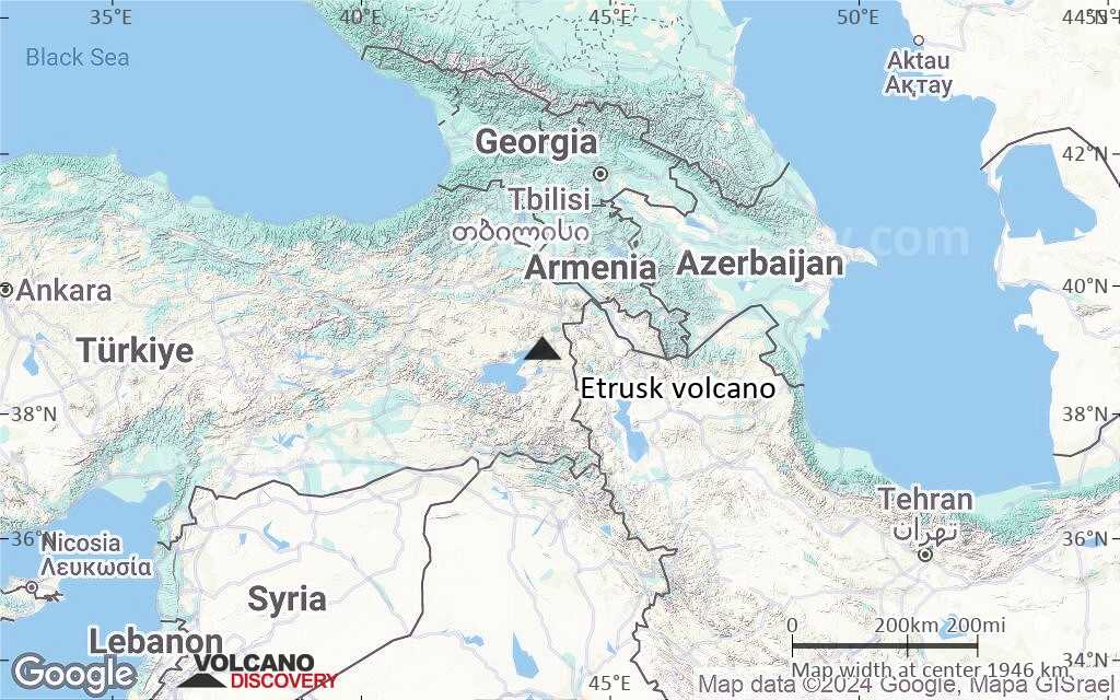
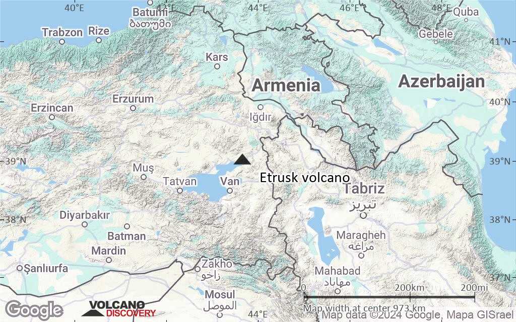
Terrain-type map of Etrusk volcano (region scale large)
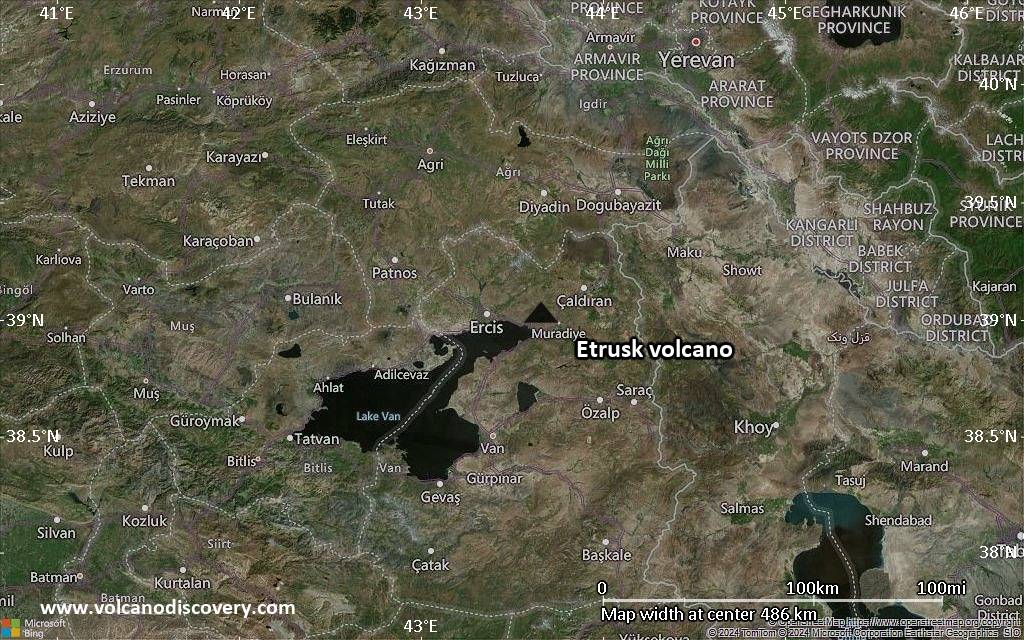
Satellite/aerial-type map of Etrusk volcano (region scale medium)
Terrain-type map of Etrusk volcano (region scale medium)
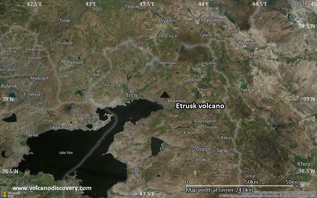
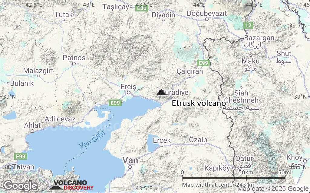
Satellite/aerial-type map of Etrusk volcano (region scale small)
Terrain-type map of Etrusk volcano (region scale small)
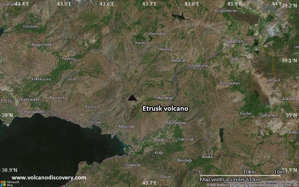
Satellite/aerial-type map of Etrusk volcano (local scale large)

Terrain-type map of Etrusk volcano (local scale large)
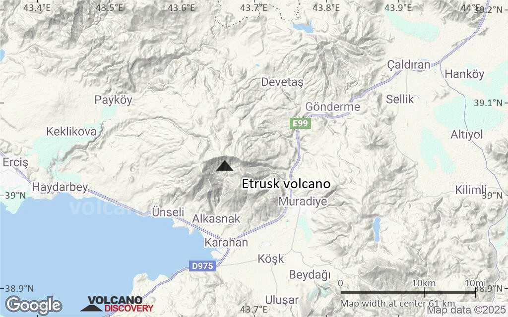
Satellite/aerial-type map of Etrusk volcano (local scale medium)
Terrain-type map of Etrusk volcano (local scale medium)
Satellite/aerial-type map of Etrusk volcano (local scale small)

Terrain-type map of Etrusk volcano (local scale small)
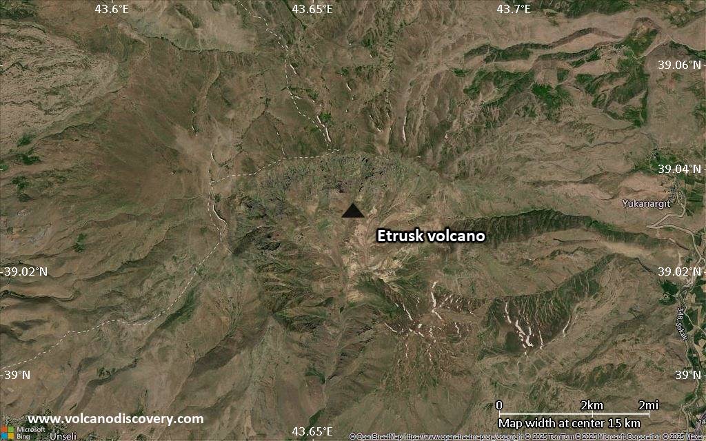
Satellite/aerial-type map of Etrusk volcano (scale of 10s of km)
Terrain-type map of Etrusk volcano (scale of 10s of km)
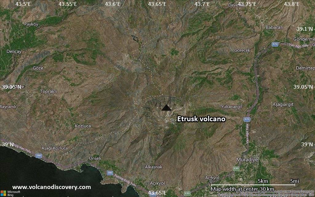
Satellite/aerial-type map of Etrusk volcano (scale of 20-40 km)
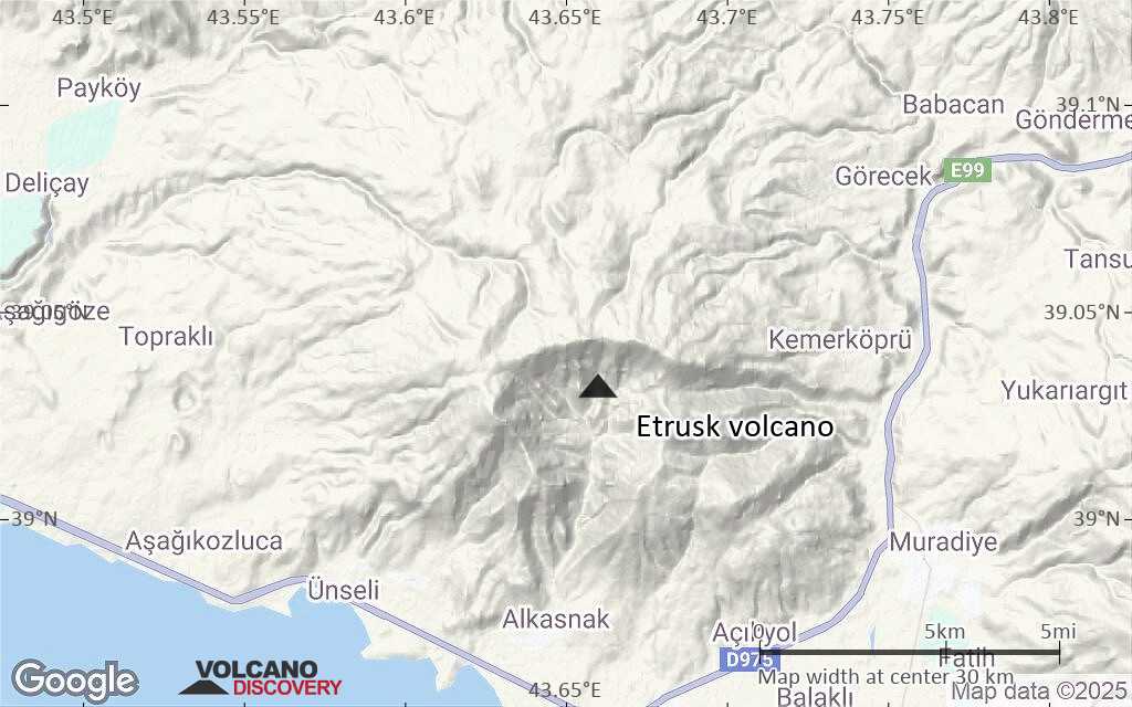
Terrain-type map of Etrusk volcano (scale of 20-40 km)
Satellite/aerial-type map of Etrusk volcano (scale of approx. 10-20 km)

Terrain-type map of Etrusk volcano (scale of approx. 10-20 km)
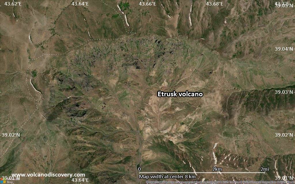
Satellite/aerial-type map of Etrusk volcano (scale of 5-10 km)

Satellite/aerial-type map of Etrusk volcano (scale of few kilometers)


